MyTopo
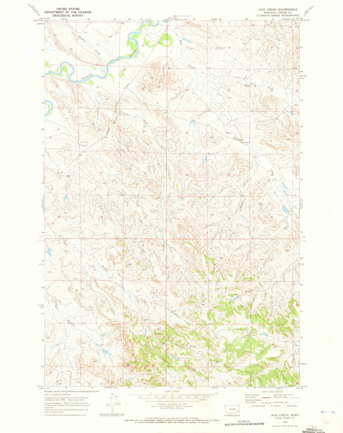
Classic USGS Jack Creek Montana 7.5'x7.5' Topo Map
Regular price
$16.95
Regular price
Sale price
$16.95
Unit price
per
Couldn't load pickup availability
Historical USGS topographic quad map of Jack Creek in the state of Montana. Map scale may vary for some years, but is generally around 1:24,000. Print size is approximately 24" x 27"
This quadrangle is in the following counties: Custer.
The map contains contour lines, roads, rivers, towns, and lakes. Printed on high-quality waterproof paper with UV fade-resistant inks, and shipped rolled.
Contains the following named places: 03N48E18DBBB01 Well, 04N47E23CCAB01 Well, 04N48E20DBBC01 Well, Ash Creek, Christensen Number 8 Dam, Dry Creek, East Fork Ash Creek, Failings Number 5 Dam, Fortune Number 3 Dam, Fortune Number 5 Dam, Plunket Creek, Powell Number 2 Dam, Sand Creek