MyTopo
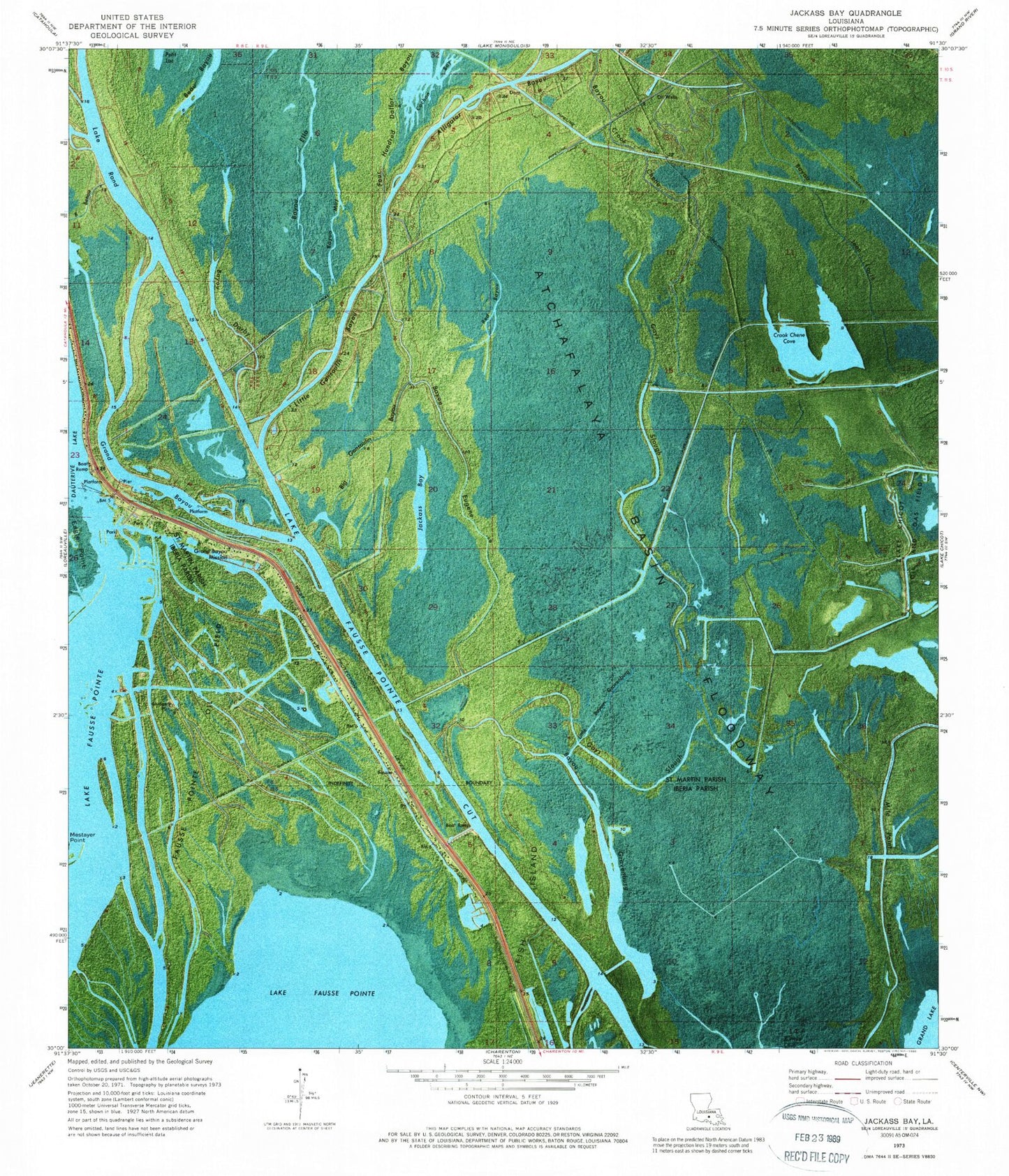
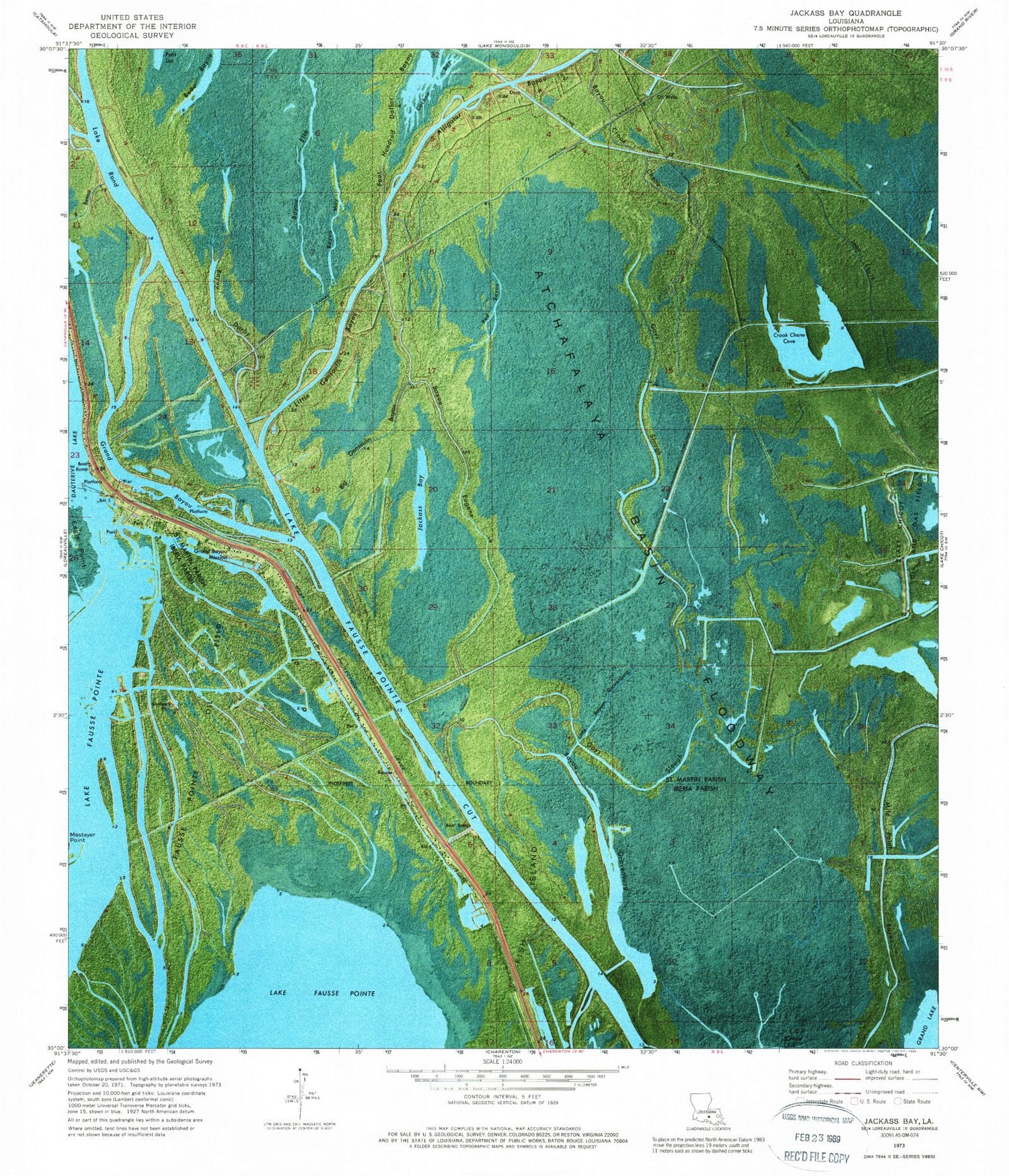
Classic USGS Jackass Bay Louisiana 7.5'x7.5' Topo Map
Couldn't load pickup availability
Historical USGS topographic quad map of Jackass Bay in the state of Louisiana. Map scale may vary for some years, but is generally around 1:24,000. Print size is approximately 24" x 27"
This quadrangle is in the following counties: Iberia, St. Martin.
The map contains contour lines, roads, rivers, towns, and lakes. Printed on high-quality waterproof paper with UV fade-resistant inks, and shipped rolled.
Contains the following named places: Alligator Bay, Alligator Bayou, Bayou Crook Chene, Bayou Darby, Bayou Ella, Bayou Eugene, Bayou Jean Louis, Bayou May, Big Gonsoulin Bayou, Crook Chene Cove, Fausse Pointe Oil Field, Fish Island Gas Field, Four Hundred Dollar Bayou, Gays Slough, Grand Bayou, Grand Bayou Mission, Jackass Bay, Lake Fausse Pointe Cut, Lake Rond, Little Bayou Gravenburg, Little Gonsoulin Bayou, Petit Lac, Red Bayou


