MyTopo
Classic USGS Jacket Missouri 7.5'x7.5' Topo Map
Couldn't load pickup availability
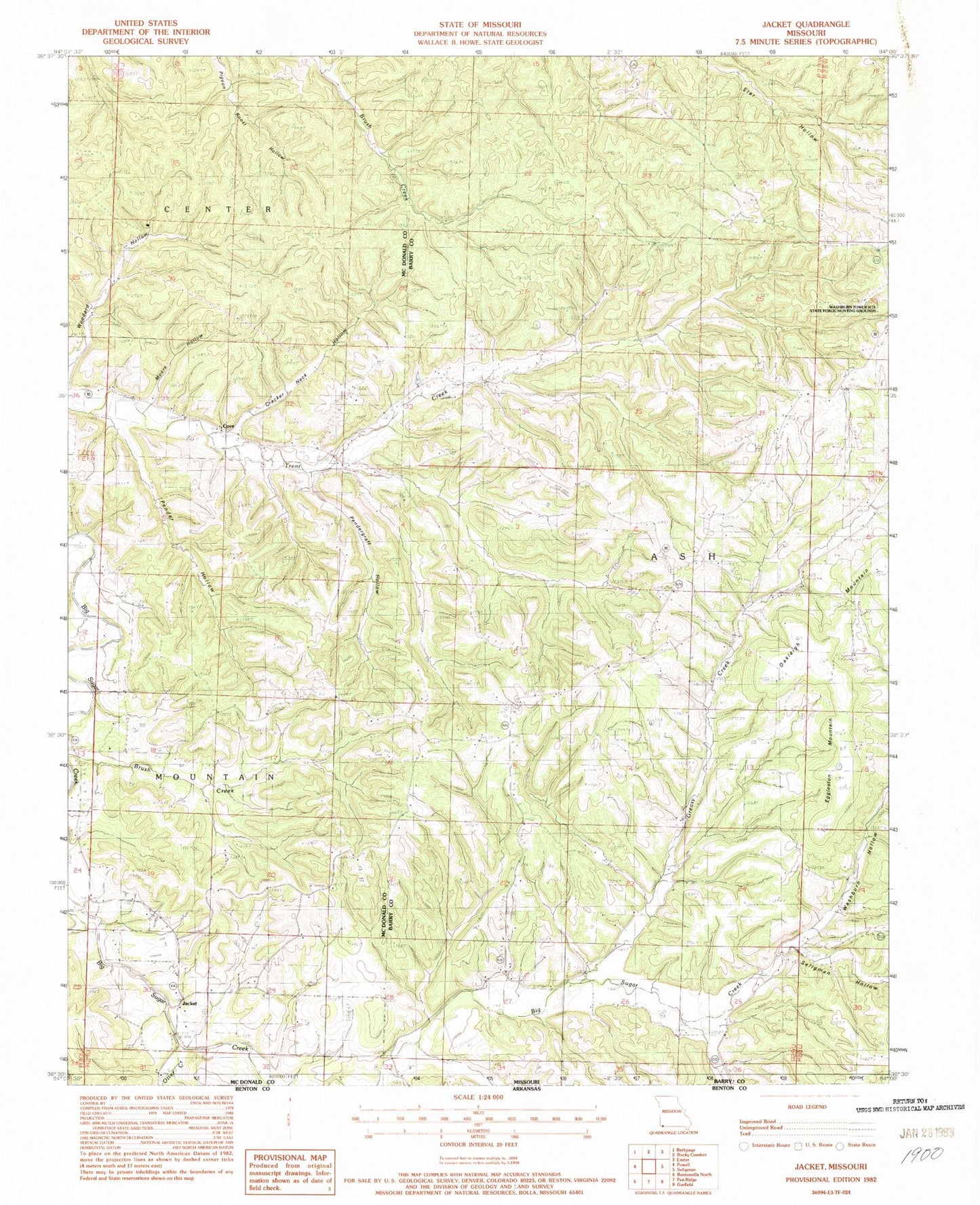
Historical USGS topographic quad map of Jacket in the state of Missouri. Map scale may vary for some years, but is generally around 1:24,000. Print size is approximately 24" x 27"
This quadrangle is in the following counties: Barry, McDonald.
The map contains contour lines, roads, rivers, towns, and lakes. Printed on high-quality waterproof paper with UV fade-resistant inks, and shipped rolled.
Contains the following named places: Antioch Church, Cormus Grove School, Cove, Cracker Neck Hollow, Eggleston Mountain, Flag Pond School, Greasy Creek, Jacket, Lone Walnut School, Maple Grove School, Mayflower, Moore Hollow, Mount Pleasant School, Oakleigh Mountain, OK School, Pender Hollow, Pendergraff Hollow, Seligman Hollow, Township of Ash, Trent Creek School, Washburn Hollow, Washburn Tower Site State Public Hunting Grounds, Washburn Volunteer Fire Department Station 2, White Oak Hollow, ZIP Code: 65772


