MyTopo
Classic USGS Jacko Bay Louisiana 7.5'x7.5' Topo Map
Regular price
$16.95
Regular price
Sale price
$16.95
Unit price
per
Couldn't load pickup availability
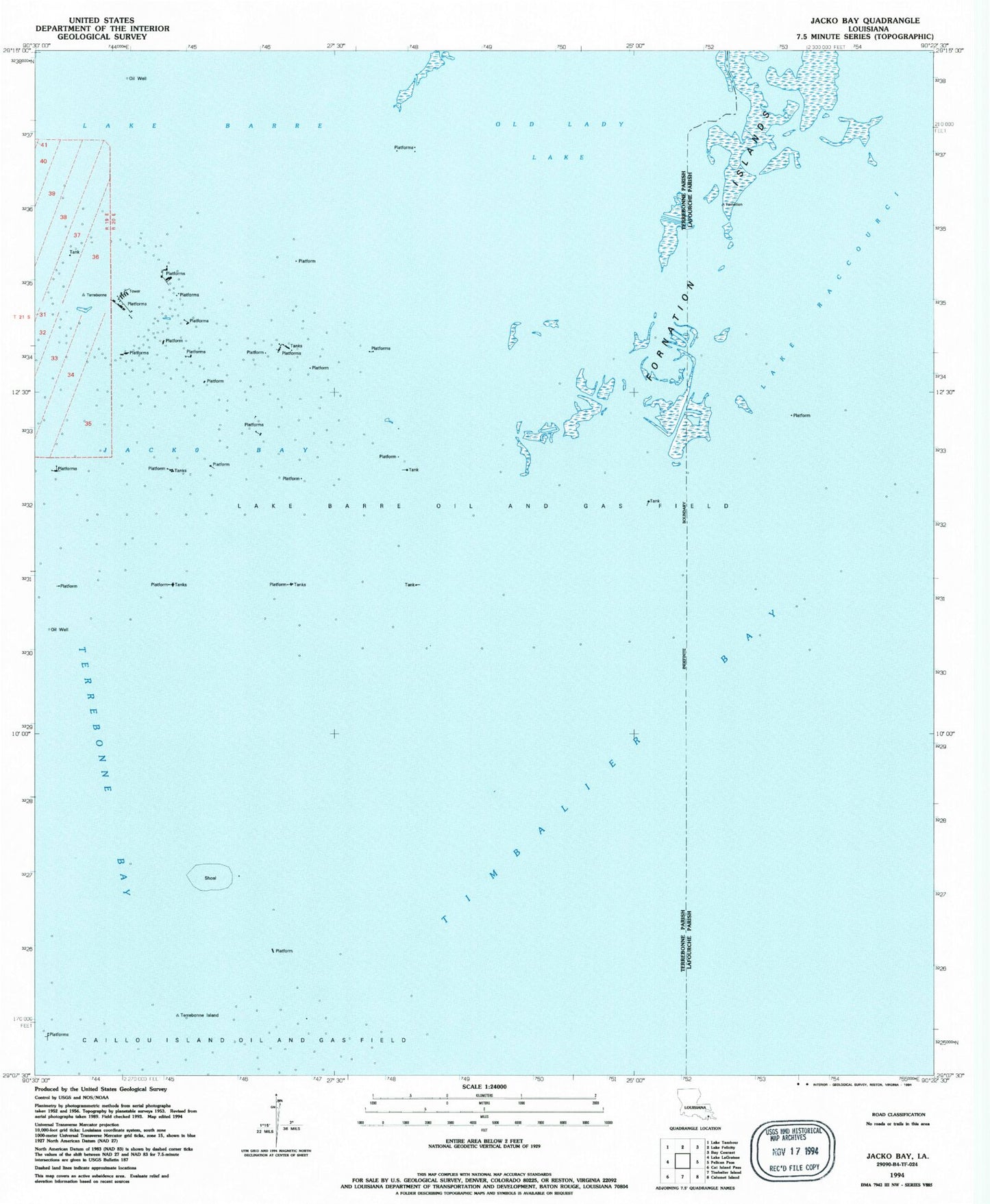
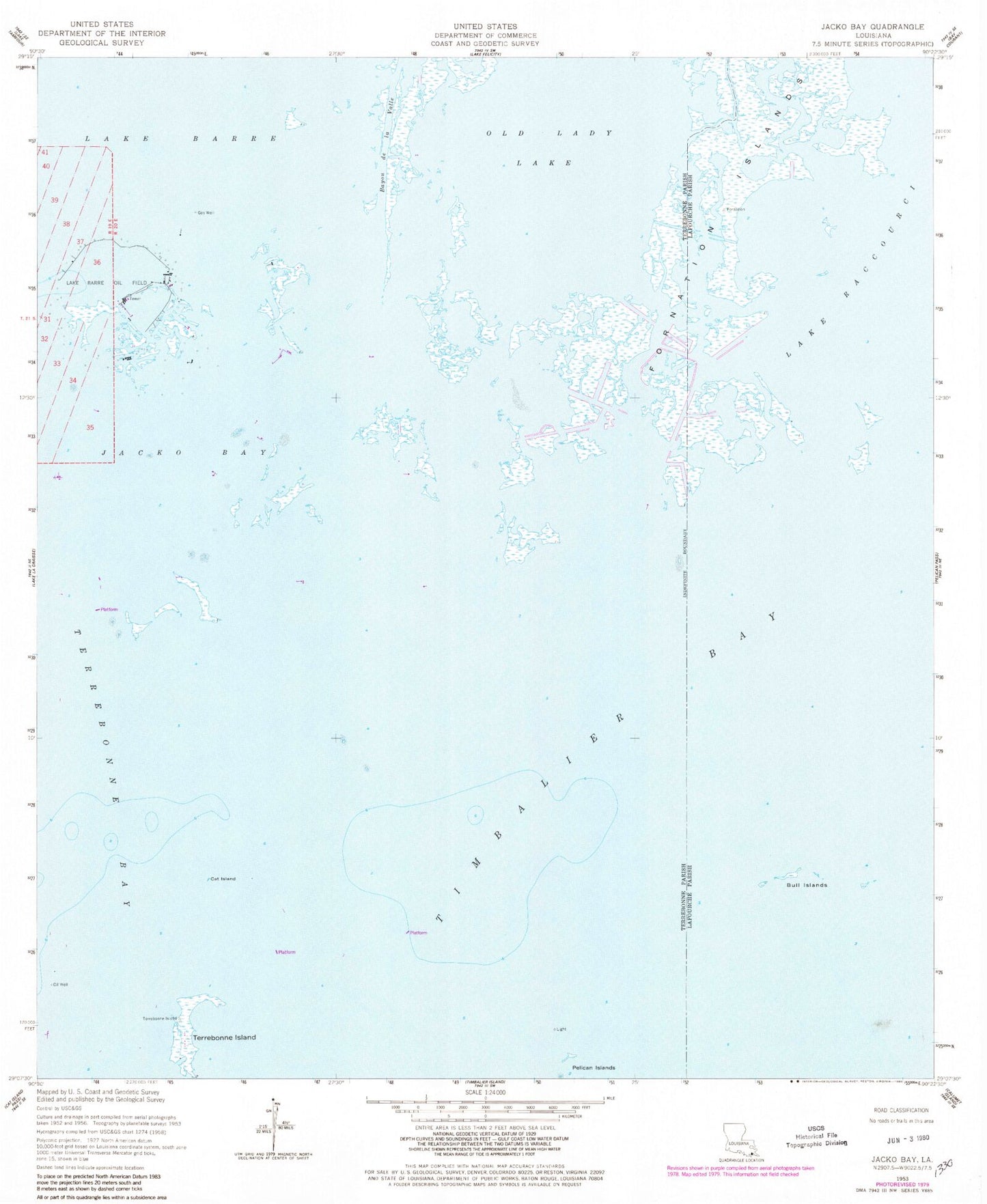
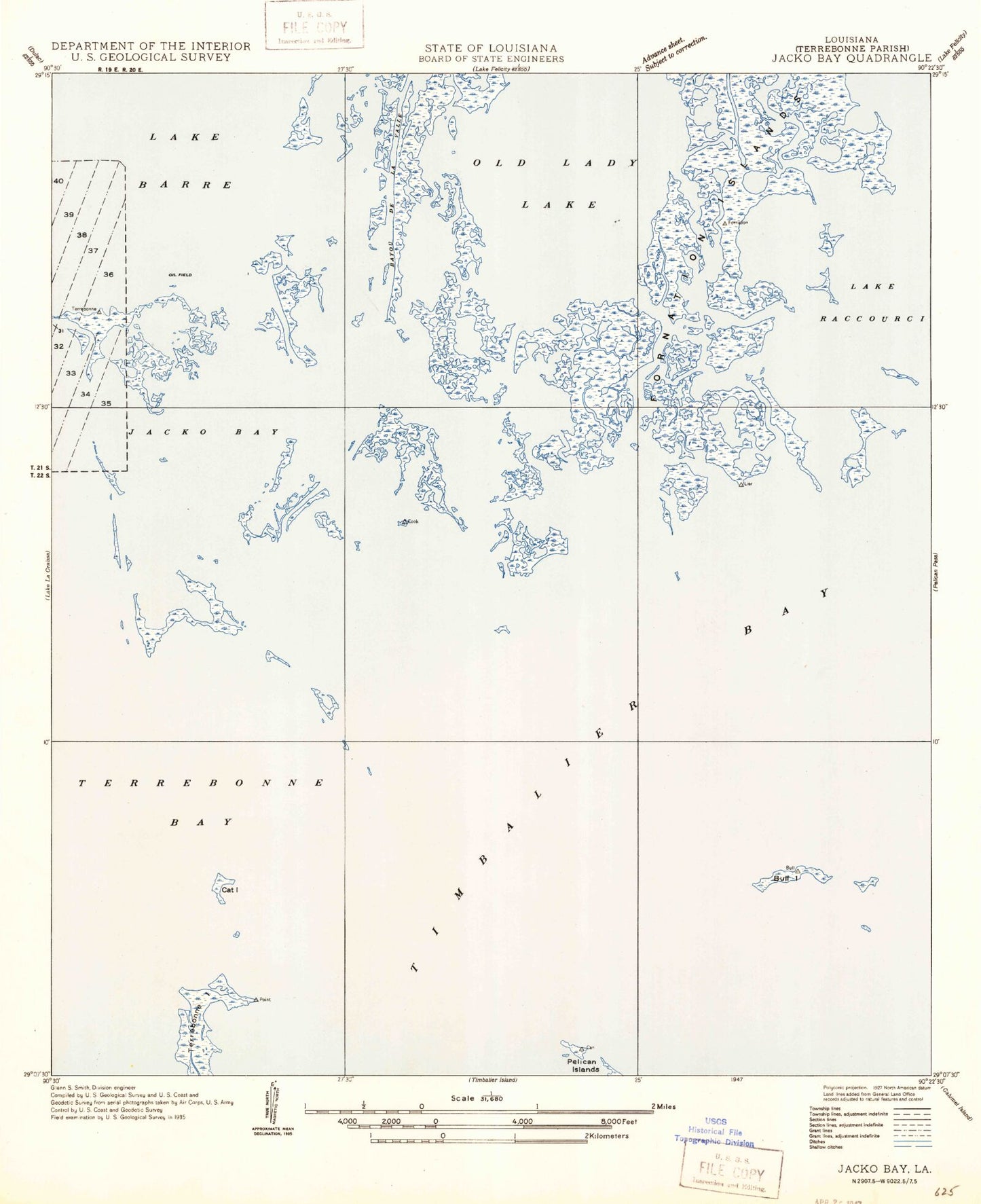
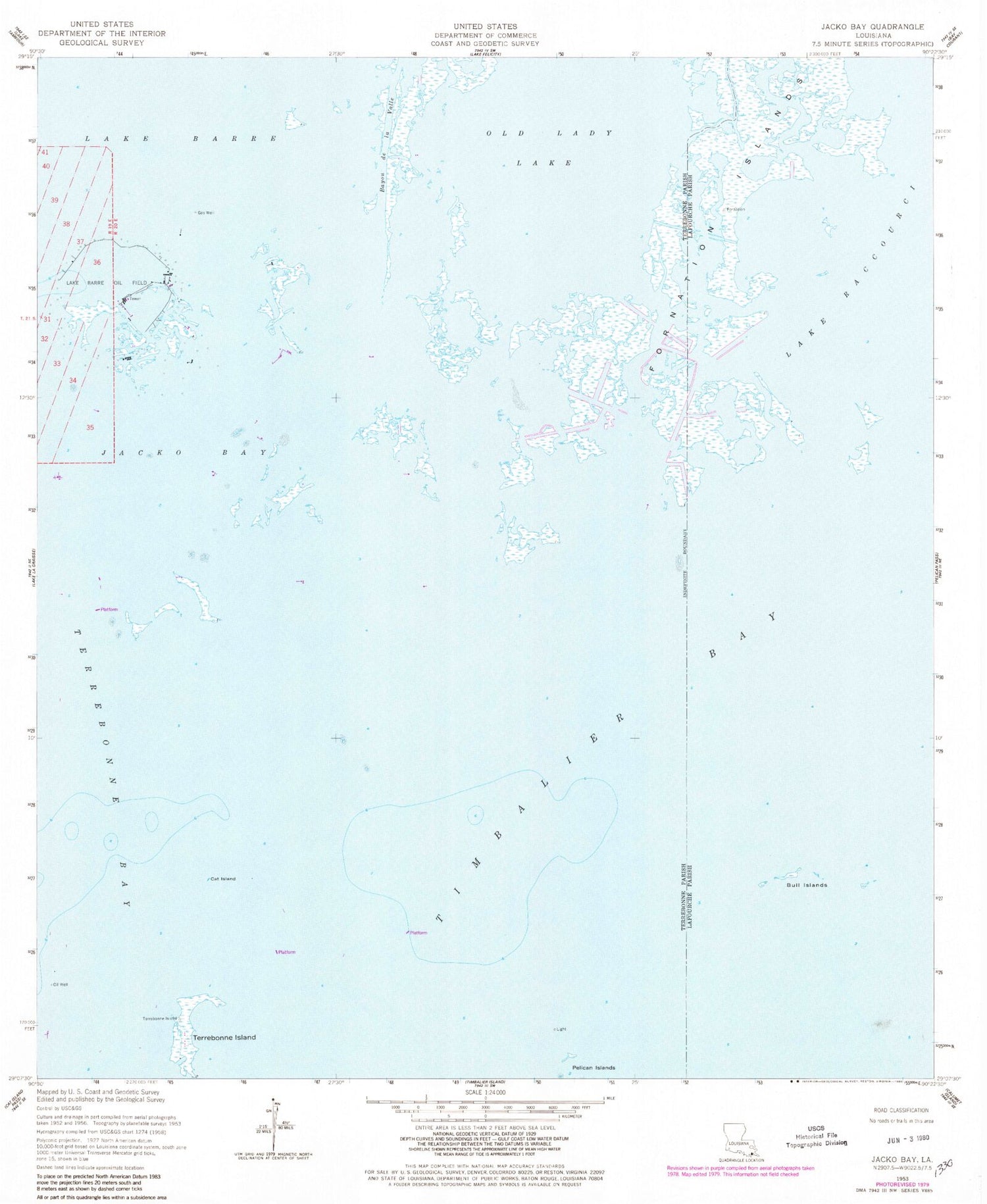
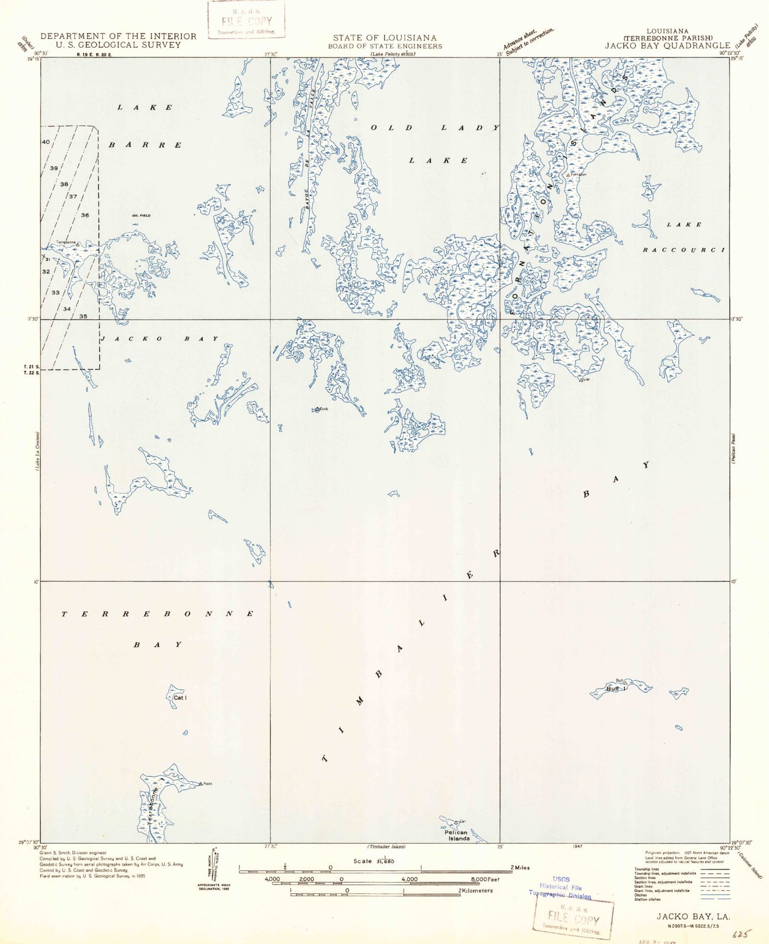
Historical USGS topographic quad map of Jacko Bay in the state of Louisiana. Map scale may vary for some years, but is generally around 1:24,000. Print size is approximately 24" x 27"
This quadrangle is in the following counties: Lafourche, Terrebonne.
The map contains contour lines, roads, rivers, towns, and lakes. Printed on high-quality waterproof paper with UV fade-resistant inks, and shipped rolled.
Contains the following named places: Bull Islands, Cat Island, Fornation Islands, Jacko Bay, Lake Barre Oil Field, Old Lady Lake, Terrebonne Island