MyTopo
Classic USGS Jacks Backbone California 7.5'x7.5' Topo Map
Couldn't load pickup availability
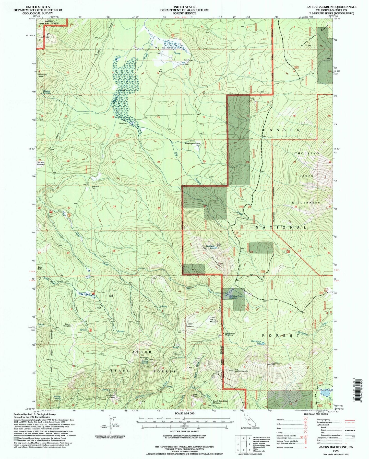
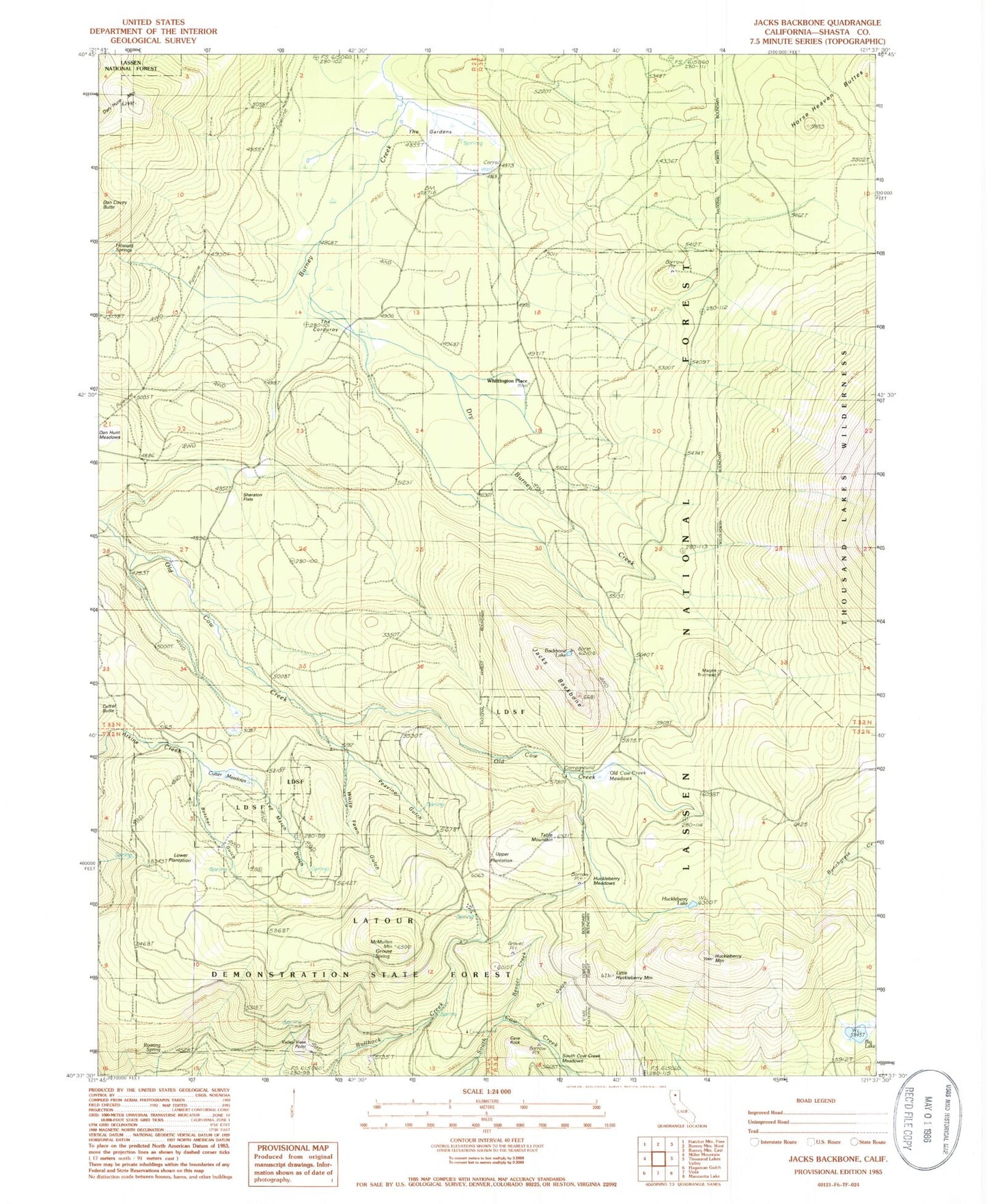
Historical USGS topographic quad map of Jacks Backbone in the state of California. Map scale may vary for some years, but is generally around 1:24,000. Print size is approximately 24" x 27"
This quadrangle is in the following counties: Shasta.
The map contains contour lines, roads, rivers, towns, and lakes. Printed on high-quality waterproof paper with UV fade-resistant inks, and shipped rolled.
Contains the following named places: Backbone Lake, Beaver Creek, Big Lake, Butcher Gulch, Butcher Gulch Campground, Cave Rock, Cutter Meadows, Cutter Place Campground, Dan Hunt Mountain, Dry Burney Creek, Dry Gulch, Flat Top, Grouse Spring, Horse Heaven Buttes, Howard Springs, Huckleberry Lake, Huckleberry Meadows, Huckleberry Mountain, Jacks Backbone, Latour Demonstration State Forest, Latour Fire Station, Latour Trail, Lee March Gulch, Little Huckleberry Mountain, Lower Plantation, Magee Trailhead, McMullen Mountain, Old Cow Creek Campground, Old Cow Creek Meadows, Peavine Gulch, Roaring Spring, Sheraton Flats, South Cow Creek Meadows, Sunset Loop, The Corduroy, The Gardens, Upper Plantation, Valley View Point, White Fawn Gulch, Whittington Place