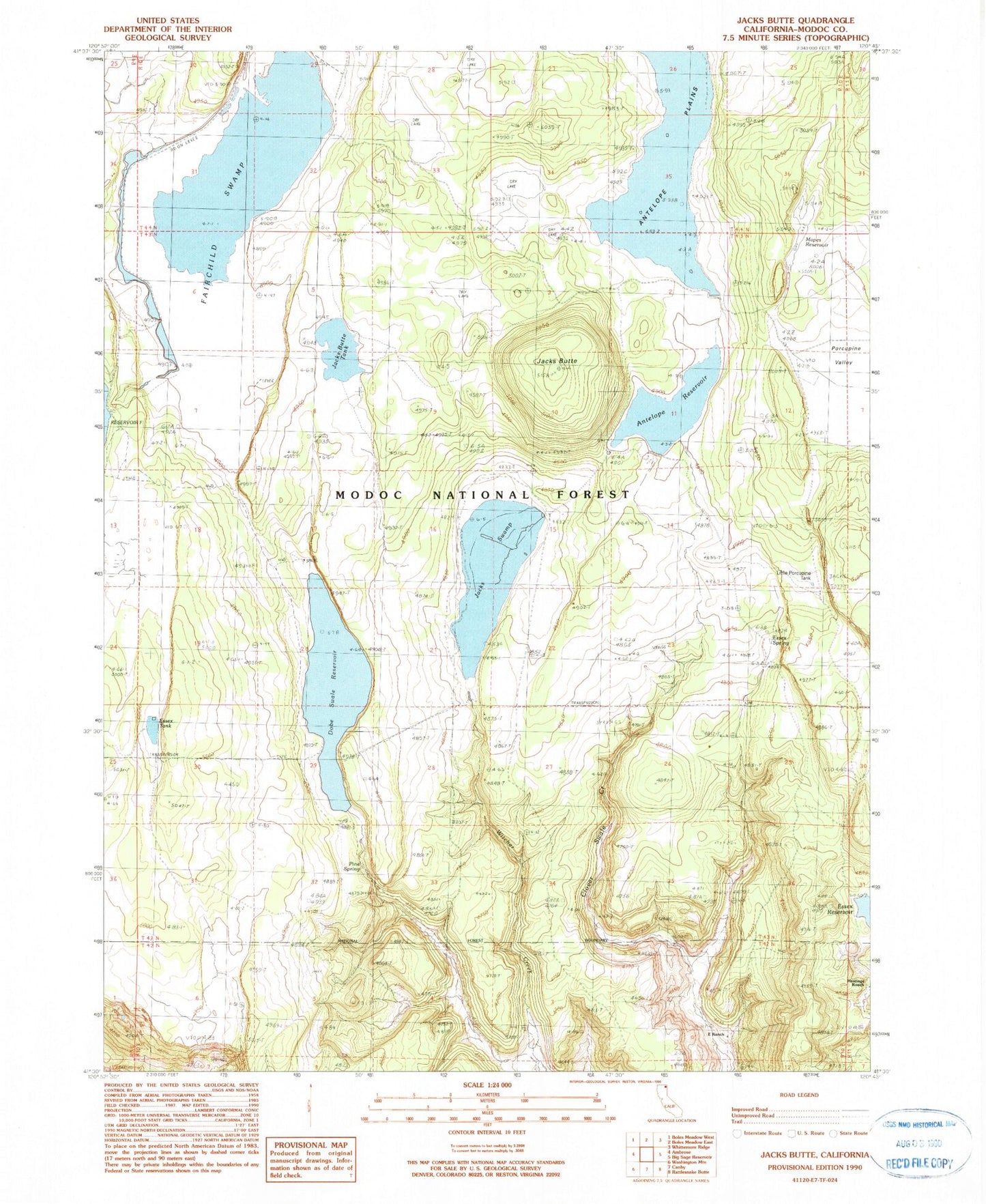
MyTopo
Classic USGS Jacks Butte California 7.5'x7.5' Topo Map
Couldn't load pickup availability
Historical USGS topographic quad map of Jacks Butte in the state of California. Map scale may vary for some years, but is generally around 1:24,000. Print size is approximately 24" x 27"
This quadrangle is in the following counties: Modoc.
The map contains contour lines, roads, rivers, towns, and lakes. Printed on high-quality waterproof paper with UV fade-resistant inks, and shipped rolled.
Contains the following named places: Antelope Reservoir, Cloverswale 112-003 Dam, Dobe Swale, E Ranch, Essex Reservoir, Essex Spring, Essex Tank, Fairchild Swamp, Hastings Ranch, Huffman Antelope 112-002 Dam, Jacks Butte, Jacks Butte Tank, Jacks Swamp, Little Porcupine Tank, Mapes Reservoir, Pine Spring, Porcupine Valley