MyTopo
Classic USGS Jacks Creek Tennessee 7.5'x7.5' Topo Map
Couldn't load pickup availability
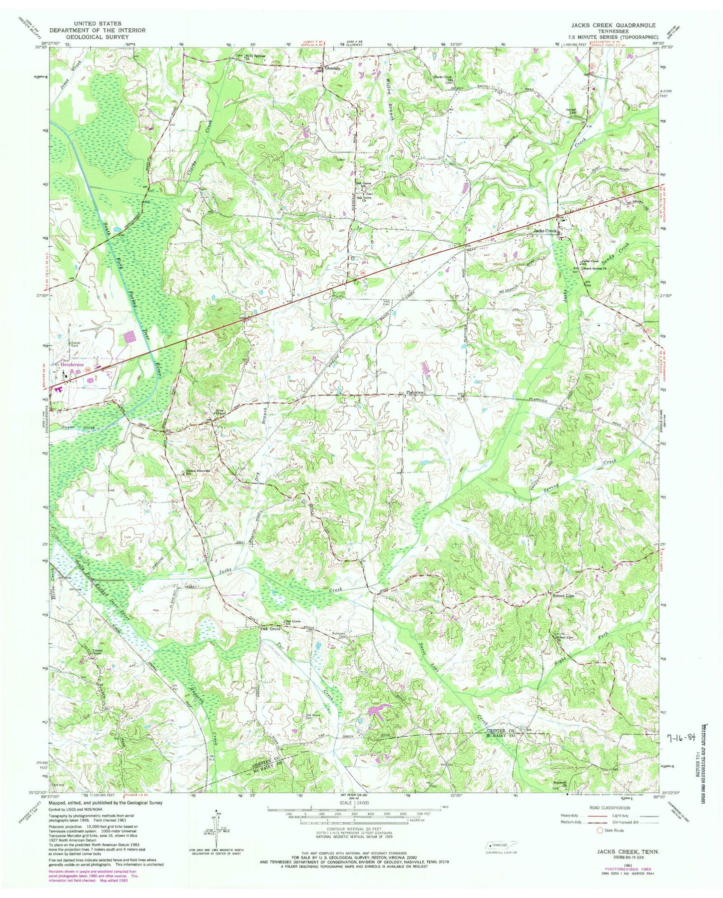
Historical USGS topographic quad map of Jacks Creek in the state of Tennessee. Map scale may vary for some years, but is generally around 1:24,000. Print size is approximately 24" x 27"
This quadrangle is in the following counties: Chester, McNairy.
The map contains contour lines, roads, rivers, towns, and lakes. Printed on high-quality waterproof paper with UV fade-resistant inks, and shipped rolled.
Contains the following named places: Beech Spring Church, Chester County, Chester County Fire Department / Jacks Creek Volunteer Fire Department Station 510, Chester County Fire Department / Sweet Lips Volunteer Fire Department Station 560, Chester County Junior High School, Chester County Nursing Home, Clarks Creek, Clarks Creek Cemetery, Clarks Creek Church, Commissioner District 5, Dixie Youth Park, Dry Branch, East Chester County Elementary School, East Chester Division, Gibson Rosewald School, Glendale School, Hamlet Cemetery, Hart Cemetery, Holly Springs Cemetery, Holly Springs Church, Hopewell Cemetery, Hopewell Church, Horse Creek, Huggins Creek, Jacks Creek, Jacks Creek Census Designated Place, Jacks Creek Elementary School, Jacks Creek Post Office, Jacks Creek School, Massengill Cemetery, Memorial Park, Morris Dam, Morris Lake, Oak Grove, Oak Grove Cemetery, Oak Grove Church, Oak Grove Cumberland Presbyterian Church, Oak Grove School, Plainview Church, Quinco Mental Health Center, Right Fork Sweet Lips Creek, Robinson Cemetery, Sand Hill School, Sandy Creek, Smith Cemetery, Spring Creek, Sugar Creek, Sweet Lips, Sweet Lips Church, Sweet Lips Creek, Sweet Lips School, Sweetlips Cemetery, Talleys Store, Tar Creek, Tillman Chapel, Trice Chapel


