MyTopo
Classic USGS Jacks Landing Michigan 7.5'x7.5' Topo Map
Couldn't load pickup availability
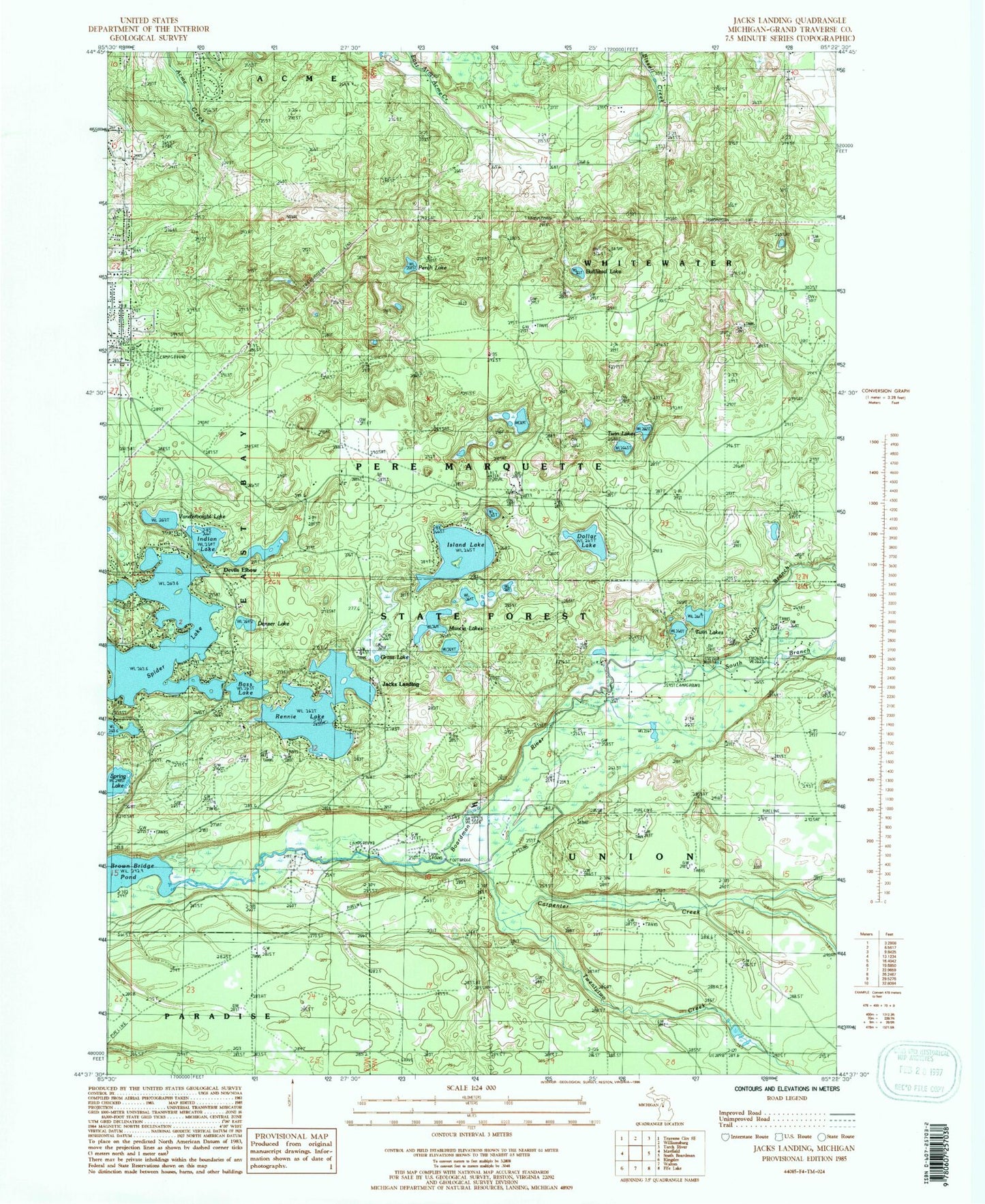
Historical USGS topographic quad map of Jacks Landing in the state of Michigan. Typical map scale is 1:24,000, but may vary for certain years, if available. Print size: 24" x 27"
This quadrangle is in the following counties: Grand Traverse.
The map contains contour lines, roads, rivers, towns, and lakes. Printed on high-quality waterproof paper with UV fade-resistant inks, and shipped rolled.
Contains the following named places: Bass Lake, Bullhead Lake, Camp Greilick, Carpenter Creek, Denzer Lake, Devils Elbow, Dollar Lake, Grass Lake, Indian Lake, Island Lake, Muncie Lake, North Branch Boardman River, Perch Lake, Rennie Lake, South Branch Boardman River, Spider Lake, Twentytwo Creek, Twin Lake, Twin Lakes, Vandervoight Lake, Jacks Landing, Township of Union, Scheck's Place State Forest Campground, Forks State Forest Campground, Forest Lakes Bible Church, Northrup Grave, Wild Cherry Bay, Timber Ridge Campground, Burr Island Park


