MyTopo
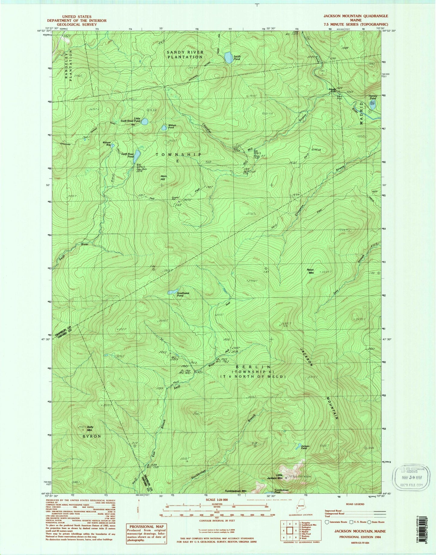
Classic USGS Jackson Mountain Maine 7.5'x7.5' Topo Map
Couldn't load pickup availability
Historical USGS topographic quad map of Jackson Mountain in the state of Maine. Typical map scale is 1:24,000, but may vary for certain years, if available. Print size: 24" x 27"
This quadrangle is in the following counties: Franklin, Oxford.
The map contains contour lines, roads, rivers, towns, and lakes. Printed on high-quality waterproof paper with UV fade-resistant inks, and shipped rolled.
Contains the following named places: Chandler Mill Stream, Dolly Mountain, Harvey Pond, Horn Hill, Jackson Mountain, Jackson Pond, Little Jackson Mountain, Little Swift River Pond, Noon Mountain, Smalls Falls, South Pond, Southwest Pond, Swift River Pond, Tumbledown Mountain, Witham Bog, Witham Pond, Blue Mountains, Unorganized Territory of West Central Franklin, Township E, Township 6 North of Weld