MyTopo
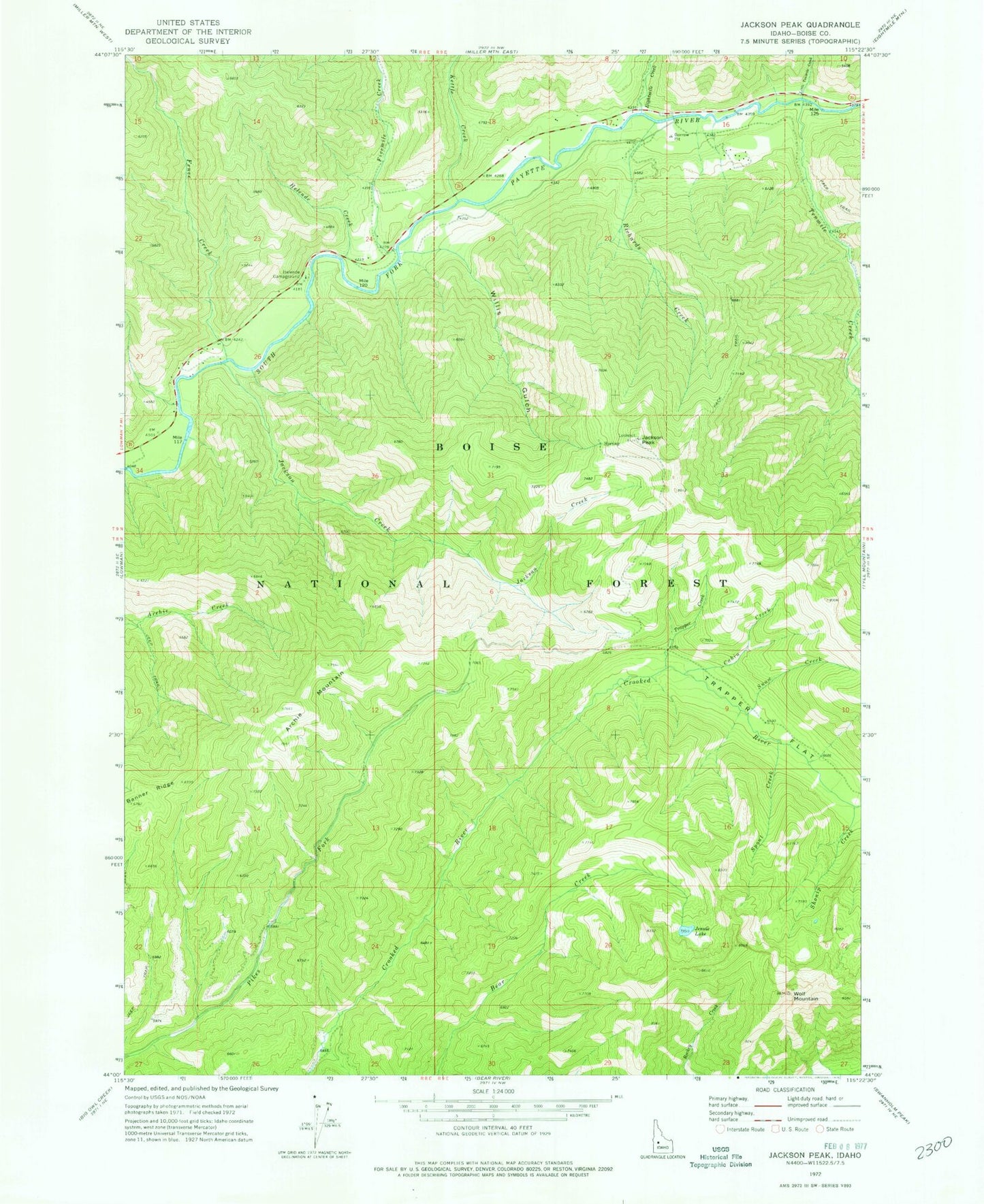
Classic USGS Jackson Peak Idaho 7.5'x7.5' Topo Map
Couldn't load pickup availability
Historical USGS topographic quad map of Jackson Peak in the state of Idaho. Map scale may vary for some years, but is generally around 1:24,000. Print size is approximately 24" x 27"
This quadrangle is in the following counties: Boise.
The map contains contour lines, roads, rivers, towns, and lakes. Printed on high-quality waterproof paper with UV fade-resistant inks, and shipped rolled.
Contains the following named places: Archie Mountain, Cabin Creek, Eightmile Creek, Fence Creek, Fivemile Creek, Helende Campground, Helende Creek, Jackson Creek, Jackson Peak, Jennie Lake, Kettle Creek, Little Tenmile Creek, Lowman Volunteer Fire Department Station 2, Richards Creek, Shonip Creek, Snow Creek, Spout Creek, Tenmile Creek, Trappers Creek, Trappers Flat, Willis Gulch, Wolf Mountain