MyTopo
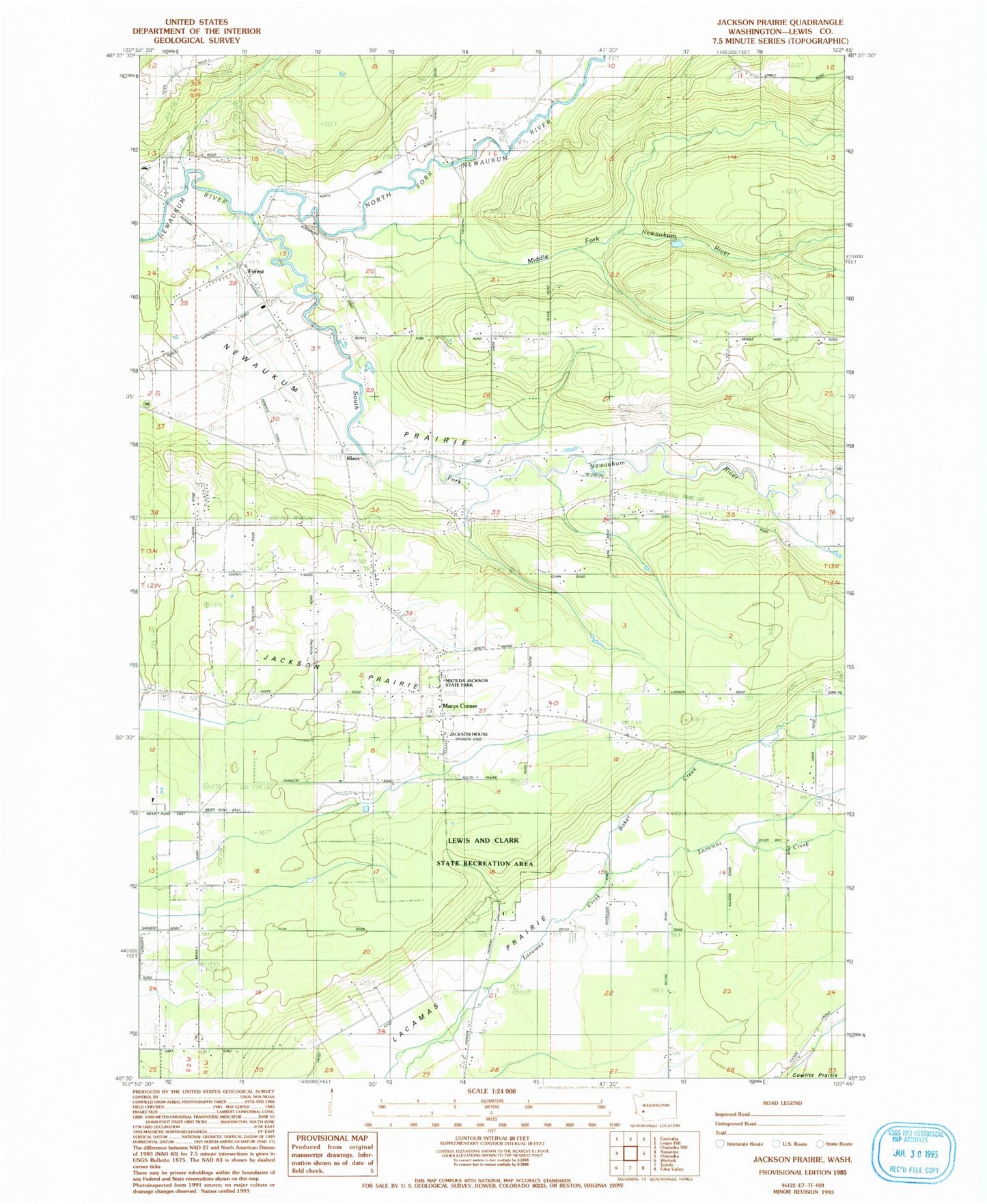
Classic USGS Jackson Prairie Washington 7.5'x7.5' Topo Map
Couldn't load pickup availability
Historical USGS topographic quad map of Jackson Prairie in the state of Washington. Map scale may vary for some years, but is generally around 1:24,000. Print size is approximately 24" x 27"
This quadrangle is in the following counties: Lewis.
The map contains contour lines, roads, rivers, towns, and lakes. Printed on high-quality waterproof paper with UV fade-resistant inks, and shipped rolled.
Contains the following named places: Baker Creek, Dwight Field, Fantasy Field Airstrip, Forest, Foster Heliport, Guerrier, Harris Airport, Jackson Court House State Park, Jackson House, Jackson Prairie, Klaus, Lewis and Clark State Park, Lewis County Fire District 5 Station 2, Lewis County Fire District 5 Station 3, Marys Corner, Matilda Jackson State Park, Middle Fork Newaukum River, Mount Saint Helens Visitors Center, North Fork Newaukum River, South Fork Newaukum River, ZIP Code: 98542