MyTopo
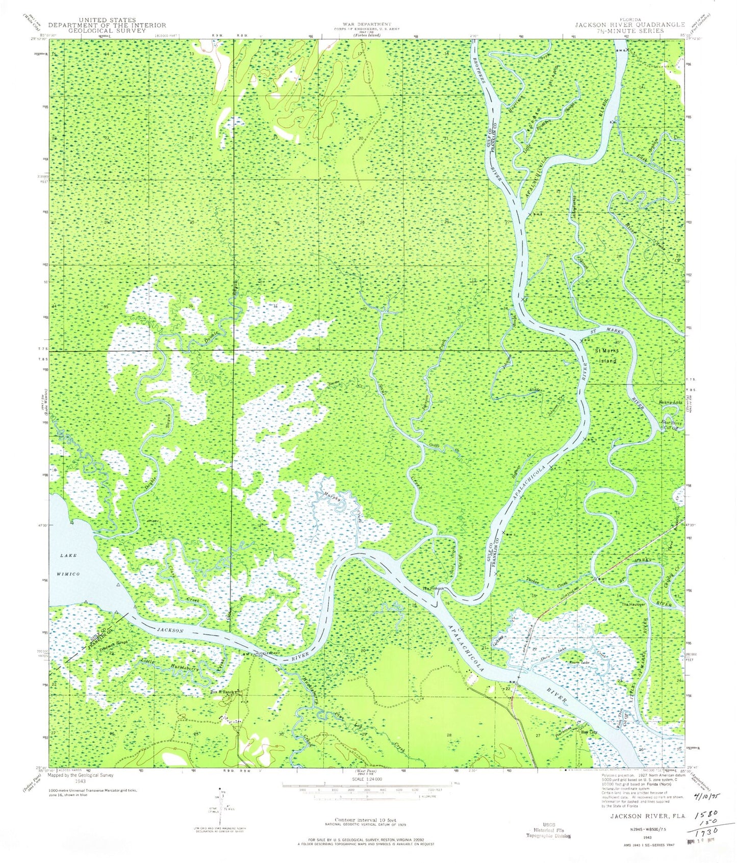
Classic USGS Jackson River Florida 7.5'x7.5' Topo Map
Couldn't load pickup availability
Historical USGS topographic quad map of Jackson River in the state of Florida. Typical map scale is 1:24,000, but may vary for certain years, if available. Print size: 24" x 27"
This quadrangle is in the following counties: Franklin, Gulf.
The map contains contour lines, roads, rivers, towns, and lakes. Printed on high-quality waterproof paper with UV fade-resistant inks, and shipped rolled.
Contains the following named places: Acorn Lake, Acorn Lake Creek, Box R Ranch, Brown Creek, Cedar Creek, Chipley Creek, Clark Creek, Deadman Slough, Double Bayou, Fanny Lake, Four Tree Cut Off, Graham Creek, Grassy Creek, Hidden Johnson Creek, Hoffman Creek, Humphreys Slough, Jackson River, Johnson Creek, Johnson Slough, Little Brothers Slough, Little Huckleberry Creek, Ingram Creek, Pine Log Creek, Poorhouse Creek, Saint Marks Island, Saul Creek, Saul Creek Cut Off, The Haulover, The Pinhook, Three Brothers Creek, Tucker Creek, Achackwaithle (historical), Bay City, Huckleberry Landing, Huckleberry Creek, Catfish Slough, Old Womans Bluff, Apalachicola Railroad Station, Little Double Creek, Brothers River, Harrison Creek, Indian Swamp, Acorn Lake, Acorn Lake Creek, Box R Ranch, Brown Creek, Cedar Creek, Chipley Creek, Clark Creek, Deadman Slough, Double Bayou, Fanny Lake, Four Tree Cut Off, Graham Creek, Grassy Creek, Hidden Johnson Creek, Hoffman Creek, Humphreys Slough, Jackson River, Johnson Creek, Johnson Slough, Little Brothers Slough, Little Huckleberry Creek, Ingram Creek, Pine Log Creek, Poorhouse Creek, Saint Marks Island, Saul Creek, Saul Creek Cut Off, The Haulover, The Pinhook, Three Brothers Creek, Tucker Creek, Achackwaithle (historical), Bay City, Huckleberry Landing, Huckleberry Creek, Catfish Slough, Old Womans Bluff, Apalachicola Railroad Station, Little Double Creek, Brothers River, Harrison Creek, Indian Swamp


