MyTopo
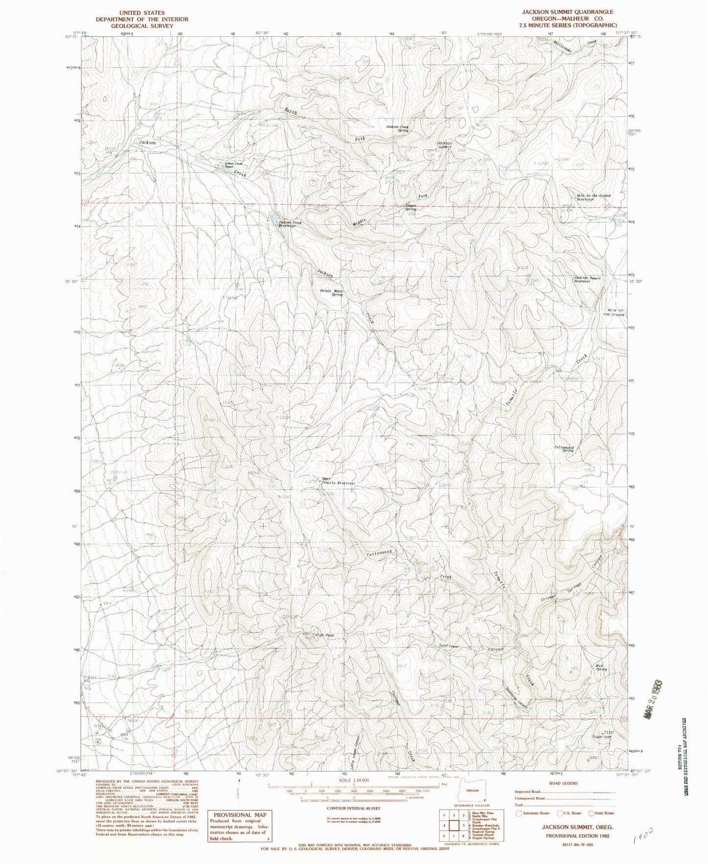
Classic USGS Jackson Summit Oregon 7.5'x7.5' Topo Map
Couldn't load pickup availability
Historical USGS topographic quad map of Jackson Summit in the state of Oregon. Map scale may vary for some years, but is generally around 1:24,000. Print size is approximately 24" x 27"
This quadrangle is in the following counties: Malheur.
The map contains contour lines, roads, rivers, towns, and lakes. Printed on high-quality waterproof paper with UV fade-resistant inks, and shipped rolled.
Contains the following named places: Chicken Springs Canyon, Cottonwood Creek, Cottonwood Spring, Deadhorse Canyon, Echave Dam, High Peak, Hole-in-the-Ground Reservoir, Jackson Creek Ranch, Jackson Creek Reservoir, Jackson Creek Spring, Jackson Summit, Jackson Summit Reservoir, Jasper Spring, Middle Fork Jackson Creek, Mud Spring, North Fork Jackson Creek, Potato Water Spring, Sugarloaf, Sunflower Canyon, Upper Tenmile Reservoir