MyTopo
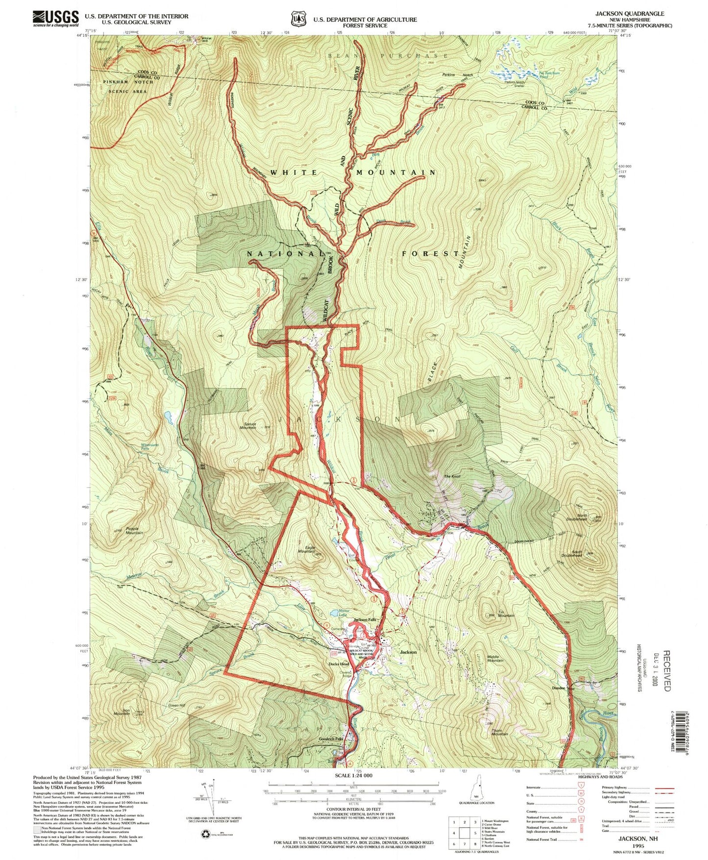
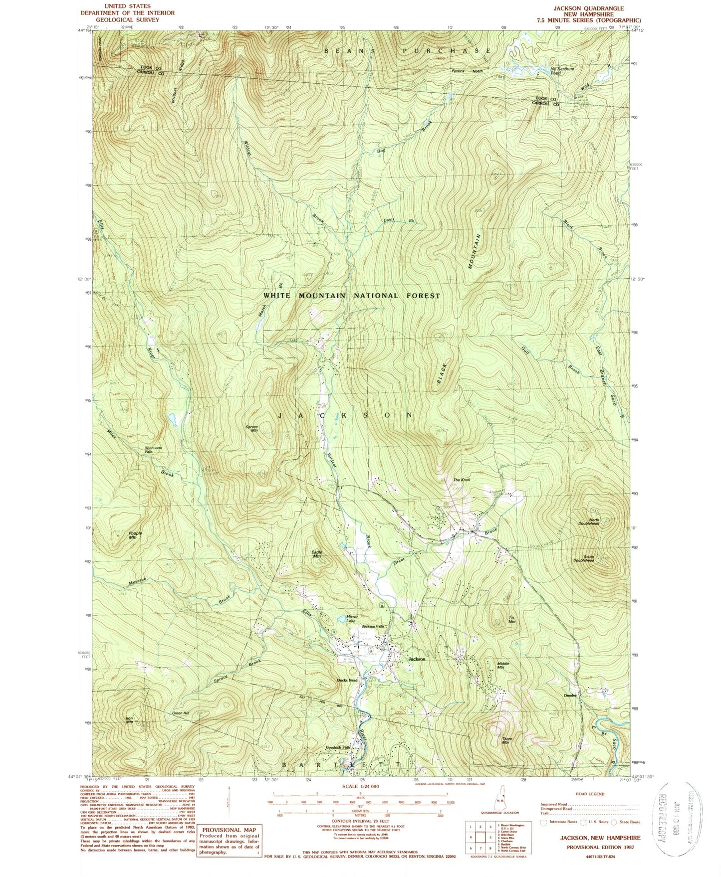
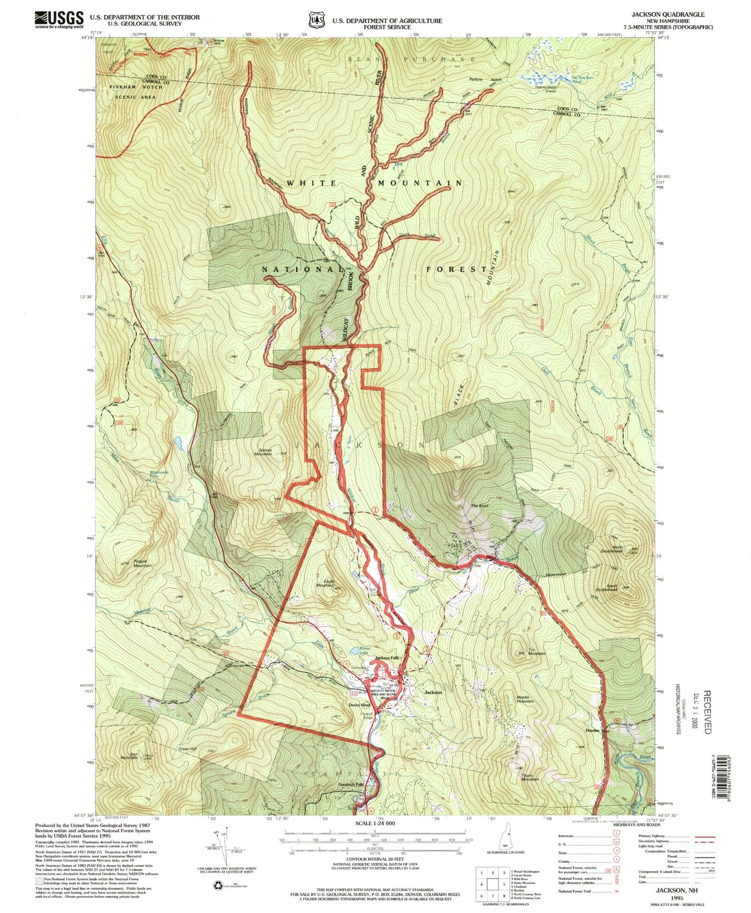
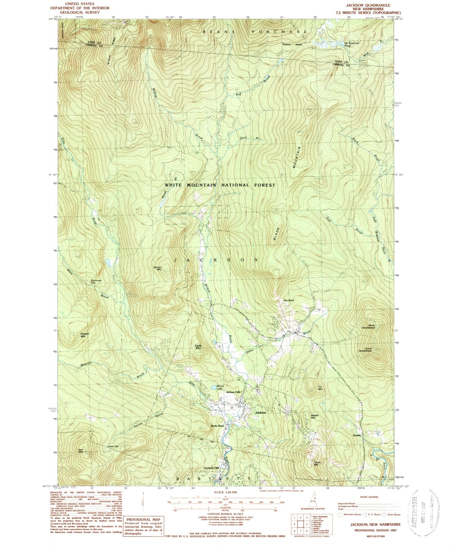
Classic USGS Jackson New Hampshire 7.5'x7.5' Topo Map
Couldn't load pickup availability
Historical USGS topographic quad map of Jackson in the state of New Hampshire. Typical map scale is 1:24,000, but may vary for certain years, if available. Print size: 24" x 27"
This quadrangle is in the following counties: Carroll, Coos.
The map contains contour lines, roads, rivers, towns, and lakes. Printed on high-quality waterproof paper with UV fade-resistant inks, and shipped rolled.
Contains the following named places: Green Hill, Bald Land Trail, Black Brook, Black Mountain, Black Mountain Cabin, Bog Brook, Bog Brook Trail, Camp Trail, Carter Notch Trail, Davis Brook, Davis Memorial Tower, Ducks Head, Dundee, Eagle Mountain, East Pasture Trail, Goodrich Falls, Great Brook, Gulf Brook, Iron Mountain, Jackson, Jackson Falls, Langlaup Trail, Marsh Brook, Meserve Brook, Middle Mountain, Miles Brook, Mirror Lake, No Ketchum Pond, North Doublehead, Panno Place, Perkins Notch, Popple Mountain, South Doublehead, Spruce Brook, Spruce Mountain, The Knoll, Thorn Mountain, Tin Mountain, Wildcat Brook, Wildcat Cutoff, Wildcat Ridge, Winniweta Falls, East Branch Trail, Tyrol Winter Sports Area, New Path Trail, WMNF Shelter, Than Brook, Old Path Trail, Doublehead Ski Trail, Black Mountain Trainways Winter Sports Area, Town of Jackson, Glen Ellis Dam, Ellis River Reservoir, Black Mountain Ski Area, Eagle Mountain Golf Course, Honeymoon Bridge, Jackson Community Church, Jackson Grammar School, Jackson Post Office, Jackson Ski Touring Area, Mount Washington Valley Ski Touring Center, Nestlenook Farm on the River Ski Area, Wentworth Golf Club, Jackson Fire Department, Jackson Police Department, Wildcat Wild and Scenic River


