MyTopo
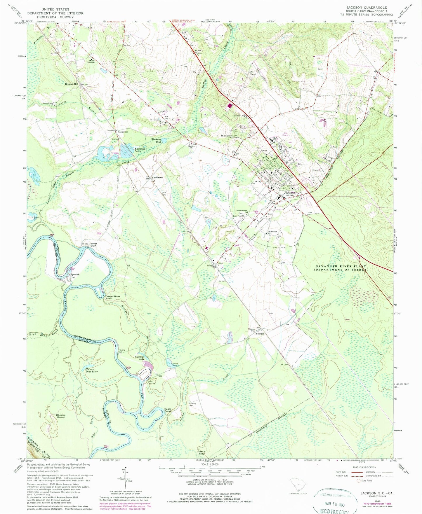
Classic USGS Jackson South Carolina 7.5'x7.5' Topo Map
Couldn't load pickup availability
Historical USGS topographic quad map of Jackson in the states of South Carolina, Georgia. Map scale may vary for some years, but is generally around 1:24,000. Print size is approximately 24" x 27"
This quadrangle is in the following counties: Aiken, Burke, Richmond.
The map contains contour lines, roads, rivers, towns, and lakes. Printed on high-quality waterproof paper with UV fade-resistant inks, and shipped rolled.
Contains the following named places: Assembly of the Lord Church, Bean Pond Church, Bear Island Creek, Berryhill Gut, Browns Hill, Bush, Coleman Lake, Cowden, E Reservoir, Eagle Point, Grays Landing, Hankinson, Hankinson School, High Bank Creek, High Water Drain, Hollow Creek, Holmes Dead River, House Lake, Jackson, Jackson Cemetery, Jackson Elementary School, Jackson Fire Department District 9, Jackson First Alert Rescue Squad, Jackson Middle School, Jackson Police Department, Jackson Post Office, John Harley Park, Kathwood, Kathwood Church, Kathwood Lakes, Kathwood School, Little Brierpatch Lake, Lower Silver Bluff, Matlock Baptist Church, McKinneys Mill, Minors Bridge, Mount Moriah Church, Mount Pleasant Church, Mount Zion Baptist Church, Musterfield Branch, Possum Eddy, Rhodes Mound, Saint Catherines Church, Silver Bluff, Silver Bluff Plantation, South Carolina Noname 02133 D-2002 Dam, Spanish Cut, Susan Union Church, Thomas Grove Church, Thomas Grove School, Town Creek, Town of Jackson, Wasteway Pond, Wesley Chapel, ZIP Code: 29831