MyTopo
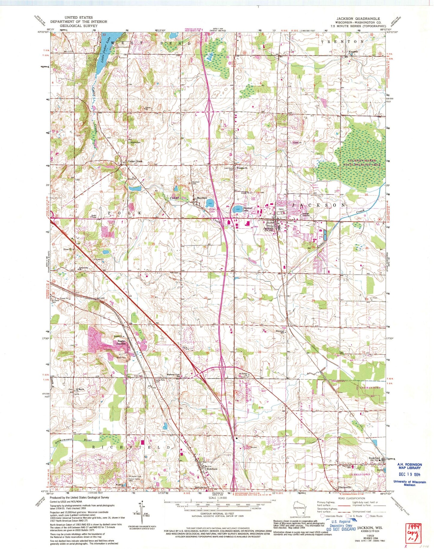
Classic USGS Jackson Wisconsin 7.5'x7.5' Topo Map
Couldn't load pickup availability
Historical USGS topographic quad map of Jackson in the state of Wisconsin. Map scale may vary for some years, but is generally around 1:24,000. Print size is approximately 24" x 27"
This quadrangle is in the following counties: Washington.
The map contains contour lines, roads, rivers, towns, and lakes. Printed on high-quality waterproof paper with UV fade-resistant inks, and shipped rolled.
Contains the following named places: Ackerville Cemetery, Ackerville Church, Arrowhead Springs Airport, Cedar Creek, Cedar Creek Cemetary, Cedar Creek Farm, Cedar Park Cemetery, Christus Kirche, Coney River, Dheinsville, Dheinsville Historic Park, Elmwood School, Erler Cemetery, Forest Home Cemetery, Friedens Church, Hasmer Lake, Heckendorf Farm, Highway View School, Hoeferts Farms, Jackson, Jackson Elementary School, Jackson Fire Department, Jackson Police Department, Jackson Post Office, Jackson Wastewater Treatment Plant, Keowns, Keowns Pond, Kettle Moraine Lutheran High School, Kison Farm, Kissinger Farms, Last Home Cemetery, Lehner Lake, Lent Lake, Living Word Lutheran High School, Maple Woods Farm, Mayfield, Mayfield Cemetery, Melius Farms, Merten Farms, Morning Star Evangelical Lutheran Church, Morning Star Lutheran School, Quas Lake, Richfield, Richfield Elementary School, Richfield Post Office, Richfield Volunteer Fire Company Station 1, Rockfield, Rockfield Elementary School, Rockfield Quarry Pond, Rugby Junction, Rugby Pit, Saint Jacobi Cemetery, Saint Jacobi Church, Saint Joseph's Hospital, Saint Marys Church, Saint Peters Church, Schwietzer Pond, Tilly Lake, Town of Germantown, Town of Polk, Village of Jackson, Washington County, WBKV-AM (West Bend), WYLO-AM (Jackson), ZIP Codes: 53037, 53076


