MyTopo
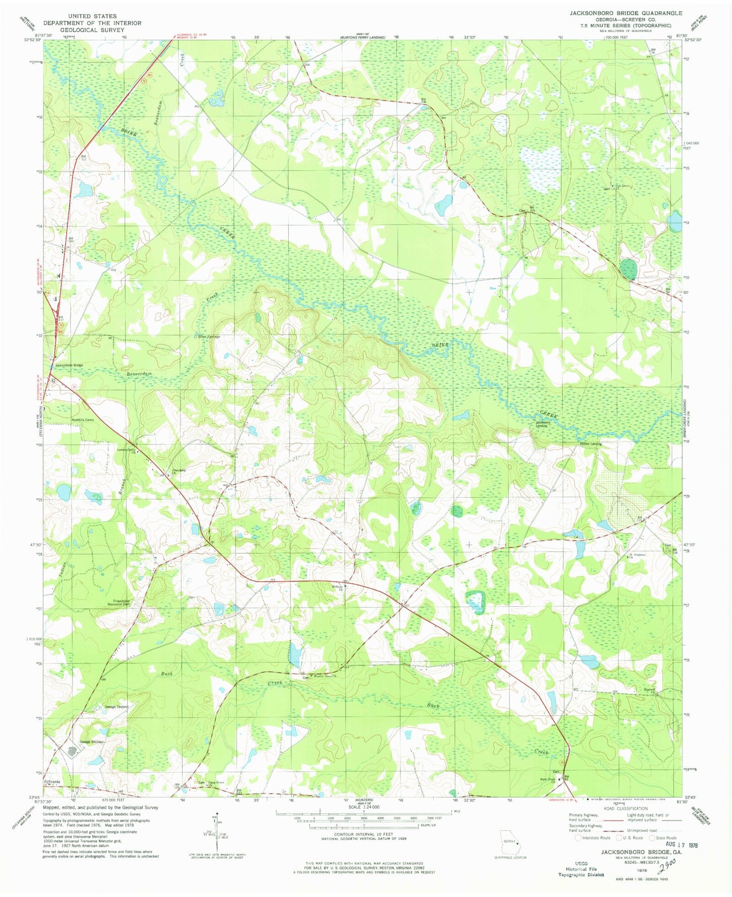
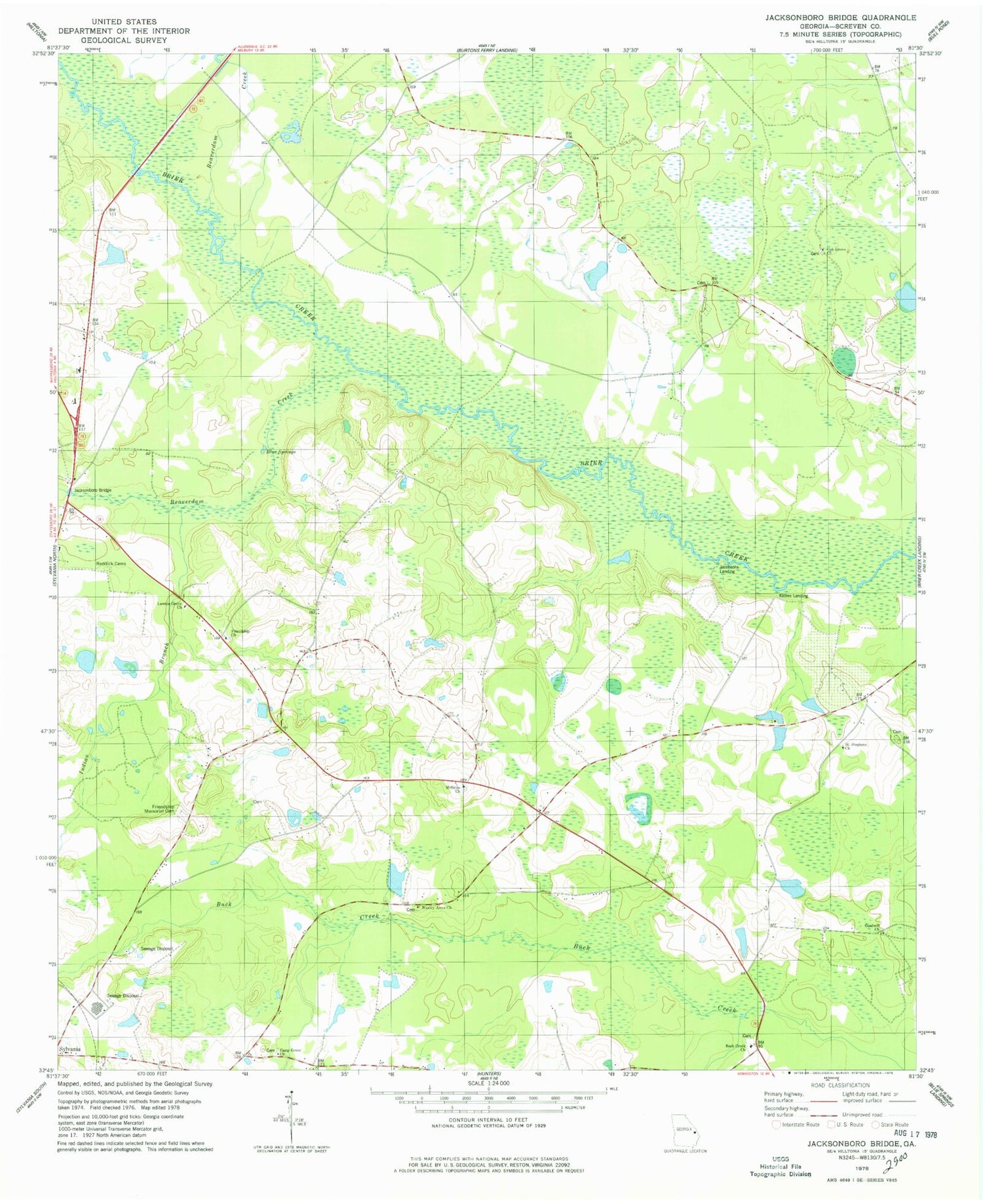
Classic USGS Jacksonboro Bridge Georgia 7.5'x7.5' Topo Map
Couldn't load pickup availability
Historical USGS topographic quad map of Jacksonboro Bridge in the state of Georgia. Map scale may vary for some years, but is generally around 1:24,000. Print size is approximately 24" x 27"
This quadrangle is in the following counties: Screven.
The map contains contour lines, roads, rivers, towns, and lakes. Printed on high-quality waterproof paper with UV fade-resistant inks, and shipped rolled.
Contains the following named places: Beaverdam Creek, Blue Springs, Boddiford Pond, Boddiford Pond Dam, Bryans Bridge, Buck Creek Cemetery, Buck Creek Church, Camp Grove Church, Community Christian School, Dixon Pond, Dixon Pond Dam, Elmwood School, Friendship Church, Friendship Memorial Cemetery, Goodwill Church, Indian Branch, Jacksonboro, Jacksonboro Bridge, Jacksonboro Monument, Jacobsons Landing, Kittles Landing, Lariscy Lake, Lariscy Lake Dam, Lawton Grove Church, McBride United Methodist Church, McBridge Church, New Bridge, Oak Grove Cemetery, Oak Grove Church, Reddick Cemetery, Resource, Saint Peter African Methodist Episcopal Church, Saint Stephens Church, Screven County, Screven County Middle School, South Prong Buck Creek, Sylvania Water Pollution Control Plant, Wesley Anna Church, ZIP Code: 30467


