MyTopo
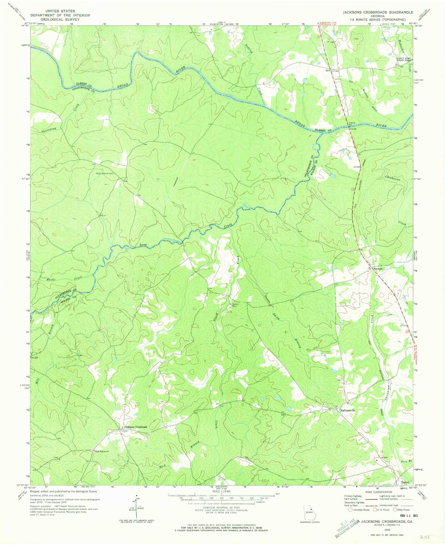
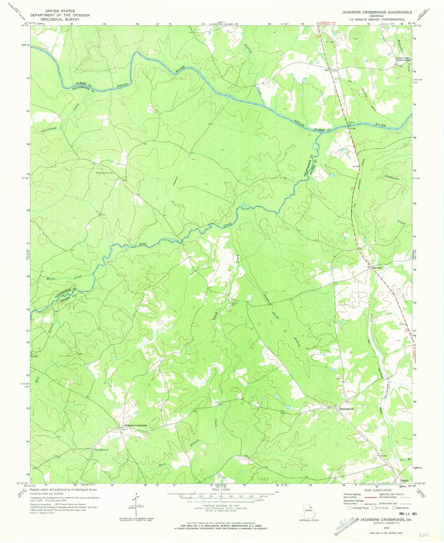
Classic USGS Jacksons Crossroads Georgia 7.5'x7.5' Topo Map
Couldn't load pickup availability
Historical USGS topographic quad map of Jacksons Crossroads in the state of Georgia. Map scale may vary for some years, but is generally around 1:24,000. Print size is approximately 24" x 27"
This quadrangle is in the following counties: Elbert, Oglethorpe, Wilkes.
The map contains contour lines, roads, rivers, towns, and lakes. Printed on high-quality waterproof paper with UV fade-resistant inks, and shipped rolled.
Contains the following named places: Beck Branch, Bell, Bells Bridge, Bullards Ferry, Bunchs Mill, Chatfield, Clark Creek, Clark Station Church, Clarks Station Cemetery, Clifford Grove Church, Falling Creek, Goose Pond, Goosepond Creek, Gunnells Bridge, Hills Chapel, Hoggs High School, Jackson Cross Roads Fire Department, Jacksons Crossroads, Kennedys Gate, Long Creek, Macks Creek, Mallorysville, Mallorysville Cemetery, Mallorysville Church, Mill Branch, New Ferry, Norman, Pole Branch, Rocky Branch Cemetery, Saint Johns Cemetery, Susan Smith Branch