MyTopo
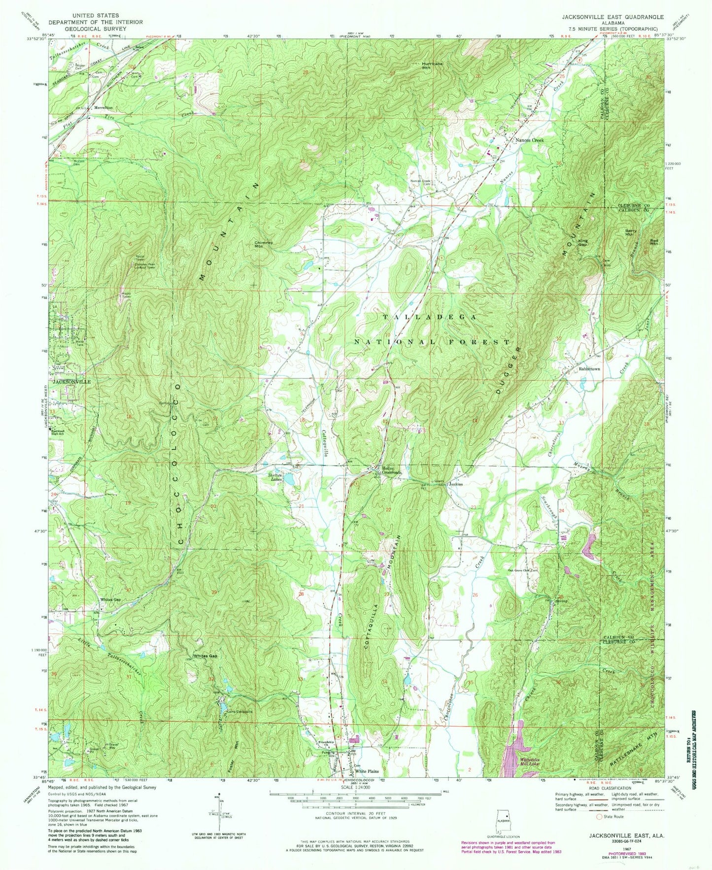
Classic USGS Jacksonville East Alabama 7.5'x7.5' Topo Map
Couldn't load pickup availability
Historical USGS topographic quad map of Jacksonville East in the state of Alabama. Map scale may vary for some years, but is generally around 1:24,000. Print size is approximately 24" x 27"
This quadrangle is in the following counties: Calhoun, Cleburne.
The map contains contour lines, roads, rivers, towns, and lakes. Printed on high-quality waterproof paper with UV fade-resistant inks, and shipped rolled.
Contains the following named places: Arthur Wellborn School, Ben White Point, Berry Mountain, Boozer Cemetery, Browns Spring, Camp Cottaquilla, Carpenters Bend, Carpond Spring, Chimney Mountain, Chimney Peak, Chimney Peak Lookout Tower, Community Cemetery, Community Congregational Holiness Church, Coosa Fields, Cottaquilla Dam, Cottaquilla Mountain, Easterwood Spring, Eastwood High School, Foster Mountain, Friendship Church, Green Cemetery, Hallingworth, Holley Crossroads, Holley Crossroads Missionary Baptist Church, Hollingsworth, Hollingsworth School, Hurricane Mountain, Jenkins, Jones Branch, King Gap, Lake Cottaquilla, McCain Cemetery, McCains Chapel Methodist Church, Merrellton, Murray Branch, Nances Creek, Nances Creek Cemetery, Nances Creek Census Designated Place, Nances Creek Missionary Baptist Church, Nances Creek School, New Oak Grove Missionary Baptist Church, NEW-AM (Jacksonville), Rabbittown, Rabbittown Gap, Rabbittown Missionary Baptist Church, Red Mountain, Roberts Spring, Rock House Branch, Salem Presbyterian Church, Scarbrough Creek, Shelton Dam, Shelton Lakes, The Narrows, Watsons Field Spring, Watsons House Spring, Wellborn Cemetery, White Plains Census Designated Place, White Plains Volunteer Fire Department Station 2, Whites Gap, Whites Gap Baptist Church, Whites Gap Cemetery, Whites Gap School, Whites Gap Spring, Williamson - Little Cemetery


