MyTopo
Classic USGS Jacksonville NE Georgia 7.5'x7.5' Topo Map
Couldn't load pickup availability
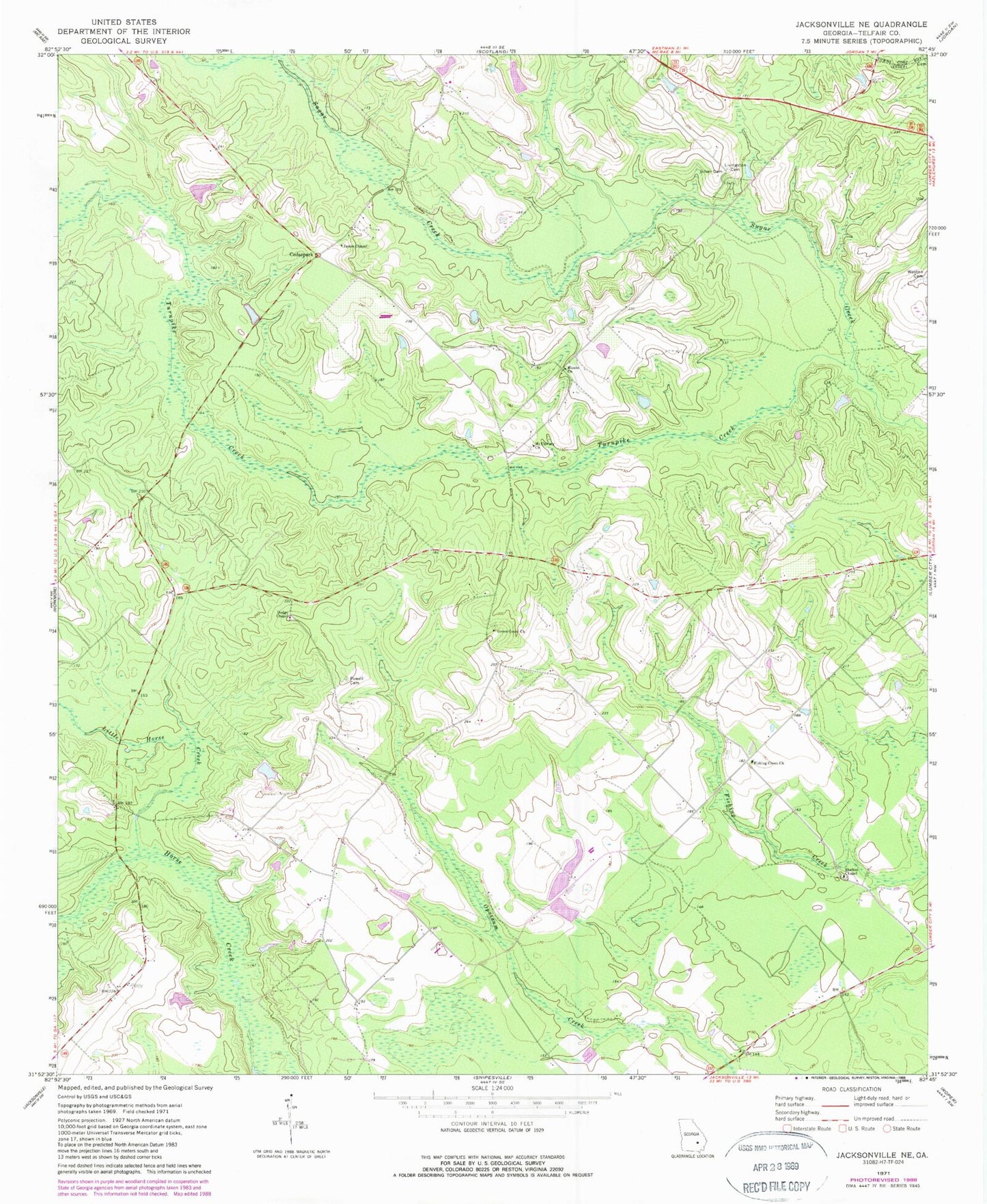
Historical USGS topographic quad map of Jacksonville NE in the state of Georgia. Map scale may vary for some years, but is generally around 1:24,000. Print size is approximately 24" x 27"
This quadrangle is in the following counties: Telfair.
The map contains contour lines, roads, rivers, towns, and lakes. Printed on high-quality waterproof paper with UV fade-resistant inks, and shipped rolled.
Contains the following named places: Cedarpark, Dodge Chapel, Fishing Creek Church, Green Grove Church, Horse Creek Volunteer Fire Department, James Chapel, Little Horse Creek, Livingston Cemetery, Lower Stapleton Lake, Lower Stapleton Lake Dam, Lumber City Division, Mimbs Church, Mount Calvary Church, Powell Cemetery, Shelton Chapel, Silver Cemetery, Stapleton Lake, Stapleton Lake Dam, Turnpike Creek, Upper Stapleton Lake, Upper Stapleton Lake Dam, Wooten Cemetery