MyTopo
Classic USGS Jacksonville Arkansas 7.5'x7.5' Topo Map
Couldn't load pickup availability
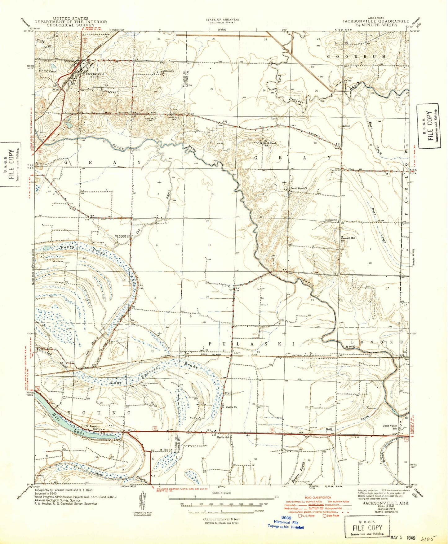
Historical USGS topographic quad map of Jacksonville in the state of Arkansas. Map scale may vary for some years, but is generally around 1:24,000. Print size is approximately 24" x 27"
This quadrangle is in the following counties: Lonoke, Pulaski.
The map contains contour lines, roads, rivers, towns, and lakes. Printed on high-quality waterproof paper with UV fade-resistant inks, and shipped rolled.
Contains the following named places: Arkansas Emergency Transport - Jacksonville, Baucum Nursery, Bethany Cemetery, Burris Branch, Cherry Cemetery, Crestview Plaza Shopping Center, East Pulaski Fire Department, Ellis Cemetery, Excell Park, Fireman Park, First Baptist Church, First Presbyterian Church, Forty Point Lake, Franke Field, Galloway Park, Hills Lake, Jackson Square Shopping Center, Jacksonville, Jacksonville Branch Library, Jacksonville City Hall, Jacksonville Elementary School, Jacksonville Fire Department Station 2, Jacksonville Fire Department Station 2 Ambulance, Jacksonville Fire Department Station 4, Jacksonville Junior High School, Jacksonville Middle School, Jacksonville Police Department, Jacksonville Post Office, Jacksonville School, Jacksonville Shopping Center, Jeter Park, Johnson Cemetery, Johnson Park, Keller Lake, Keller Lake Dam, Kerr, Lone Cypress Brake, Lone Cypress Cemetery, Martin Cemetery, Martin School, McCraw Cemetery, Meto, Mount Ararat Church, Mount Pisgah Church, Panola Church, Panola School, Pleasant Hill Church, Pleasure Park and Recreation Center, Reeds Bridge, Saint Joe Church, Saint Joseph School, Saint Matthew Church, Saint Paul Church, Shuffield Lake, South Bend, South Bend Church, South Bend Fire Department Station 1, South Bend School, South Plaza Shopping Center, Southside High School, Stagecoach Park, Sunnyside Shopping Center, Taylor Elementary School, Township of Gray, Township of Pulaski, Union Valley, Union Valley School


