MyTopo
Classic USGS Jacksonville Georgia 7.5'x7.5' Topo Map
Couldn't load pickup availability
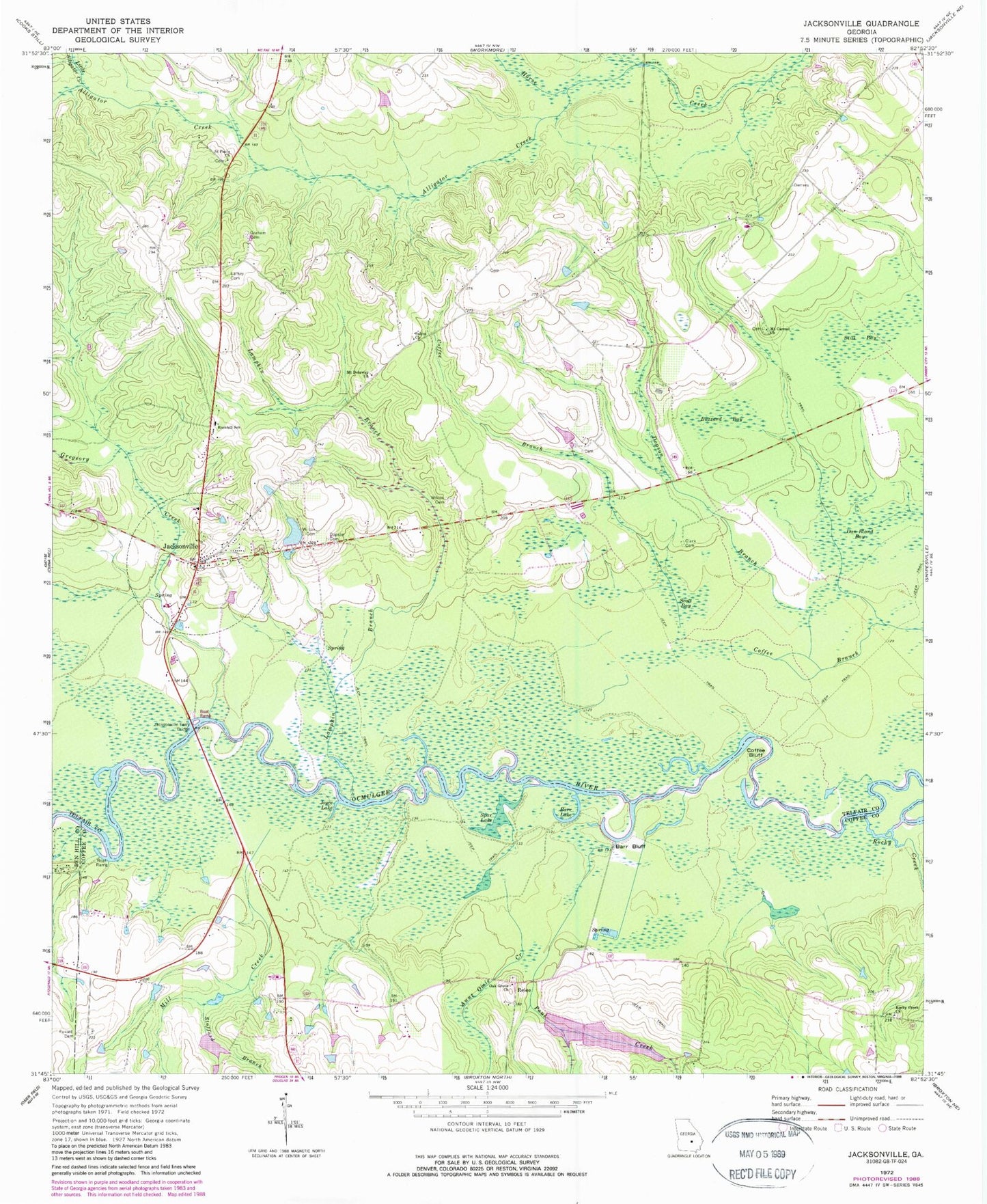
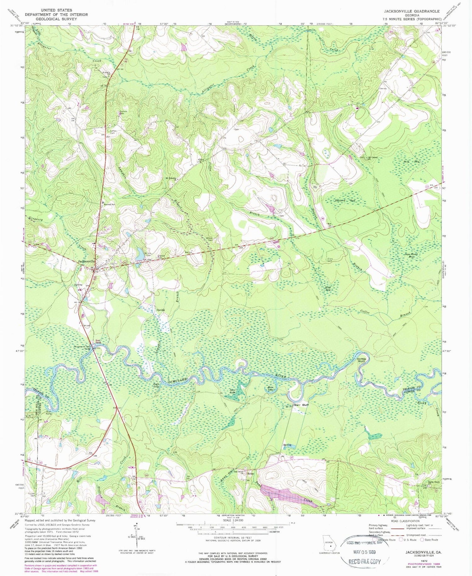
Historical USGS topographic quad map of Jacksonville in the state of Georgia. Typical map scale is 1:24,000, but may vary for certain years, if available. Print size: 24" x 27"
This quadrangle is in the following counties: Ben Hill, Coffee, Telfair.
The map contains contour lines, roads, rivers, towns, and lakes. Printed on high-quality waterproof paper with UV fade-resistant inks, and shipped rolled.
Contains the following named places: Alligator Creek, Aunt Omie Creek, Barr Bluff, Barr Lake, Buzzard Bay, Clark Cemetery, Coffee Bluff, Dopson Branch, Fussell Cemetery, Graham Cemetery, Gregeory Creek, Jacksonville, Jacksonville Ferry Bridge, Joyce Lake, Lampkin Branch, Larkey Cemetery, Little Alligator Creek, Mill Creek, Mount Carmel Church, Mount Dolaway Church, Oak Grove Church, Paul Creek, Rockhill School, Rocky Creek, Rocky Creek Church, Saint Pauls Church, Salem Church, Scott Bay, Spar Lake, Stafford Branch, Still Bay, Wilcox Cemetery, Wilcox Cemetery, Relee, Dobbs Lake Dam, Dobbs Lake, Cherokee Lakes Dam, Cherokee Lake, Bush Lake Dam, Bush Lake, Frier Cemetery, Mobley Bluff Creek, Oak Grove Cemetery, Rocky Creek Cemetery, Dopson Cemetery, Jacksonville Cemetery, Jacksonville United Methodist Church, Rockhill Church, Shaw Cemetery, Tabernacle Church, Jacksonville Division, City of Jacksonville, Jacksonville Volunteer Fire Department, Farm Service Agency Interest of Georgia, Jacksonville Post Office


