MyTopo
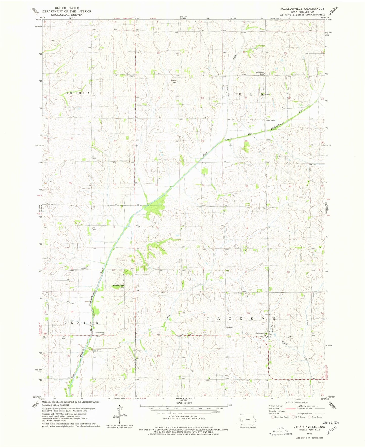
Classic USGS Jacksonville Iowa 7.5'x7.5' Topo Map
Couldn't load pickup availability
Historical USGS topographic quad map of Jacksonville in the state of Iowa. Map scale may vary for some years, but is generally around 1:24,000. Print size is approximately 24" x 27"
This quadrangle is in the following counties: Shelby.
The map contains contour lines, roads, rivers, towns, and lakes. Printed on high-quality waterproof paper with UV fade-resistant inks, and shipped rolled.
Contains the following named places: Bethelhem Church, Bethlehem Lutheran Cemetery, Bonnie Creek, Botany, Botany Post Office, Bowmans Grove Cemetery, Danway Cemetery, Elm Creek, Jacksonville, Jacksonville Census Designated Place, Jacksonville Post Office, Long Branch, Oaks Habitat Area, Red Line, Red Line Cemetery, Redline Church of Christ, Redline Post Office, Township of Jackson, Township of Polk, ZIP Code: 51447