MyTopo
Classic USGS Jakes Coulee Montana 7.5'x7.5' Topo Map
Regular price
$16.95
Regular price
Sale price
$16.95
Unit price
per
Couldn't load pickup availability
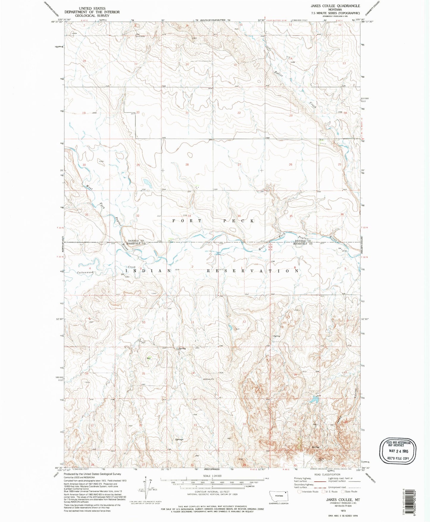
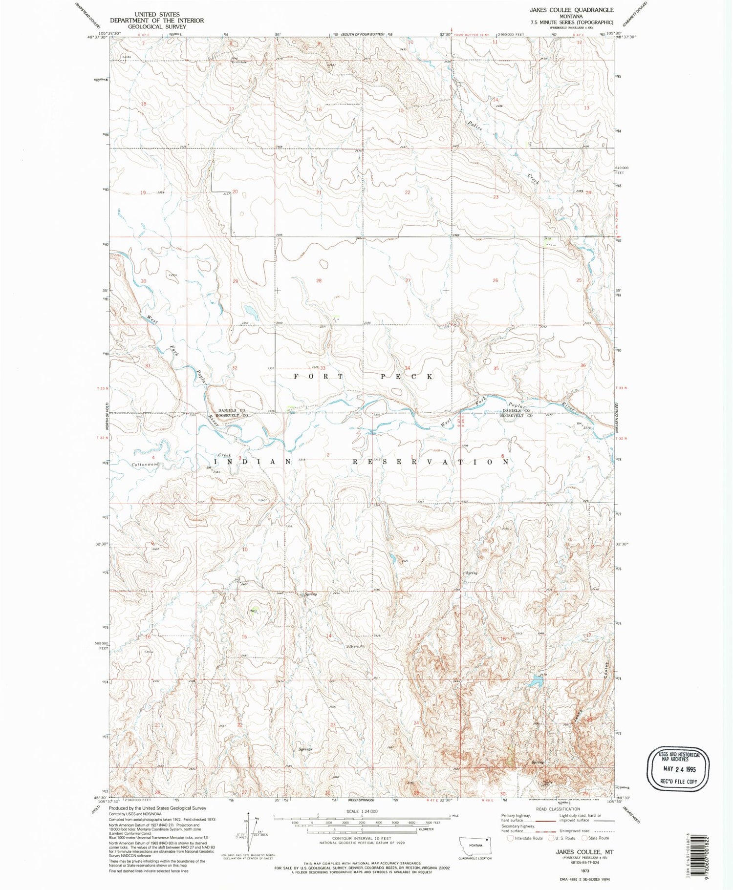
Historical USGS topographic quad map of Jakes Coulee in the state of Montana. Map scale may vary for some years, but is generally around 1:24,000. Print size is approximately 24" x 27"
This quadrangle is in the following counties: Daniels, Roosevelt.
The map contains contour lines, roads, rivers, towns, and lakes. Printed on high-quality waterproof paper with UV fade-resistant inks, and shipped rolled.
Contains the following named places: 28N47E26DBAD03 Well, 33N47E01DBDB01 Well, 33N47E20BDBB01 Well, Below Zero Dam, Cottonwood Creek, J B and R Haversland Dam, Longager School