MyTopo
Classic USGS Jam Up Cave Missouri 7.5'x7.5' Topo Map
Couldn't load pickup availability
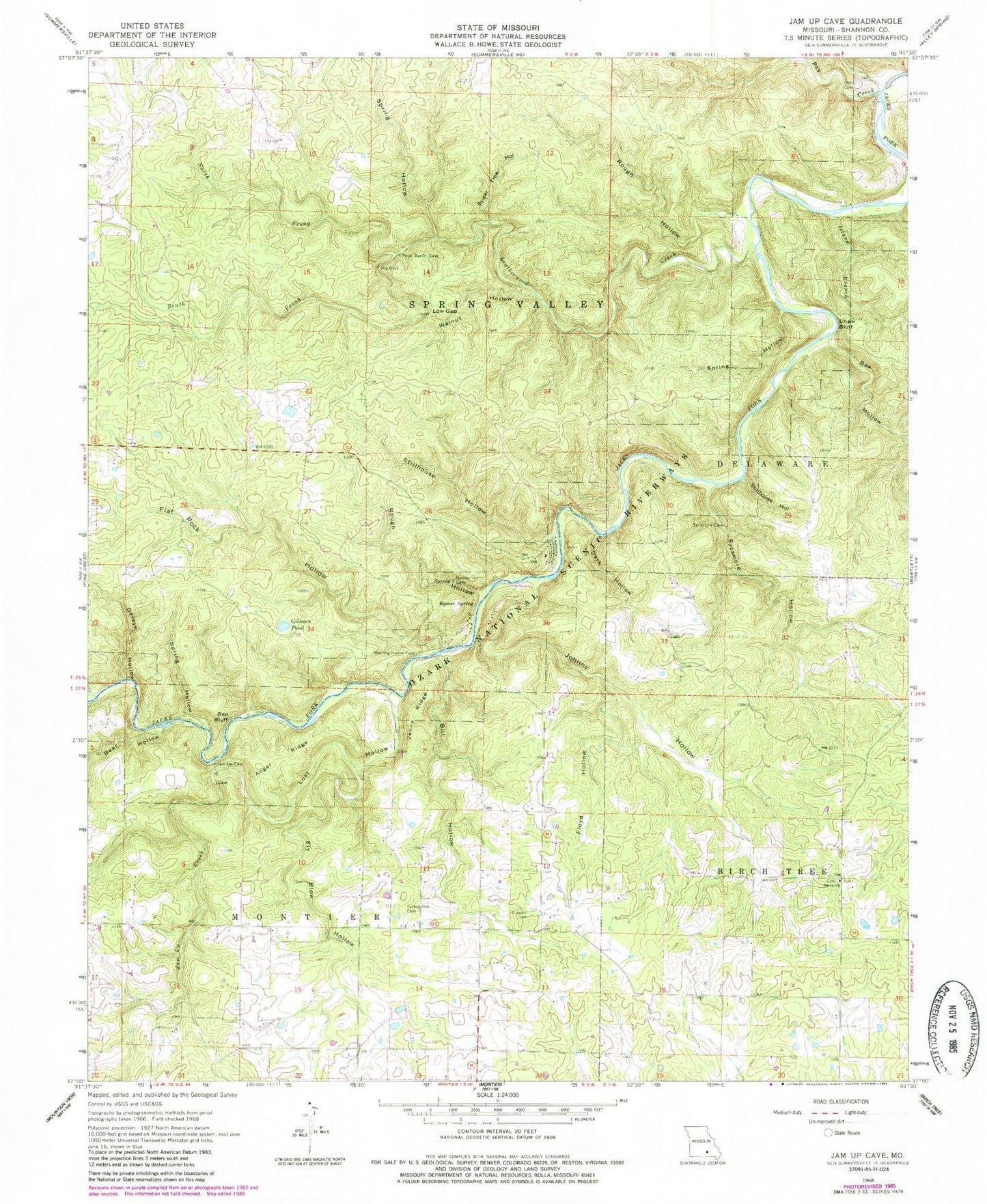
Historical USGS topographic quad map of Jam Up Cave in the state of Missouri. Typical map scale is 1:24,000, but may vary for certain years, if available. Print size: 24" x 27"
This quadrangle is in the following counties: Shannon.
The map contains contour lines, roads, rivers, towns, and lakes. Printed on high-quality waterproof paper with UV fade-resistant inks, and shipped rolled.
Contains the following named places: Angel Ridge, Bay Creek, Bear Hollow, Berea Church, Bill Hollow, Chalk Bluff, Dark Hollow, Daveys Hollow, Duncan Cemetery, Dyer Cemetery, Flat Rock Hollow, Floyd Hollow, Fly Blow Hollow, Gilmore Pond, Hughes Hollow, Jam Up Creek, Jenny Ridge, Johnny Hollow, Leatherwood Creek, Lost Hollow, Low Gap, North Prong Leatherwood Creek, Red Bluff, Rough Hollow, Rough Hollow, Rymer Spring, South Prong Leatherwood Creek, Spring Hollow, Spring Hollow, Spring Hollow, Stillhouse Hollow, Stillhouse Hollow, Sugar Tree Hollow, Sycamore Hollow, Turkey Oak Cemetery, Walnut Hollow, Bunker Hill Ranch, Bee Bluff, Muck Forty Hole, Dry Hollow, Rymers River Access, Bay Creek River Access, Bay Creek Campsite, Turkey Oak School, Stony Point School (historical), Rymer Ranch, Science Ridge School (historical), Liberty School (historical), Bee Hollow, Township of Montier, Tin Roof (historical), Bee Hollow Branch


