MyTopo
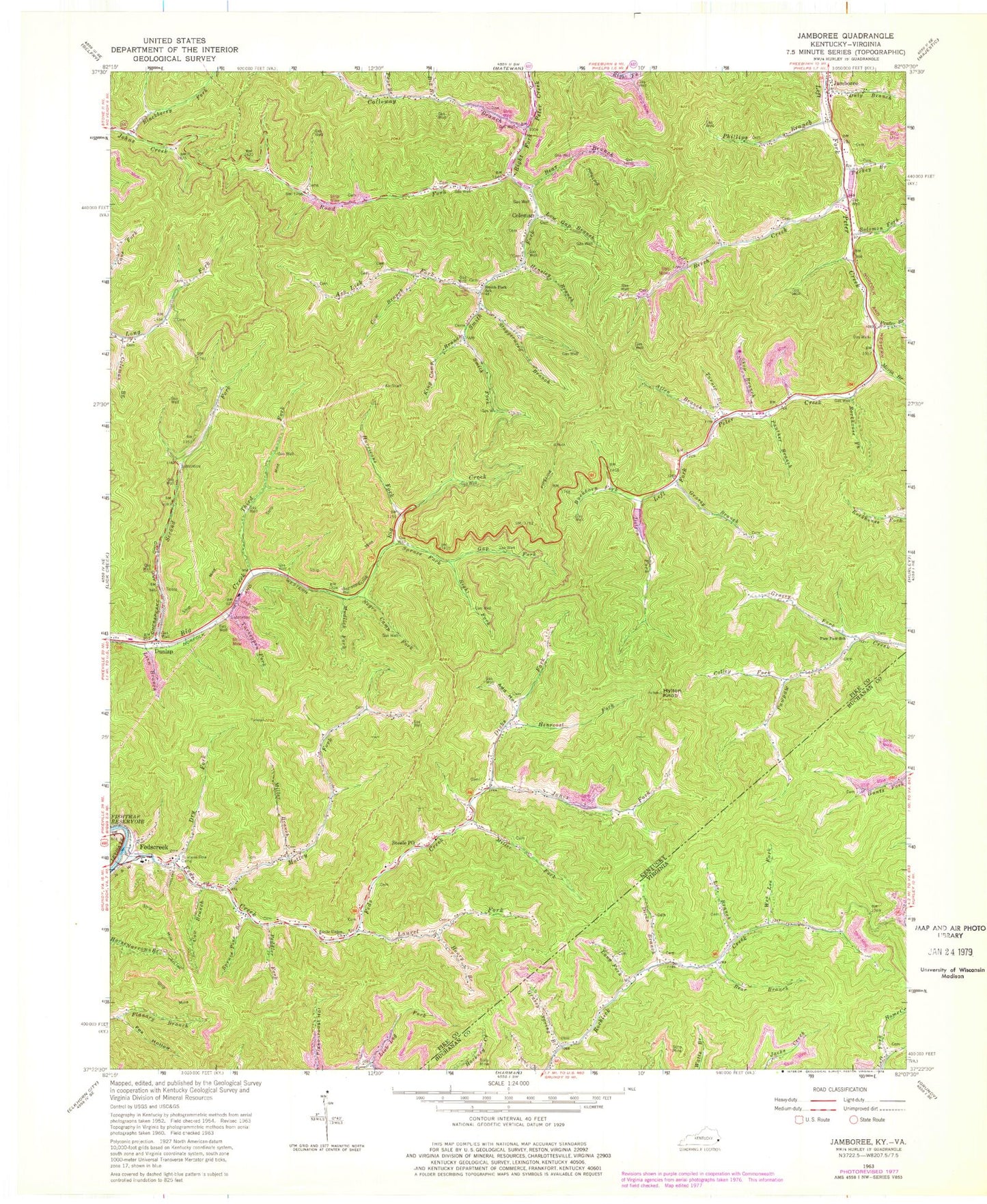
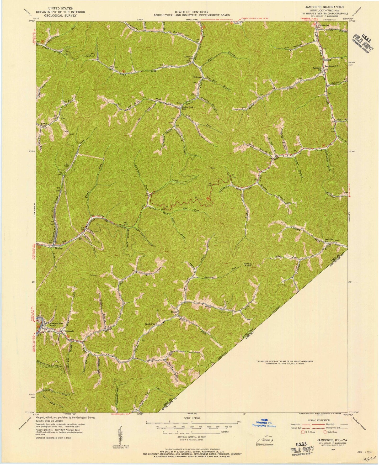
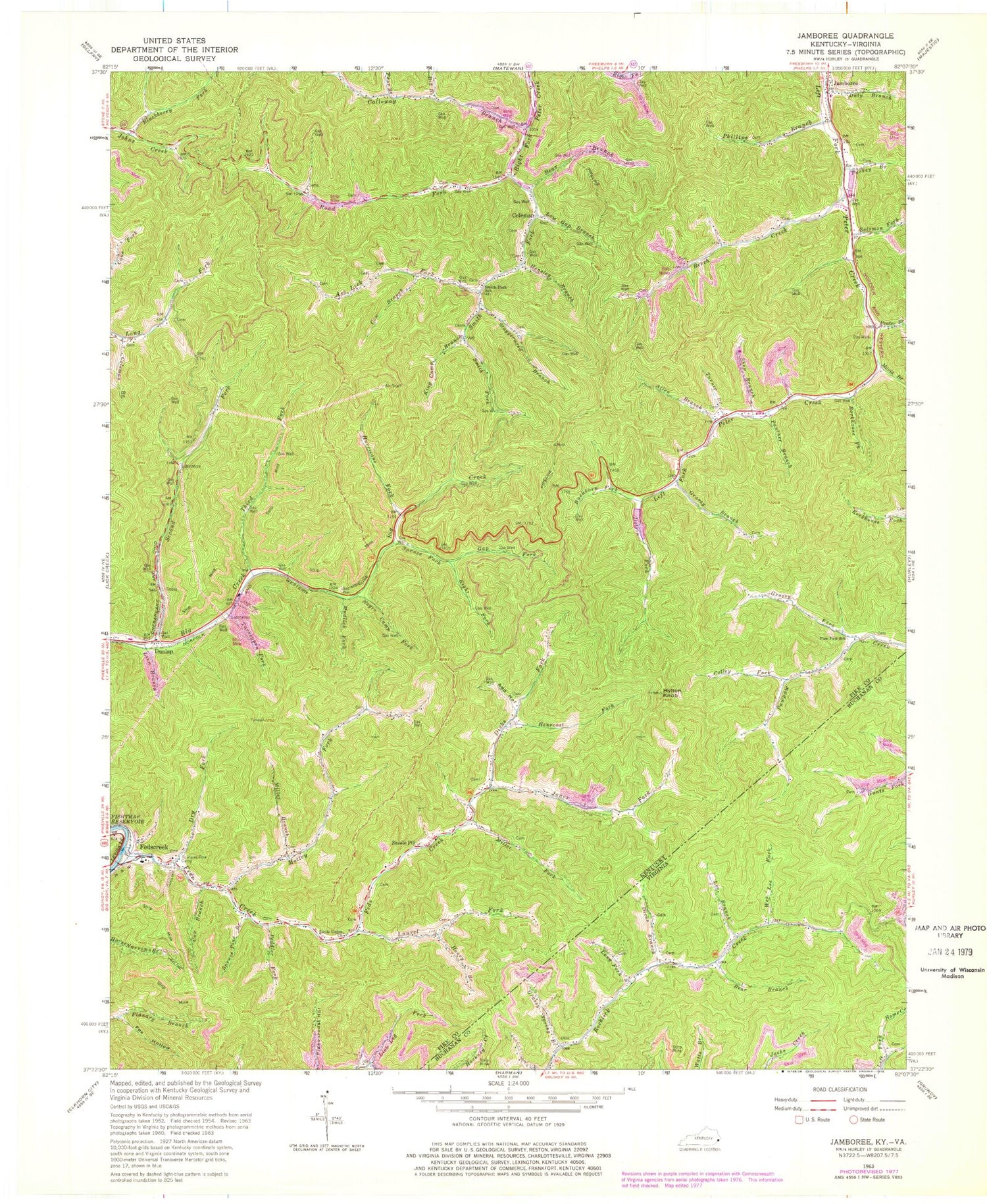
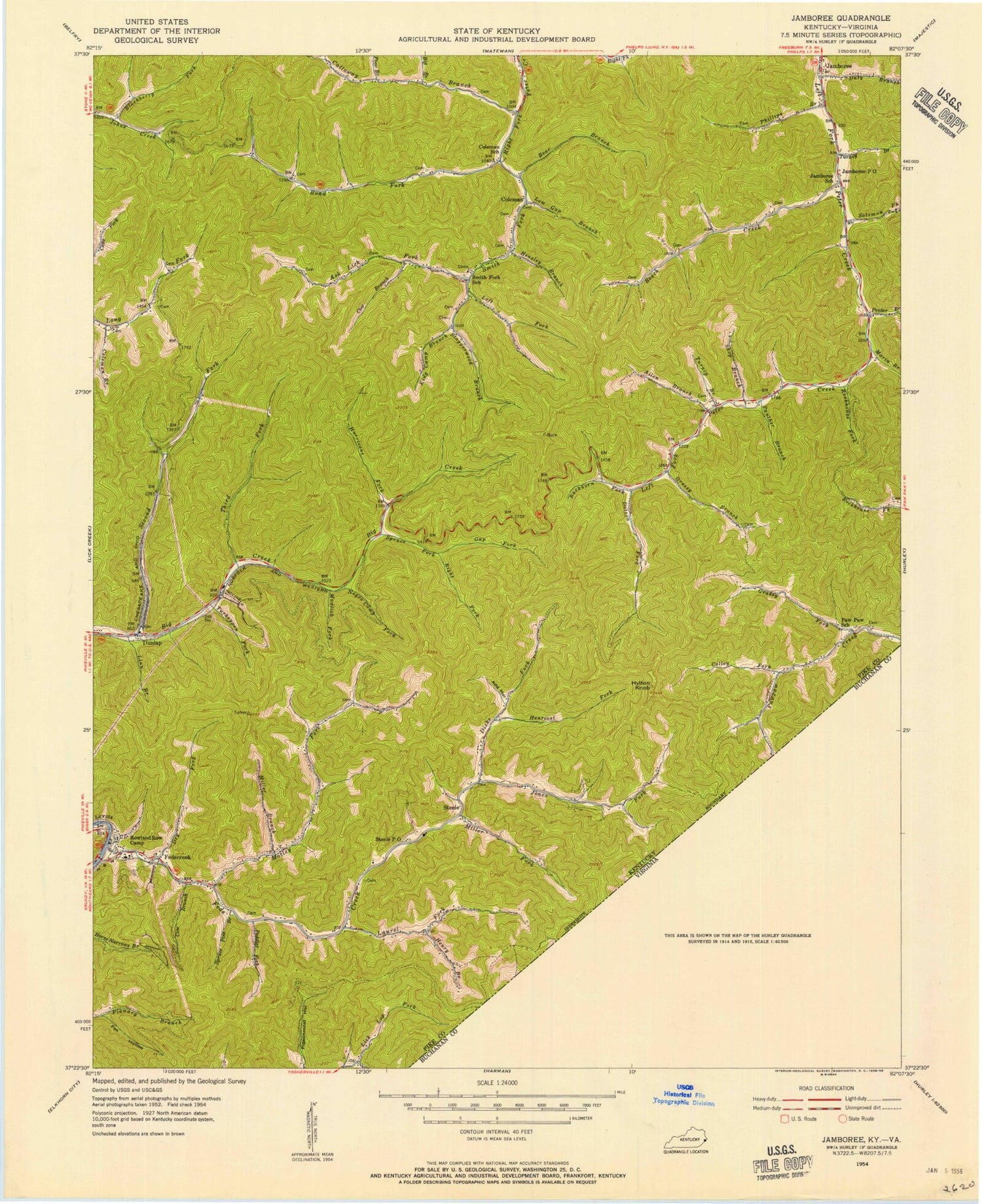
Classic USGS Jamboree Kentucky 7.5'x7.5' Topo Map
Couldn't load pickup availability
Historical USGS topographic quad map of Jamboree in the states of Kentucky, Virginia. Map scale may vary for some years, but is generally around 1:24,000. Print size is approximately 24" x 27"
This quadrangle is in the following counties: Buchanan, Pike.
The map contains contour lines, roads, rivers, towns, and lakes. Printed on high-quality waterproof paper with UV fade-resistant inks, and shipped rolled.
Contains the following named places: Add Hollow, Allen Branch, Ash Lick Fork, Bear Branch, Beech Creek, Big Branch, Blackberry Fork, Buckhorn Fork, Calloway Branch, Coleman, Coleman Branch, Coleman Post Office, Coleman School, Colley Fork, Cow Branch, Dicks Branch, Dicks Fork, Dotson Fork, Dry Fork, Dunlap, Dunlap Post Office, Dunlap Railroad Station, Duty Branch, Feds Creek, Feds Creek High School, Feds Creek Post Office, Feds Creek Volunteer Fire Department, Fedscreek, Fedscreek Post Office, Fedscreek Volunteer Fire Department Station 2, Fox Hollow, Gap Fork, Grassy Branch, Grassy Fork, Grassy Spring Branch, Henroost Fork, Henry Branch, Hensley Branch, Hurricane Fork, Hylton Knob, Jackson Rowe Elementary School, Jamboree, Jamboree Post Office, Jamboree School, Jess Hollow, Jones Fork, Kimper Volunteer Fire Department Station 4, King Camp Branch, Lang Fork, Laurel Fork, Lee Branch, Lick Log Fork, Linn Branch, Little Union Church, Low Gap Branch, Maria Branch, Miller Branch, Miller Fork, Motley, Motley Fork, Mudlick Fork, Negro Camp Fork, Panther Branch, Paw Paw School, Peddler Fork, Phillips Branch, Phillips Cemetery, Poor Branch, Prater Branch, Right Fork Spruce Fork, Road Fork, Rockhouse Fork, Rowland Row Camp, Second Big Creek Fork, Shop Branch, Smith Fork, Smith Fork School, Solomon Fork, Spruce Fork, Spruce Pine Branch, Staggerweed Branch, Steele Post Office, Third Fork Big Creek, Turkey Branch, Turkeypen Fork, Turnip Branch, Upper Feds Creek School, Wes Lee Fork, ZIP Codes: 41524, 41553, 41566


