MyTopo
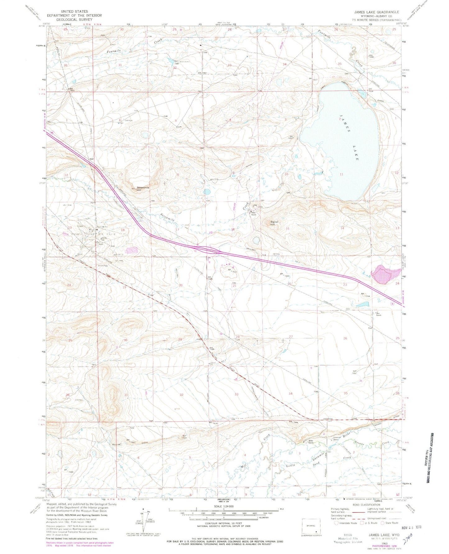
Classic USGS James Lake Wyoming 7.5'x7.5' Topo Map
Regular price
$16.95
Regular price
Sale price
$16.95
Unit price
per
Couldn't load pickup availability
Historical USGS topographic quad map of James Lake in the state of Wyoming. Map scale may vary for some years, but is generally around 1:24,000. Print size is approximately 24" x 27"
This quadrangle is in the following counties: Albany.
The map contains contour lines, roads, rivers, towns, and lakes. Printed on high-quality waterproof paper with UV fade-resistant inks, and shipped rolled.
Contains the following named places: Battin Ditch, Bellamy Ditch Number 1, Bellamy Ditch Number 2, Hunt Ranch, James Lake, Lawrence Ranch, Little Laramie Fire Department, May Ranch, Mill Creek, Miller Ranch, Quealy Dome Oil Field, Quealy School, Sevenmile Creek, Sevenmile Hill, Signal Hill