MyTopo
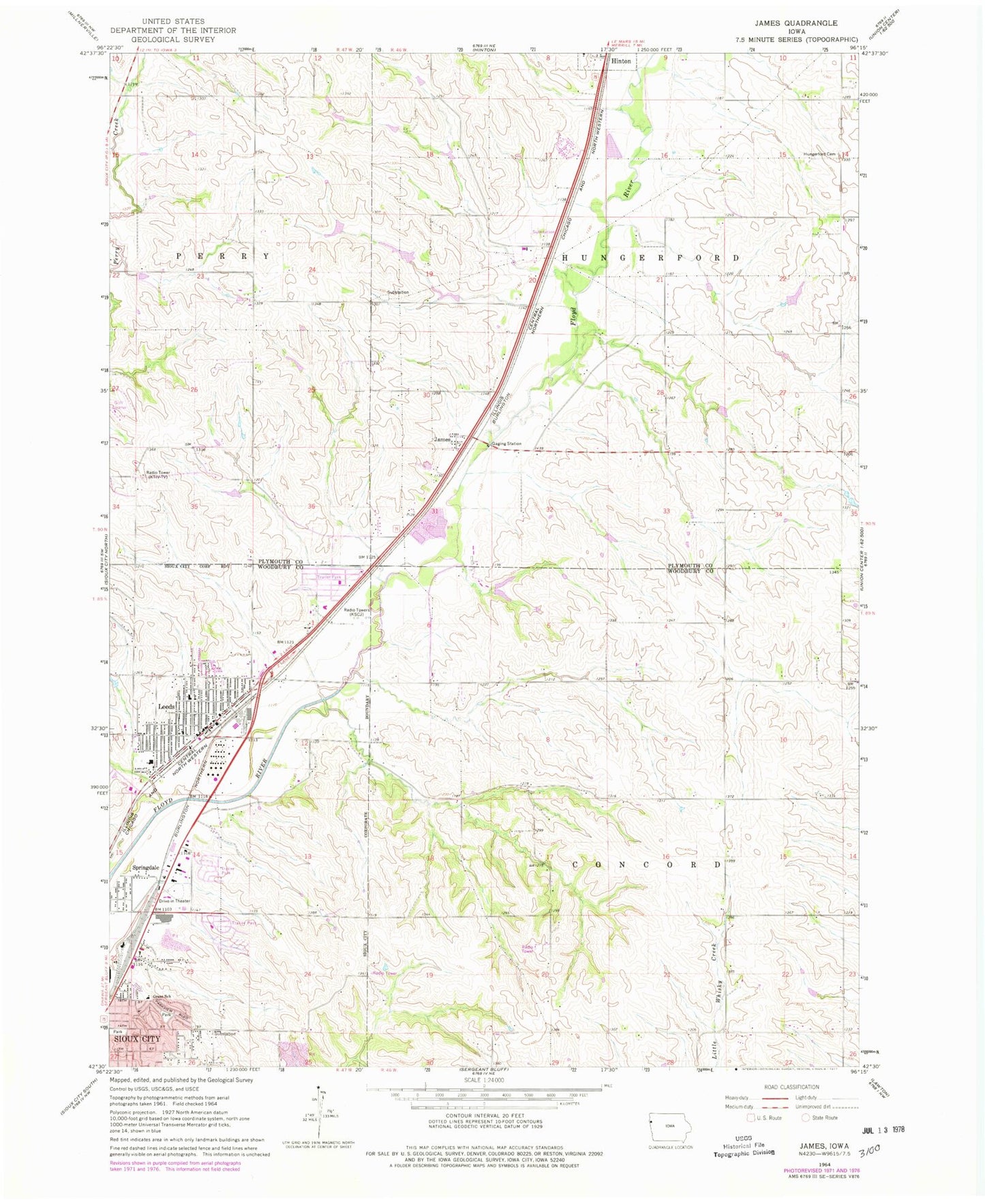
Classic USGS James Iowa 7.5'x7.5' Topo Map
Couldn't load pickup availability
Historical USGS topographic quad map of James in the state of Iowa. Map scale may vary for some years, but is generally around 1:24,000. Print size is approximately 24" x 27"
This quadrangle is in the following counties: Plymouth, Woodbury.
The map contains contour lines, roads, rivers, towns, and lakes. Printed on high-quality waterproof paper with UV fade-resistant inks, and shipped rolled.
Contains the following named places: Beckwith Cottage, Calvary Lutheran Church, Carlin Park, Central Baptist Church, City of Hinton, Deer Run Golf Course, Evergreen Village, Floyd Boulevard Wesleyan Church, Floyd River Trail, Glendale Baptist Church, Grant School, Hallmark Care Center, Hawthorne Elementary School, Hillcrest Park, Hinton Ambulance, Hinton Elementary School, Hinton Fire Department, Holiday Village, Holy Cross School - Saint Michael Center, Hungerford Cemetery, James, James Post Office, KBCM-FM (Sioux City), Kelly Park, KGLI-FM (Sioux City), KMEG-TV (Sioux City), KSCJ-AM (Sioux City), KSIN-TV (Sioux City), Leeds, Leeds Elementary School, Leeds Park, Leeds Post Office, Sioux City Fire Rescue Department Station Number 7, Springdale, Tallview Terrace Mobile Home Park, Township of Concord, Township of Hungerford, Unification Church, Wesley United Methodist Church, ZIP Codes: 51024, 51105, 51108