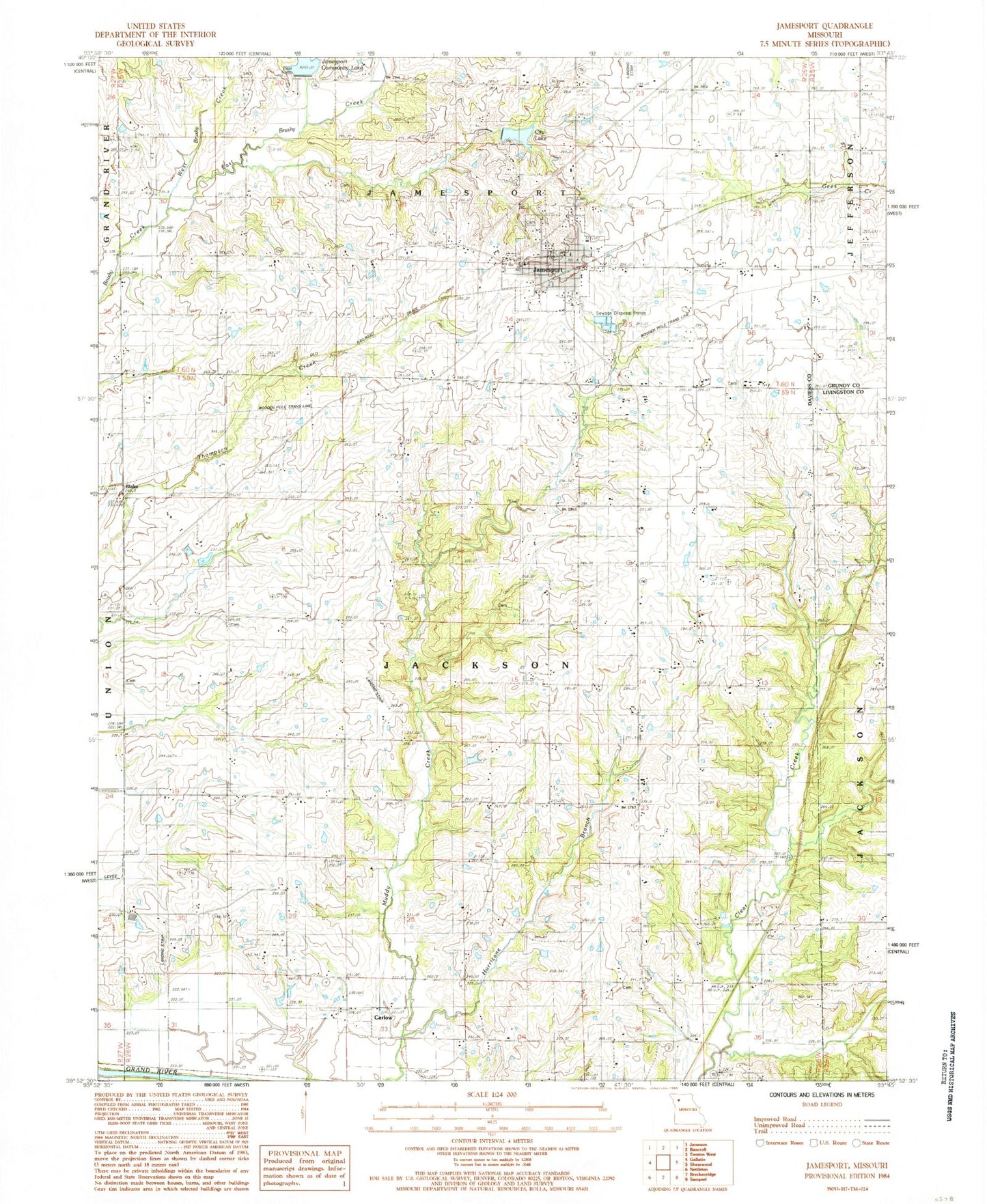
MyTopo
Classic USGS Jamesport Missouri 7.5'x7.5' Topo Map
Couldn't load pickup availability
Historical USGS topographic quad map of Jamesport in the state of Missouri. Map scale may vary for some years, but is generally around 1:24,000. Print size is approximately 24" x 27"
This quadrangle is in the following counties: Daviess, Grundy, Livingston.
The map contains contour lines, roads, rivers, towns, and lakes. Printed on high-quality waterproof paper with UV fade-resistant inks, and shipped rolled.
Contains the following named places: Arnold School, Blake, Blake School, Brown School, Carlow, City Lake, City of Jamesport, Clear Creek Church, Clear Creek School, East Brushy Creek, Froman Lake Dam, Hurricane Branch, Jamesport, Jamesport City Dam, Jamesport Community Lake, Jamesport Lake Dam, Jamesport Memorial Cemetery, Jamesport Post Office, Jamesport Volunteer Fire Department, Landmark Manufacturing Corporation Airport, McClung School, Miller School, Mount Olive Church, Mount Zion Church, Prairie Valley Church, Spillman Field, Township of Jackson, Tri - County Elementary School, Tri - County High School, West Brushy Creek, ZIP Code: 64648