MyTopo
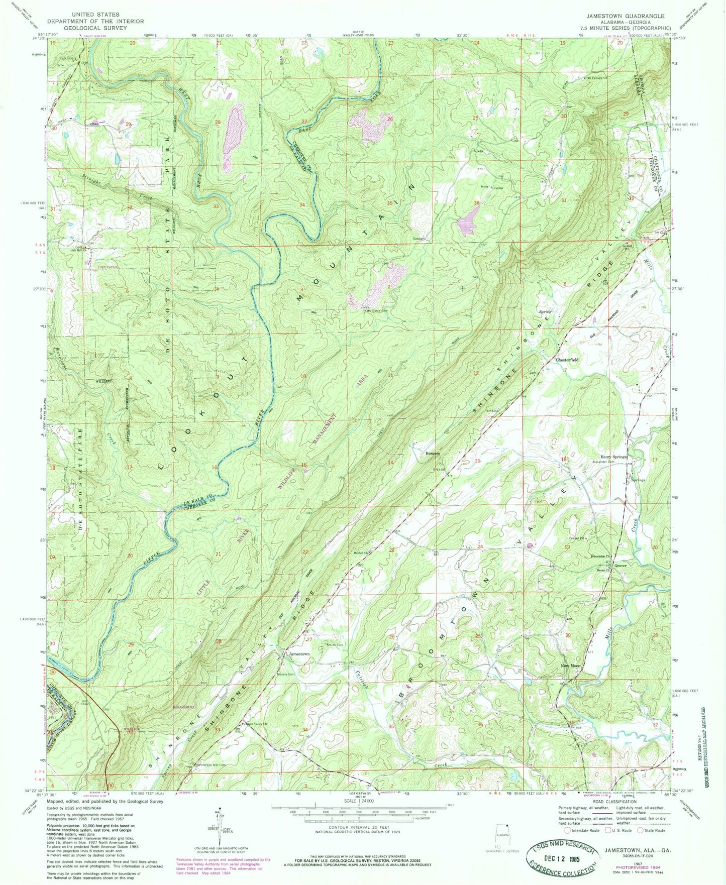
Classic USGS Jamestown Alabama 7.5'x7.5' Topo Map
Couldn't load pickup availability
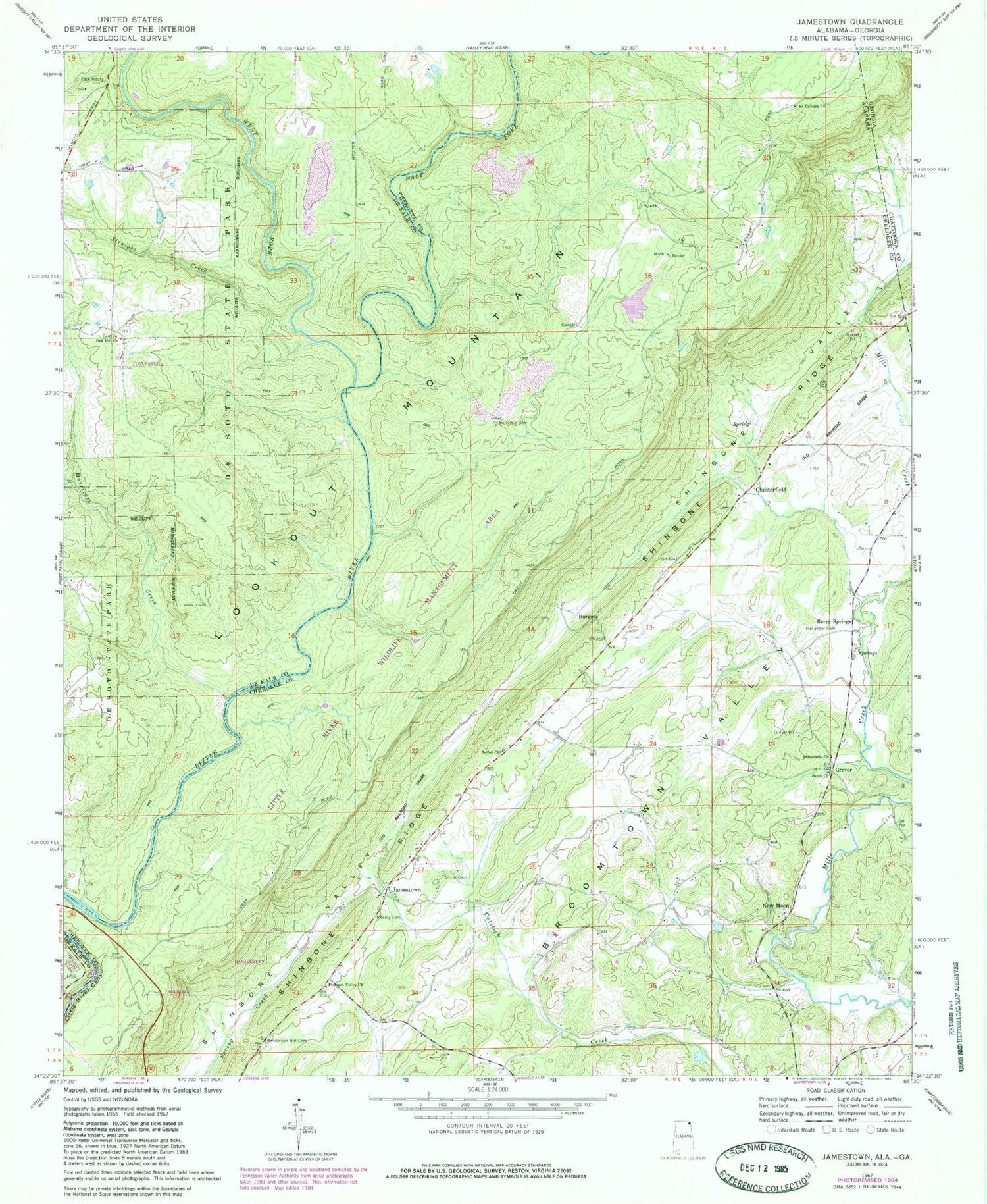
Historical USGS topographic quad map of Jamestown in the states of Alabama, Georgia. Typical map scale is 1:24,000, but may vary for certain years, if available. Print size: 24" x 27"
This quadrangle is in the following counties: Chattooga, Cherokee, DeKalb.
The map contains contour lines, roads, rivers, towns, and lakes. Printed on high-quality waterproof paper with UV fade-resistant inks, and shipped rolled.
Contains the following named places: Alexander Cemetery, Berea Church of Christ, Bethel Methodist Church, Henderson - Hill Cemetery, Jamestown, Smith Cemetery, Berea Church Cemetery, Bethel Cemetery, Five Points, Five Points School, Mount Calvary Baptist Church Cemetery, New Hope Church, Flat Landing (historical), Berry Spring, De Soto State Park, Hurricane Creek, Oak Hill Church, Straight Creek, Fisher Mill (historical), Fyffe Church, Mosely Cemetery, Oak Grove Cemetery, West Fork Little River, Friendship Baptist Church, Mount Calvary Baptist Church, Pleasant Valley Baptist Church, Chesterfield Baptist Church, Berry Springs, Burgess, Chesterfield, Grover, New Moon, King Cemetery, Billys Ford, East Fork Little River, Little River Canyon National Preserve, West Fork Little River


