MyTopo
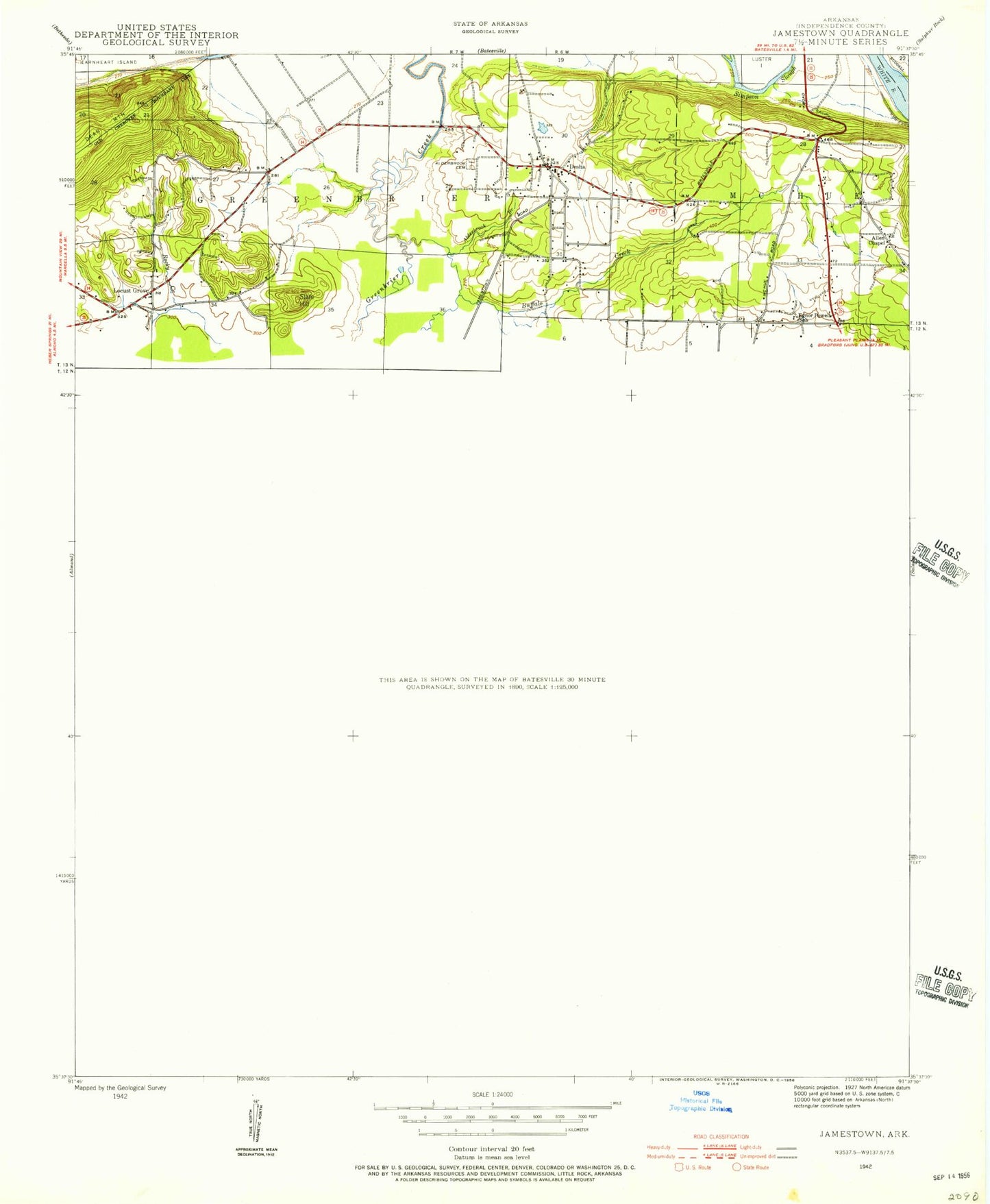
Classic USGS Jamestown Arkansas 7.5'x7.5' Topo Map
Couldn't load pickup availability
Historical USGS topographic quad map of Jamestown in the state of Arkansas. Typical map scale is 1:24,000, but may vary for certain years, if available. Print size: 24" x 27"
This quadrangle is in the following counties: Independence.
The map contains contour lines, roads, rivers, towns, and lakes. Printed on high-quality waterproof paper with UV fade-resistant inks, and shipped rolled.
Contains the following named places: Alderbrook Branch, Alderbrook Cemetery, Allen Chapel, Blue Hole Branch, Buffalo Creek, Double Branch, Ed Taylor Hollow, Grady Camp, Grassy Creek, Hutchinson, Hutchinson Church, Inman Cemetery, Inman Creek, Jamestown Church, Jamestown Creek, Jamestown Mountain, Kyler Cemetery, Locust Grove, Locust Grove Cemetery, Muddy Branch, Oak Grove Church, Oak Valley Church, Palestine Cemetery, Piney Log Creek, Rocky Creek, Rutledge Camp, Sheriff Springs Branch, Ramsey Slough, Taylor Branch, Tivis Flynn Hollow, Bryant, Cobb Mountain, Dennison Heights, Hutchinson Mountain, Jamestown, McHue, Ramsey Hill, Round Mountain, Slate Hill, Strother Mountain, Clearview Estates, Desha Elementary School, Old Clem Place (historical), Riverview, Southside Charter High School, Township of Greenbrier, Township of McHue, Township of Relief, Desha, Morris Stuart Lake Dam, Morris Stuart Lake, Batesville Regional Airport, Desha Post Office, Locust Grove Post Office, KAAB-AM (Batesville), Southside Junior High School, Desha Volunteer Fire Department Locust Grove Station, Desha Fire Department Central Station, Desha Volunteer Fire Department, Southside Fire Station 1, Southside Fire Station 3, City of Southside, Desha Census Designated Place