MyTopo
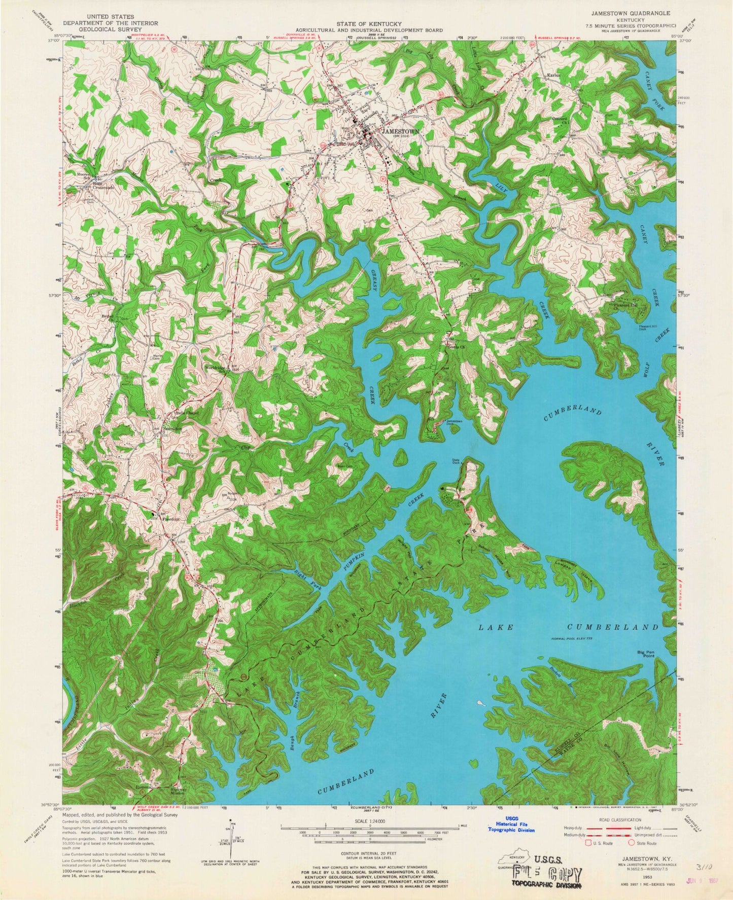
Classic USGS Jamestown Kentucky 7.5'x7.5' Topo Map
Couldn't load pickup availability
Historical USGS topographic quad map of Jamestown in the state of Kentucky. Map scale may vary for some years, but is generally around 1:24,000. Print size is approximately 24" x 27"
This quadrangle is in the following counties: Russell, Wayne.
The map contains contour lines, roads, rivers, towns, and lakes. Printed on high-quality waterproof paper with UV fade-resistant inks, and shipped rolled.
Contains the following named places: Baugh Branch, Bells Chapel, Bethel Church, Bethel Creek, Big Lily Creek, Blakey Branch, Buckett Branch, Caney Creek, City of Jamestown, Clifty Creek, Concord Church, Freedom, Greasy Creek, Highway Mission, Jamestown, Jamestown Division, Jamestown Dock, Jamestown Fire Department, Jamestown Police Department, Jamestown Post Office, Jobbes Fork, Karlus, Keen Cemetery, Lake Cumberland State Park, Lawless Cemetery, Lily Creek, Little Lily Creek, Lowgap Island, Moores Fork, Moores School, Mount Vernon Creek, Murray Cemetery, Otter Creek, Perkins Creek, Pig Pen Point, Pleasant Hill Common Church, Pleasant Hill Dock, Pumpkin Creek, Right Fork Pumpkin Creek, Rose Crossroads, Rowena, Russell County, Russell County Sheriff's Office, School House Hollow, Scotts Chapel Church, Sewellton, State Dock, Town Branch, Wolf Creek, Worldridge School, Wright Hollow


