MyTopo
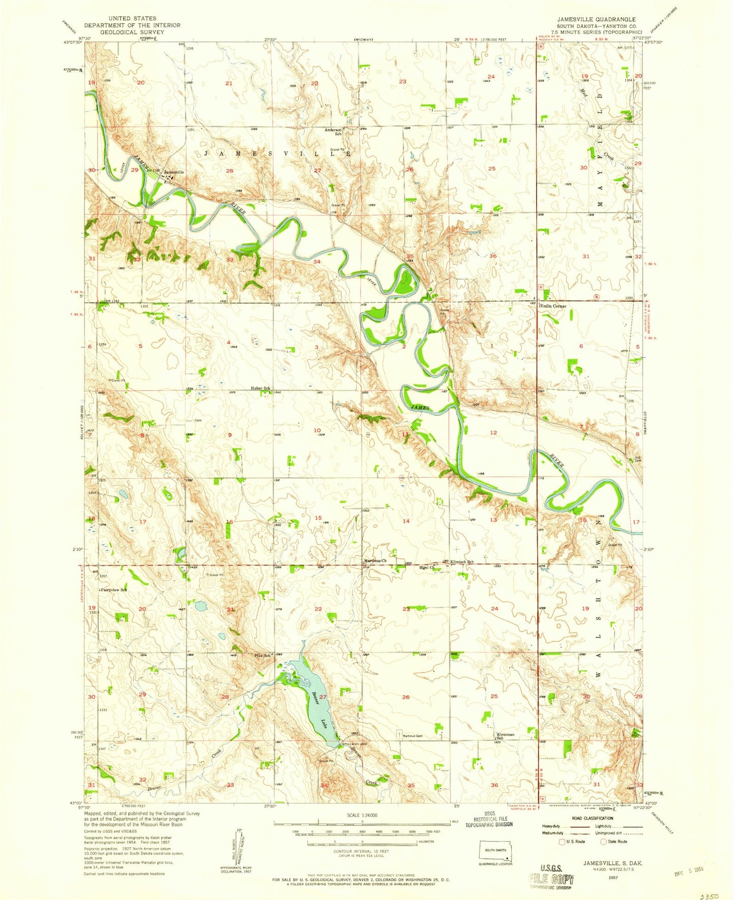
Classic USGS Jamesville South Dakota 7.5'x7.5' Topo Map
Couldn't load pickup availability
Historical USGS topographic quad map of Jamesville in the state of South Dakota. Map scale may vary for some years, but is generally around 1:24,000. Print size is approximately 24" x 27"
This quadrangle is in the following counties: Yankton.
The map contains contour lines, roads, rivers, towns, and lakes. Printed on high-quality waterproof paper with UV fade-resistant inks, and shipped rolled.
Contains the following named places: Anderson School, Beaver Dam, Beaver Lake, Braunsreuther Family Cemetery, Fairyview School, Huber School, Jamesville, Jamesville Colony, Jamesville Colony Census Designated Place, Jamesville Colony Elementary School, Jamesville Colony High School, Kietzman School, Klimisch School, Martinus Cemetery, Martinus Church, Pike School, Pleasant Hill Cemetery, Sigel, Sigel Cemetery, Sigel Church, Township of Central, Vedin Corner, Voll Cemetery, Yankton County, ZIP Code: 57067