MyTopo
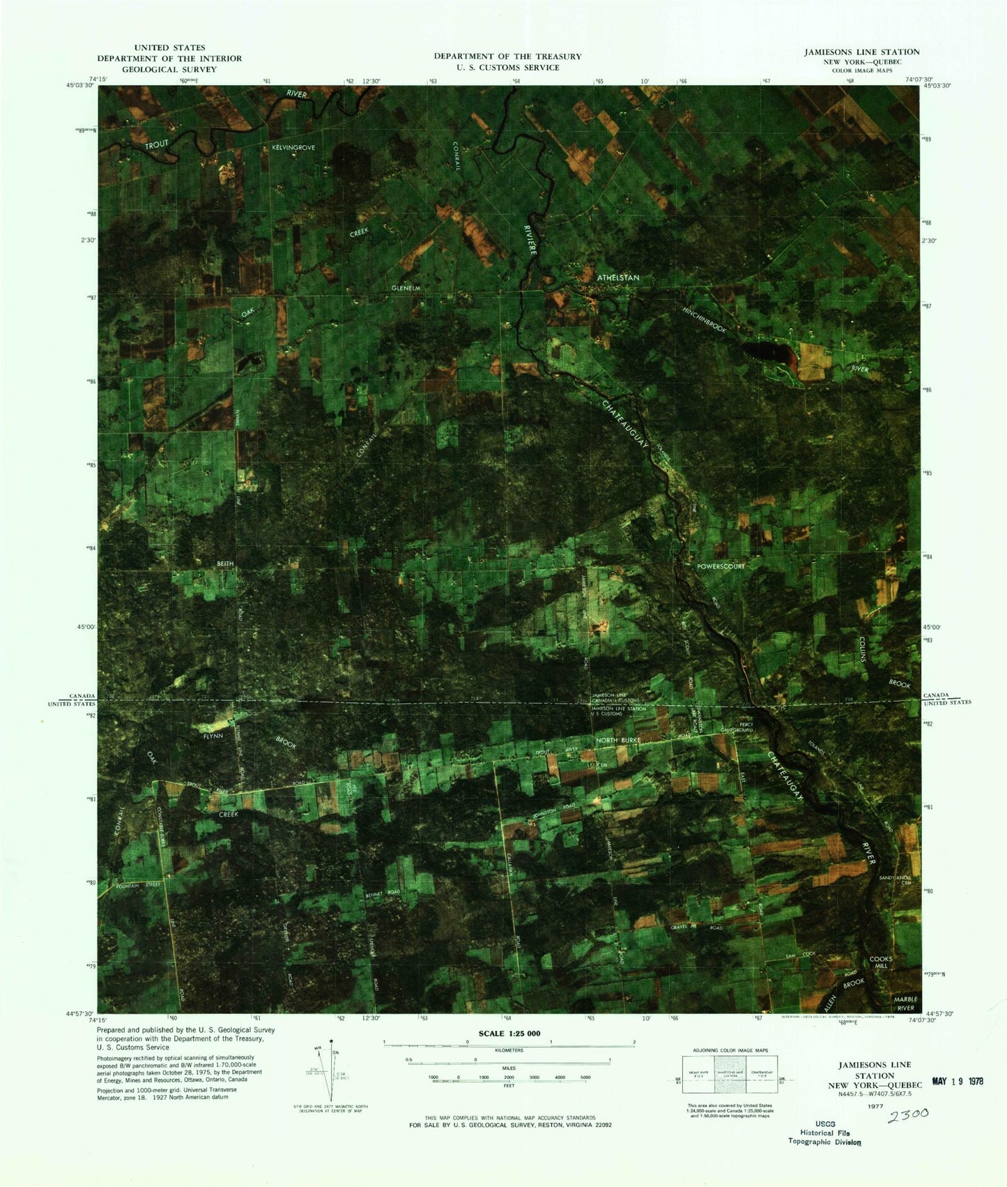
Classic USGS Jamiesons Line Station New York 7.5'x7.5' Topo Map
Regular price
$16.95
Regular price
Sale price
$16.95
Unit price
per
Couldn't load pickup availability
Historical USGS topographic quad map of Jamiesons Line Station in the state of New York. Map scale may vary for some years, but is generally around 1:24,000. Print size is approximately 24" x 27"
This quadrangle is in the following counties: Franklin.
The map contains contour lines, roads, rivers, towns, and lakes. Printed on high-quality waterproof paper with UV fade-resistant inks, and shipped rolled.
Contains the following named places: Allen Brook, Collins Brook, Cooks Mill, Fee School, Flynn Brook, Hinchinbrook Brook, Marble River, North Burke, North Burke Cemetery, Oak Creek, Percy Campground, Sandy Knoll Cemetery, School Number 14