MyTopo
Classic USGS Jane Missouri 7.5'x7.5' Topo Map
Couldn't load pickup availability
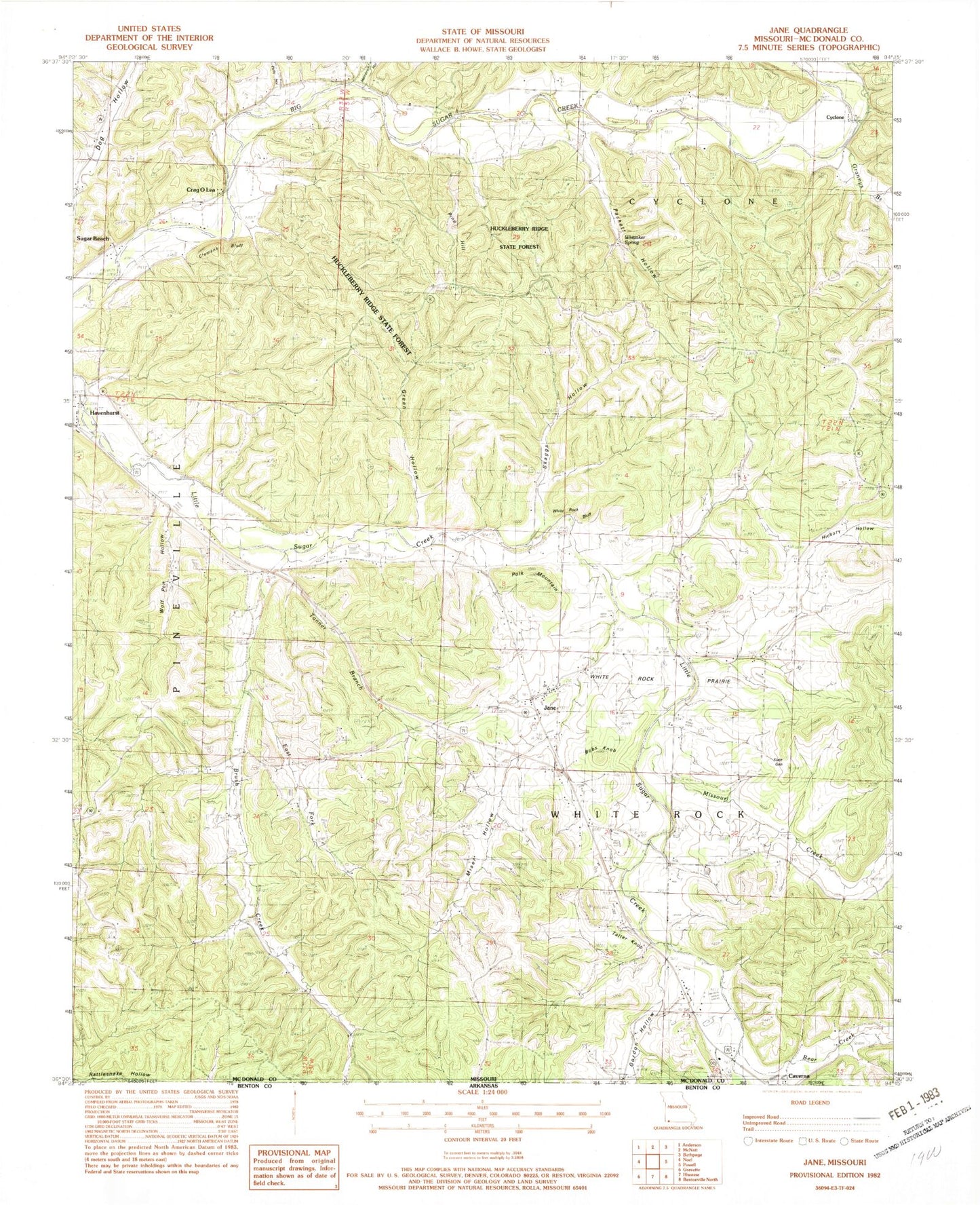
Historical USGS topographic quad map of Jane in the state of Missouri. Typical map scale is 1:24,000, but may vary for certain years, if available. Print size: 24" x 27"
This quadrangle is in the following counties: McDonald.
The map contains contour lines, roads, rivers, towns, and lakes. Printed on high-quality waterproof paper with UV fade-resistant inks, and shipped rolled.
Contains the following named places: Gordon Hollow, Browning Creek, Bear Creek, Brush Creek, Brush Creek Church (historical), Camp Tilden (historical), Clemens Bluff, Crag O Lea, East Fork Brush Creek, Grannys Branch, Green Hollow, Havenhurst, Hickory Hollow, Highland School (historical), Miser Hollow, Missouri Creek, Packett Hollow, Pine Hill, Polk Mountain, Polly Hollow, Shady Grove School (historical), Skaggs Hollow, Slate Gap, Sugar Beach, Tanner Branch, Tatter Knob, White Rock Prairie, Whittaker Spring, Wolf Pen Hollow, Bobs Knob, Hambrich Hollow, Jane, White Rock Bluff, Cyclone, Deep Ford, Griffin Ford, Meadors Ford, Huckleberry Ridge State Forest, White Rock School (historical), B S Ranch Airport, Keaton Lake Dam, Jackman Lake, Township of Pineville South, Township of White Rock, White Rock Fire Department, White Rock Elementary School, Town of Jane


