MyTopo
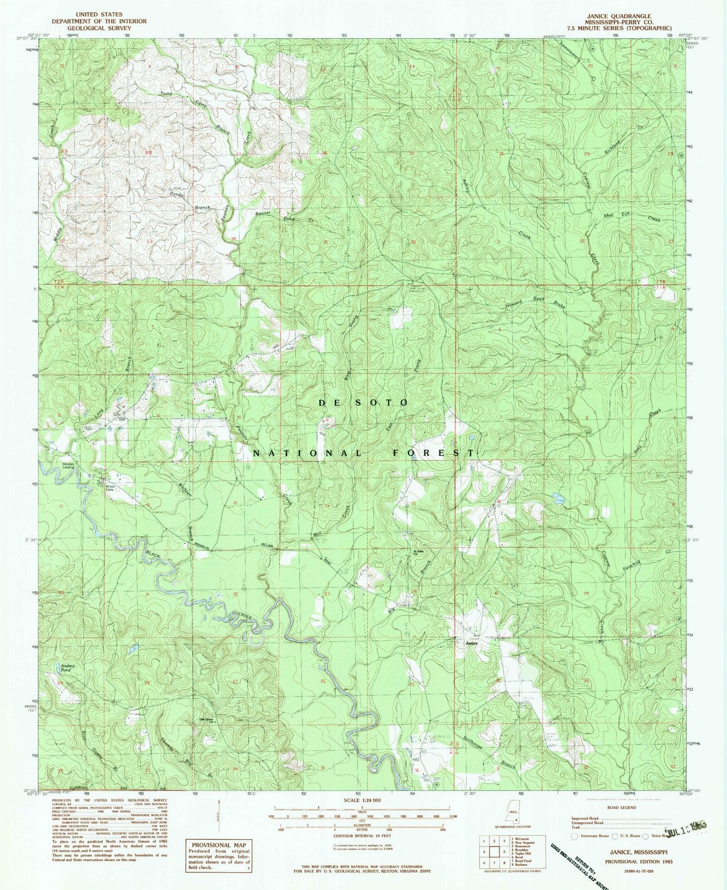
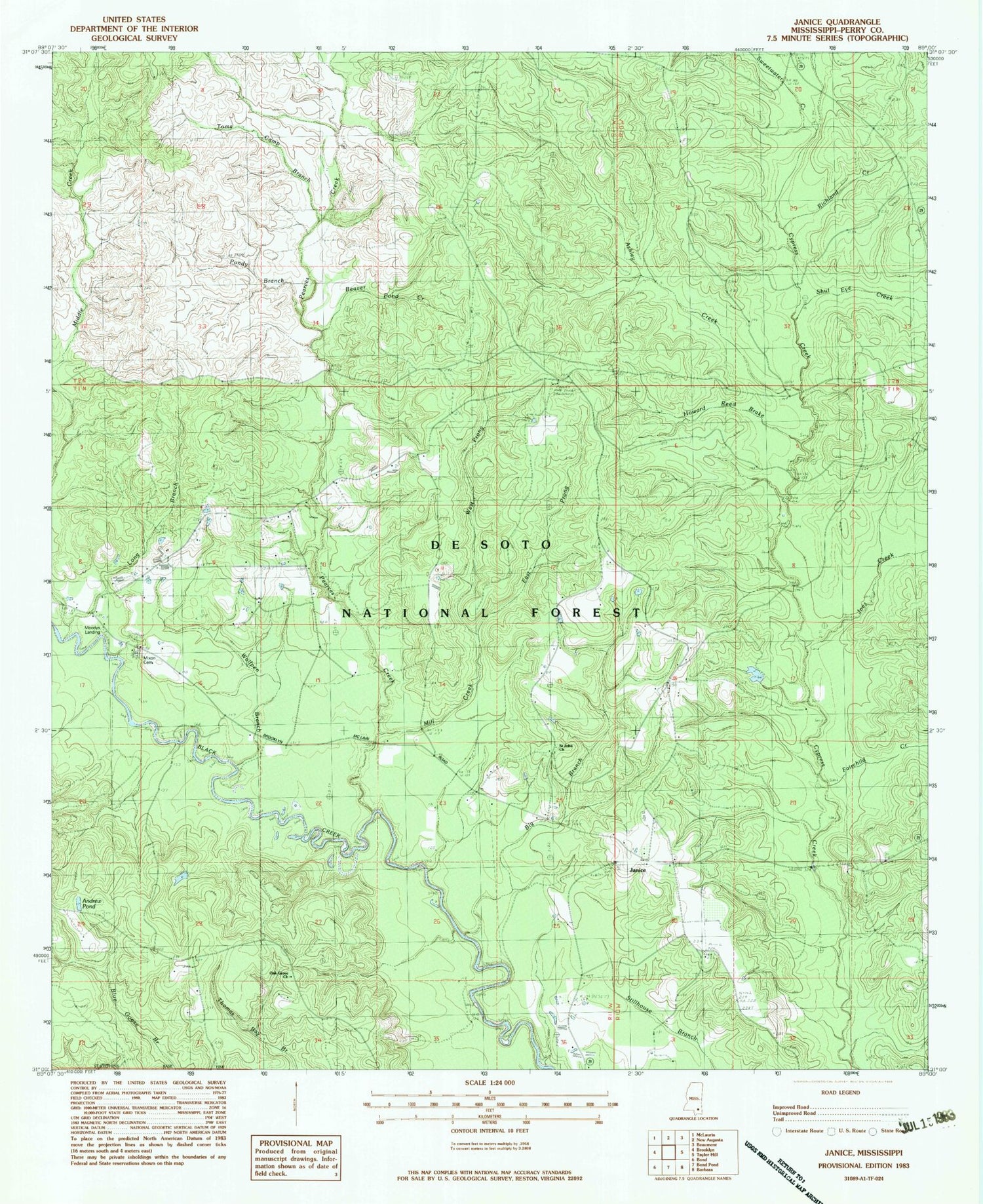
Classic USGS Janice Mississippi 7.5'x7.5' Topo Map
Couldn't load pickup availability
Historical USGS topographic quad map of Janice in the state of Mississippi. Typical map scale is 1:24,000, but may vary for certain years, if available. Print size: 24" x 27"
This quadrangle is in the following counties: Perry.
The map contains contour lines, roads, rivers, towns, and lakes. Printed on high-quality waterproof paper with UV fade-resistant inks, and shipped rolled.
Contains the following named places: Andrew Pond, Ashley Creek, Beaver Pond Creek, Big Branch, East Prong Mill Creek, Fairchild Creek, Howard Reed Brake, Janice, Janice School, Joes Creek, Long Branch, Middle Creek, Mill Creek, Oak Grove Church, Pearces Creek, Pondy Branch, Richland Creek, Saint Johns School, Shut Eye Creek, Sweetwater Creek, Toms Camp Branch, West Prong Mill Creek, Wolfpen Branch, Gay Ford, Mixon Cemetery, Moodys Landing, Saint John Church, Black Creek Hiking Trail, Paret Lot Work Center, Paret Fire Tower, Moodys Landing Recreation Area, Supervisor District 5, Janice Volunteer Fire Department, United States Forest Service Fire Department


