
MyTopo
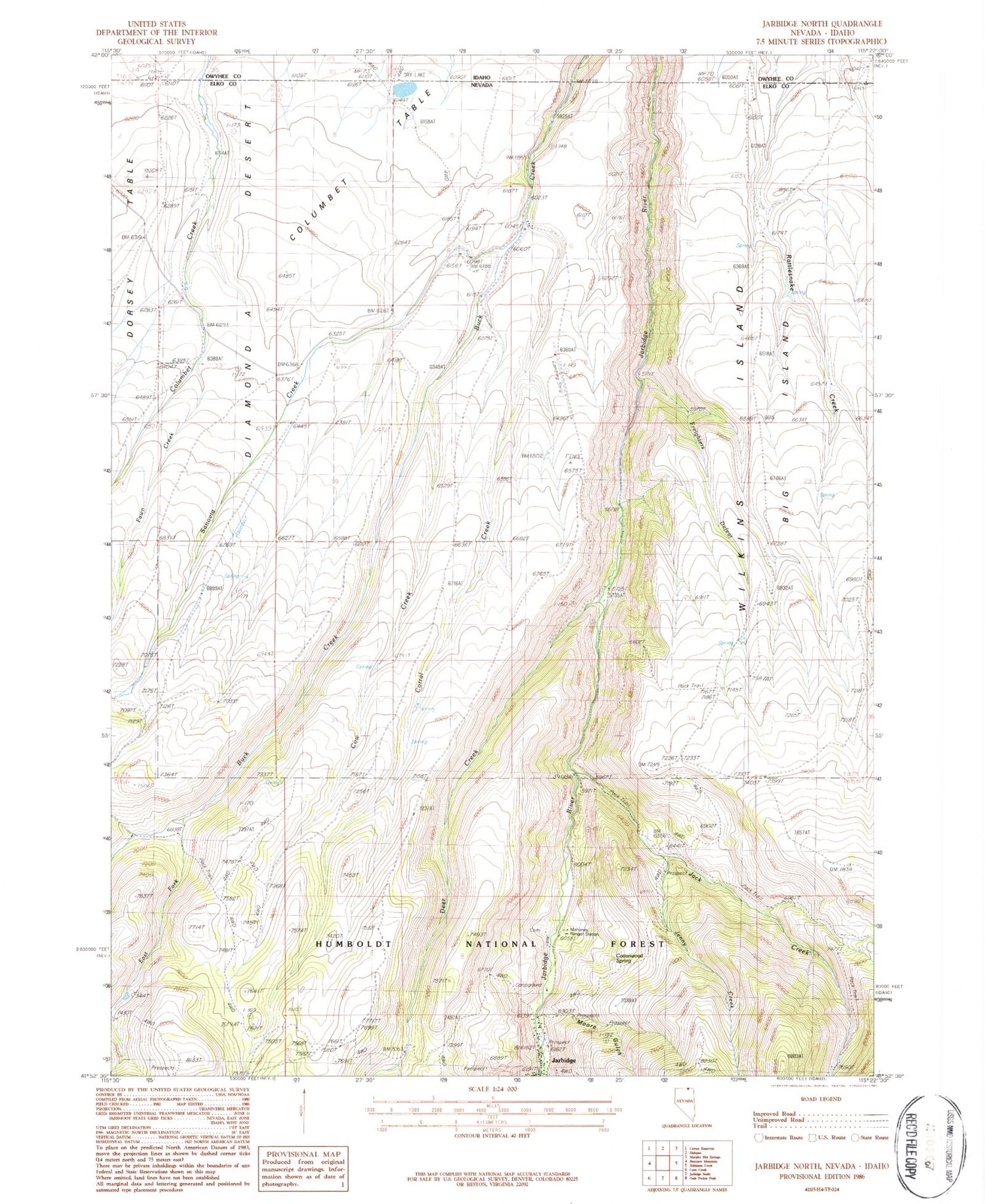
Classic USGS Jarbidge North Nevada 7.5'x7.5' Topo Map
Couldn't load pickup availability
Historical USGS topographic quad map of Jarbidge North in the state of Nevada. Map scale may vary for some years, but is generally around 1:24,000. Print size is approximately 24" x 27"
This quadrangle is in the following counties: Elko, Owyhee.
The map contains contour lines, roads, rivers, towns, and lakes. Printed on high-quality waterproof paper with UV fade-resistant inks, and shipped rolled.
Contains the following named places: Big Island, Columbet Table, Corral Creek, Corral Creek Canyon, Cottonwood Spring, Cow Creek, Cow Creek Canyon, Deer Creek, East Fork Buck Creek, East Fork Rattlesnake Canyon, Fawn Creek, Freighters Defeat, Golden Queen Mine, Jack Creek, Jack Creek Camp, Jarbidge Elementary School, Jarbidge Township, Jarbidge Volunteer Fire Department, Jenny Creek, Jones Spring Wash, Larios Ranch, Mahoney Ranger Station, Middle Fork Rattlesnake Canyon, Midnight Mine, Moore Gulch, Sanovia Creek, Sawmill National Forest Campground, Virginus Mine, Virginus Number One Mine, Virginus Number Two Mine, Ward Ranch, West Fork Rattlesnake Canyon, Wilkins Island, ZIP Code: 89826


