MyTopo
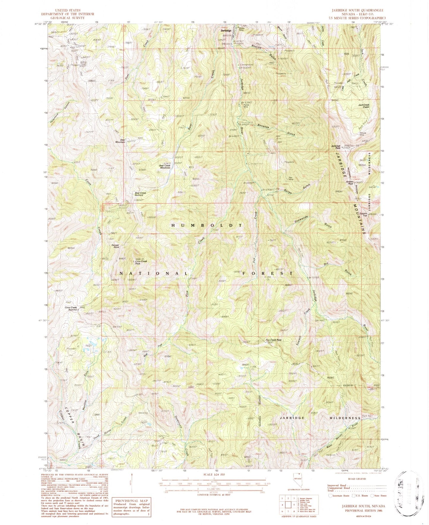
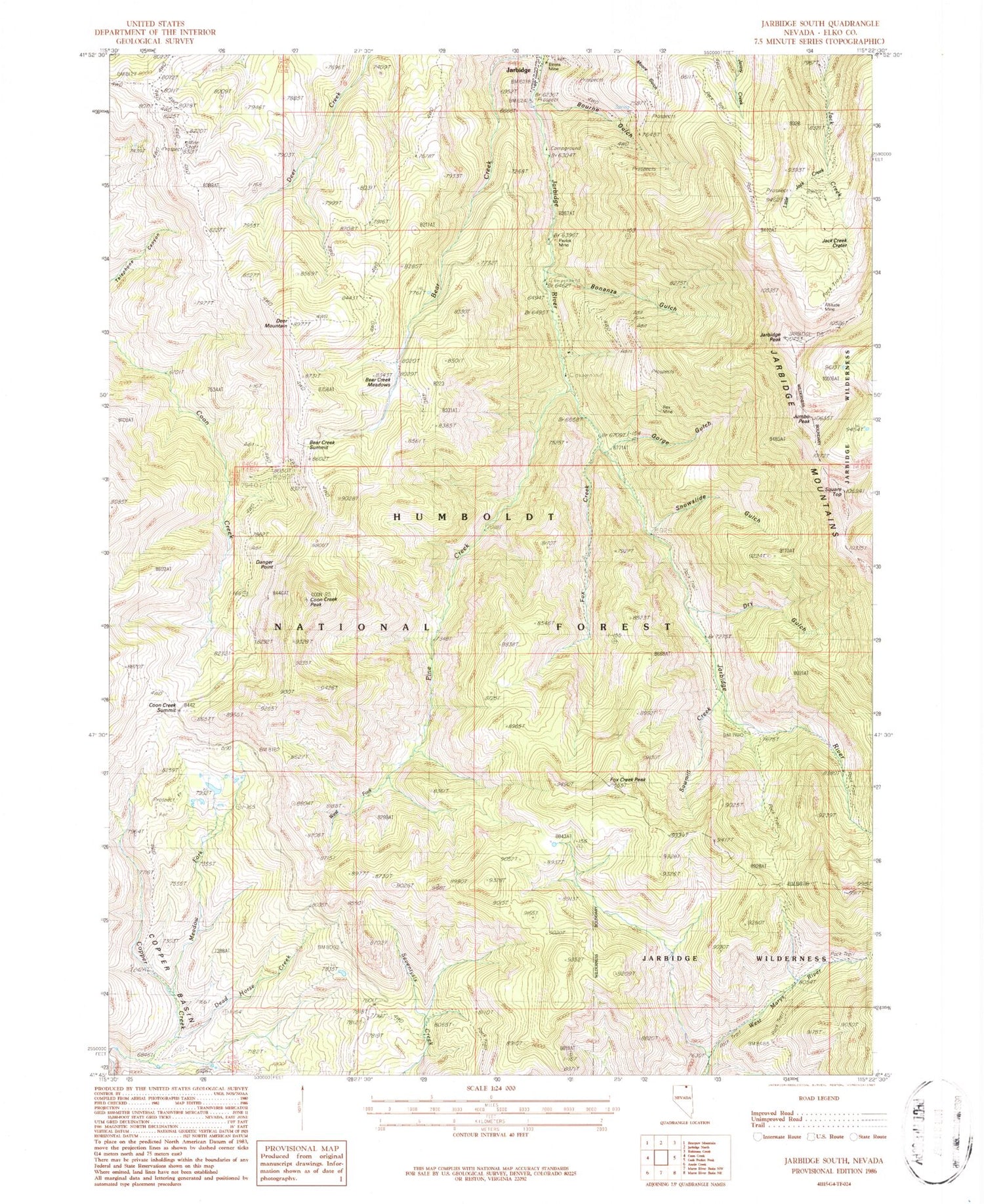
Classic USGS Jarbidge South Nevada 7.5'x7.5' Topo Map
Couldn't load pickup availability
Historical USGS topographic quad map of Jarbidge South in the state of Nevada. Typical map scale is 1:24,000, but may vary for certain years, if available. Print size: 24" x 27"
This quadrangle is in the following counties: Elko.
The map contains contour lines, roads, rivers, towns, and lakes. Printed on high-quality waterproof paper with UV fade-resistant inks, and shipped rolled.
Contains the following named places: Batholith Mines, Coon Creek Mine, Gold Spring Mine, Quartzite Mine, Stray Dog Mine, Redbird Mine, Arizona Mine, Taft Mine, Labelle Mine, Ben Hur Mine, Heckla Mine, Black Cat Mine, Saint Joe Mine, Good Luck Mine, Jarbidge Wonders Mine, Myrtle Mine, Josephine Mine, Rose Bud Mine, Rabbit Foot Mine, White Rock Mine, Third Peak Number One Mine, Windy Mine, Victorias Mine, Puritan Mine, Little Jack Creek Crater, Vukovich Cabin, Bald Peak, Coeur Dalene Jarbidge Cabins, North Hill, The Twins Cabin, Reliance Number One Mine, Bourne Discovery Mine, Pick and Shovel Mine, Sugar Mine, Sugar Number One Mine, Golden Stairs Number Two Mine, Third Peak Number Two Mine, True Fissure Cabin, Arkansas Mine, North Star Mine, Pavlak Mill (historical), Buster Mine, Rainbow American Mines, North Star Mill (historical), Flaxie Mine, Alpha Mine, Jarbidge Mining District, O K Mine, Long Hike Mine, Legitimate Mine, Starlight Mine, Jarbidge Mine, Bear Creek Butte, Cora Lake, Altitude Mine, Bear Creek, Bear Creek Meadows, Bear Creek Summit, Bluster Mine, Bonanza Gulch, Bourne Gulch, Coon Creek Summit, Coon Creek Peak, Copper Basin, Danger Point, Dead Horse Creek, Deer Mountain, Dry Gulch, Fox Creek, Fox Creek Peak, Gold Creek Trail, Gorge Gulch, Jack Creek Crater, Jarbidge, Jarbidge Mountains, Jarbidge Peak, Jumbo Peak, Little Jack Creek, Meadow Fork, Perkins Cabin, Rex Mine, Sawmill Creek, Snowslide Gulch, Square Top, Success Mine, West Fork Pine Creek, Camp Draw Trailhead, Snowslide Trailhead, Pine Creek National Forest Campground, Bluster National Forest Campground, Pavalak National Forest Campground, Jarbidge National Forest Campground, Pavlok Mine, Elcora Mine, Mission Cross Mine, Bonanza Creek, Pavlak (historical), Pavlak Post Office (historical), Jarbidge Post Office


