MyTopo
Classic USGS Jarratt Virginia 7.5'x7.5' Topo Map
Couldn't load pickup availability
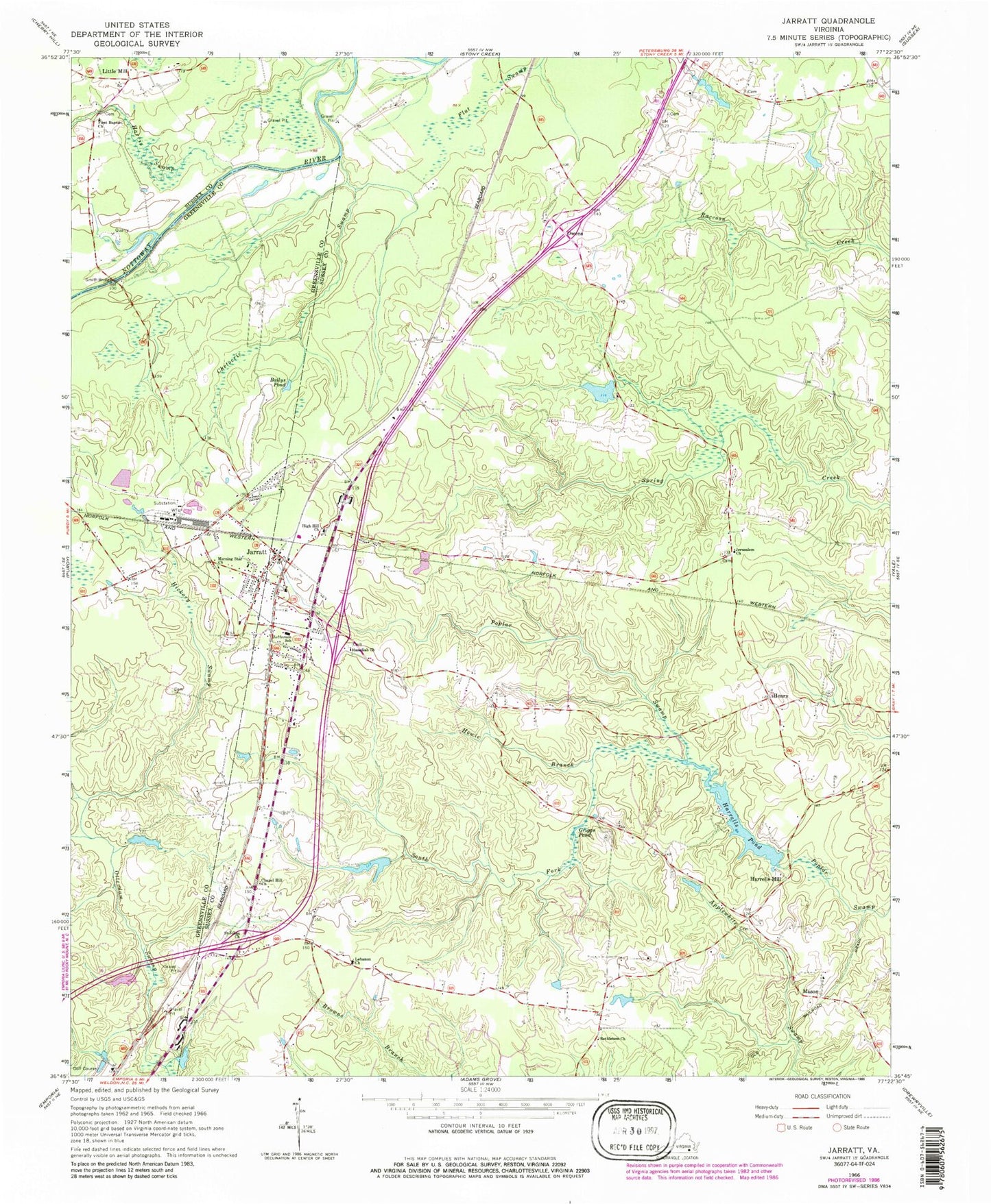
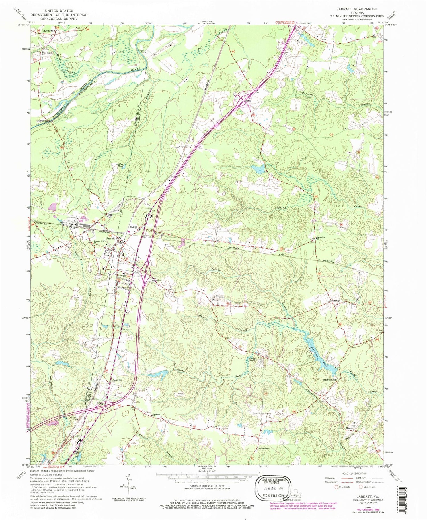
Historical USGS topographic quad map of Jarratt in the state of Virginia. Map scale may vary for some years, but is generally around 1:24,000. Print size is approximately 24" x 27"
This quadrangle is in the following counties: Greensville, Sussex.
The map contains contour lines, roads, rivers, towns, and lakes. Printed on high-quality waterproof paper with UV fade-resistant inks, and shipped rolled.
Contains the following named places: Bailys Pond, Bethlehem Church, Centenary United Methodist Church, Chapel Hill Church, Chetocric Swamp, Creath Dam, Creath Pond, Creath School, First Baptist Church, Greensville Correctional Center, Greensville Correctional Center Unit, Grigg Family Cemetery, Harrells Dam, Harrells Mill, Harrells Pond, Harris Swamp, Hasadiah Church, Hassidiah Cemetery, Henry, Henry District, Hickory Swamp, High Hill Church, High Hills Cemetery, Holy Trinity Episcopal Church, Horne Dam, Horne Pond, Howie Branch, Jarratt, Jarratt Post Office, Jarratt School, Jarratt Volunteer Fire Department, Jefferson Elementary School, Jerusalem Cemetery, Jerusalem Church, Lebanon Church, Little Mill, Loco School, Magnums Mobile Home Park, Mason, Morning Star Church, Otterdam Mobile Home Park, Owens, Pine View Greenhouses, Saint Johns Church, Smith Bridge, South Fork Poplar Swamp, Town of Jarratt, ZIP Code: 23867


