MyTopo
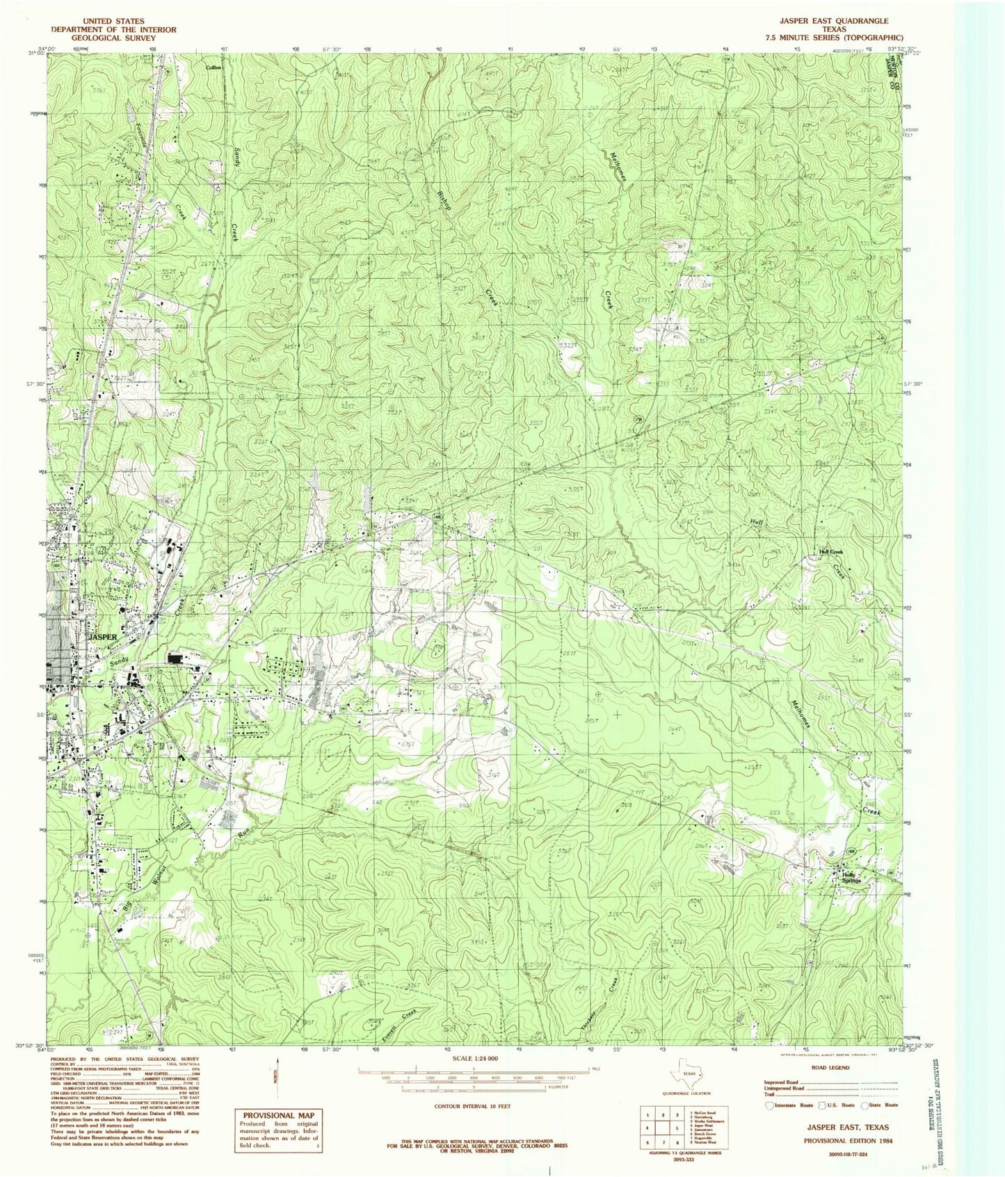
Classic USGS Jasper East Texas 7.5'x7.5' Topo Map
Couldn't load pickup availability
Historical USGS topographic quad map of Jasper East in the state of Texas. Map scale may vary for some years, but is generally around 1:24,000. Print size is approximately 24" x 27"
This quadrangle is in the following counties: Jasper, Newton.
The map contains contour lines, roads, rivers, towns, and lakes. Printed on high-quality waterproof paper with UV fade-resistant inks, and shipped rolled.
Contains the following named places: Aubrey E Cole Law Enforcement Center, Bishop Chapel, Bishop Creek, Blake-Beaty-Orton House, Blox, Buck Spring, Carridine Park, Church of Christ, City of Jasper, Cole Springs Cemetery, Cornerstone Missionary Baptist Church, East End Fire Department, Fourmile Creek, Greater New Bethel Baptist Church, Holly Springs, Huff Creek, Jasper, Jasper County Constable's Office Precinct 1, Jasper County Sheriff's Office, Jasper Volunteer Fire Department Station 1, Kiwanis Park, KTXJ-AM (Jasper), KWYX-FM (Jasper), Little Sandy Creek, New Blox, Peaceful Restaurant Baptist Church, Priority One Emergency Medical Services, Rosebloom Church, Sand Hill Church, Stat Care Emergency Medical Services, Steers Stadium, Tanglewood Baptist Church, Texas Department of Criminal Justice Glen Ray Goodman Transfer Facility, Texas Forest Service Jasper Office, Wings of An Eagle Bible Fellowship Church


