MyTopo
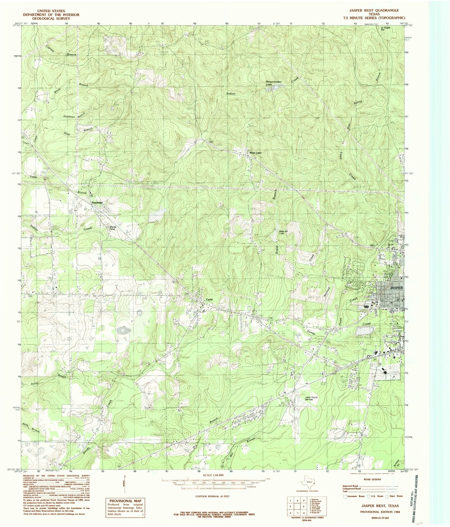
Classic USGS Jasper West Texas 7.5'x7.5' Topo Map
Couldn't load pickup availability
Historical USGS topographic quad map of Jasper West in the state of Texas. Map scale may vary for some years, but is generally around 1:24,000. Print size is approximately 24" x 27"
This quadrangle is in the following counties: Jasper.
The map contains contour lines, roads, rivers, towns, and lakes. Printed on high-quality waterproof paper with UV fade-resistant inks, and shipped rolled.
Contains the following named places: Adams Memorial Church, Beech Grove School, Blue Spring Branch, Boggy Branch, Brooks Pond, Brown Branch, Bulldog Field, Byerly Cemetery, Campground Cemetery, CHRISTUS Southeast Texas - Jasper Memorial Hospital, Colonel Randolph C Doom House, Coon Branch, Coon Creek, Curtis, Deep East Texas Council of Governments, Dixie Community Church, Flournoy Lake, Gilgal Cemetery, Gillgal Church, Good Cemetery, Goodman Branch, Graham Church, Hadnot Cemetery, Hall Cemetery, Hancock Cemetery, Indian Creek, Jasper City Hall, Jasper County Airport-Bell Field, Jasper County Constable's Office Precinct 2, Jasper Division, Jasper Middle School, Jasper Police Department, Jasper Post Office, Jasper Volunteer Fire Department Station 2, Lanier Cemetery, Linsey Lake, Linsey Lake Dam, Little Hope Cemetery, Lone Star Church, Med Trans Southeast Texas Air Rescue 2, Moore Chapel Church, Moore Church, Morgan-Lindsey Lakes, Nazarene Church, Nedville Church, Needle Grove Church, New Hope Church, Neyland Creek, Parnell Elementary School, Pattons Pond, Pattons Pond Dam, Peach Tree Church, Ryalis Cemetery, Sandy Creek Park, Sunflower Church, Texas Department of Public Safety - Highway Patrol Office, Trotti Cemetery, Watts - Fuller Cemetery, West Lake Church, White Branch, Yates Cemetery, ZIP Code: 75951


