MyTopo
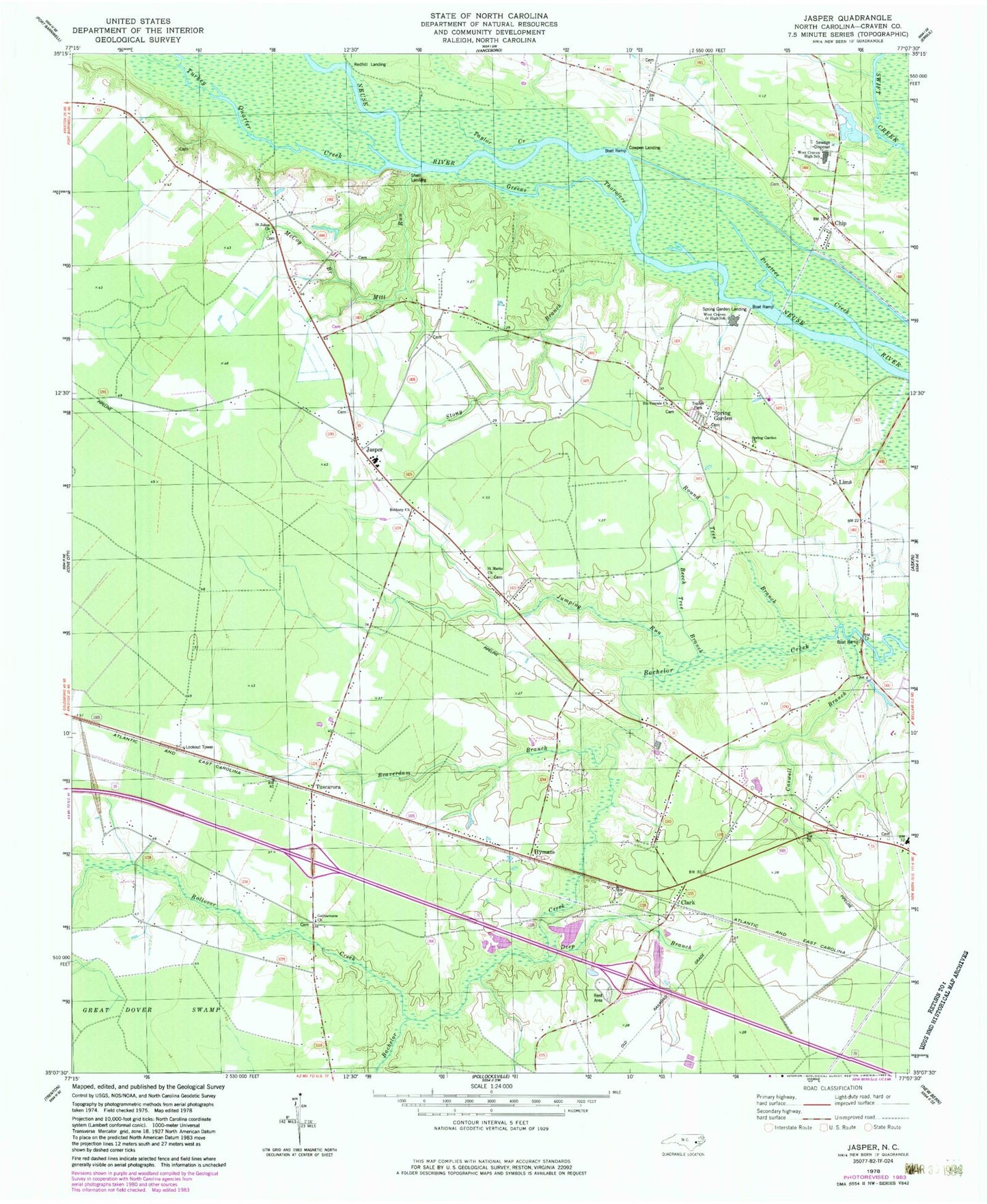
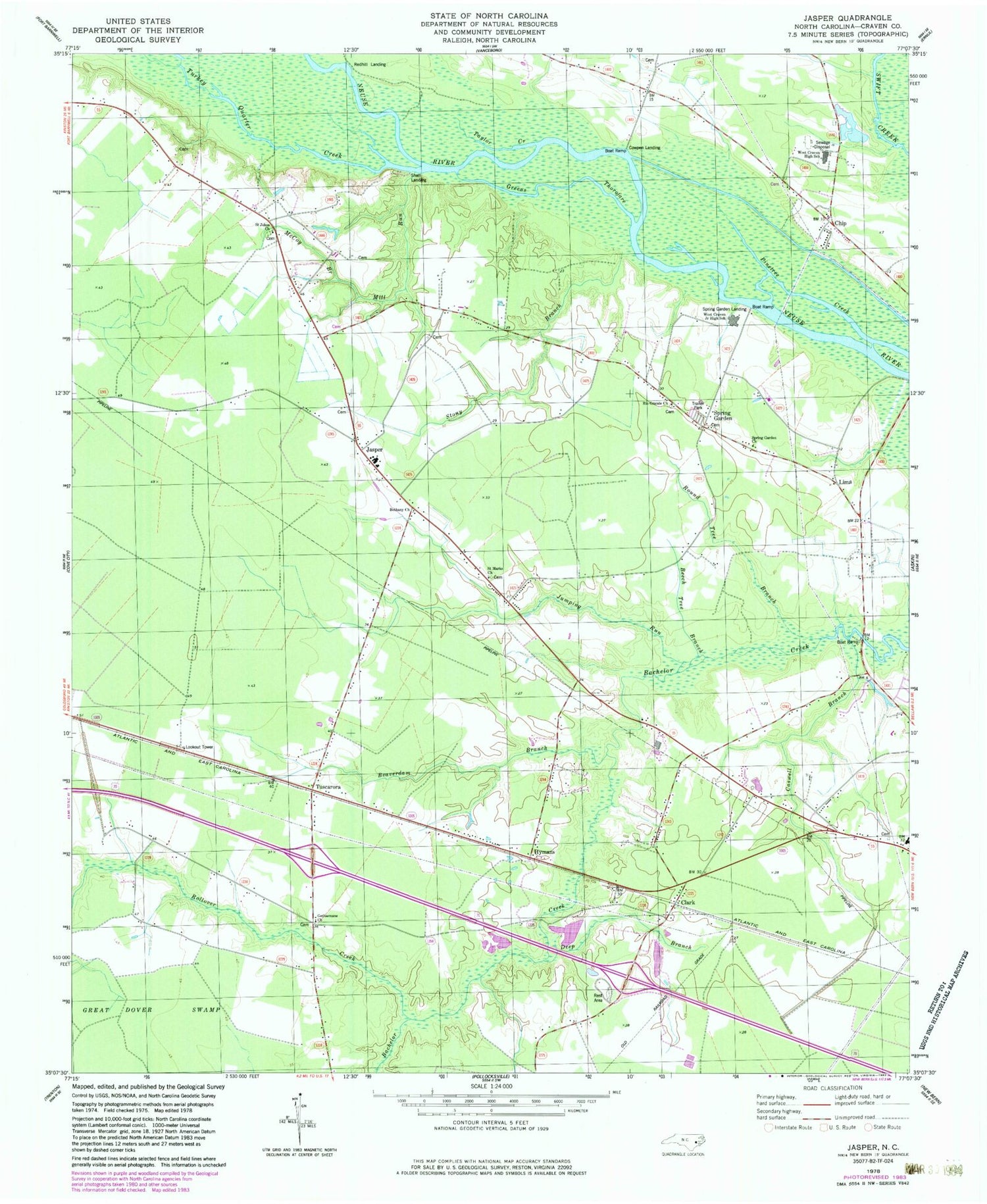
Classic USGS Jasper North Carolina 7.5'x7.5' Topo Map
Couldn't load pickup availability
Historical USGS topographic quad map of Jasper in the state of North Carolina. Map scale may vary for some years, but is generally around 1:24,000. Print size is approximately 24" x 27"
This quadrangle is in the following counties: Craven.
The map contains contour lines, roads, rivers, towns, and lakes. Printed on high-quality waterproof paper with UV fade-resistant inks, and shipped rolled.
Contains the following named places: Archdale County, Beaverdam Branch, Beech Tree Branch, Bethany Church, Caswell Branch, Chip, Clark, Cowpen Landing, Craven County Sheriff's Office, Deep Branch, Gethsemane Church, Greens Thorofare, Hymans, Jasper, Jasper Elementary School, Jumping Run, Lima, McCoy Branch, Mill Branch, Mill Run, New Bern - Craven County Rescue Squad, Number 9 Township Fire and Rescue, Red Wood Terrace Mobile Home Park, Redhill Landing, Rio Grande Church, Rollover Creek, Round Tree Branch, Saint Jones Church, Saint Marks Church, Shell Landing, Spring Garden, Spring Garden Church, Spring Garden Landing, Stony Branch, Taylor Creek, Township 9, Turkey Quarter Creek, Tuscarora, Vanceboro Volunteer Fire Department, WBIC-AM (Trent Woods), West Craven Junior High School, West of New Bern Volunteer Fire Department - Station 3


