MyTopo
Classic USGS Javelina Peak Arizona 7.5'x7.5' Topo Map
Regular price
$16.95
Regular price
Sale price
$16.95
Unit price
per
Couldn't load pickup availability
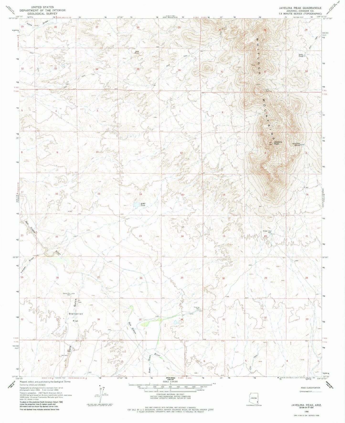
Historical USGS topographic quad map of Javelina Peak in the state of Arizona. Map scale may vary for some years, but is generally around 1:24,000. Print size is approximately 24" x 27"
This quadrangle is in the following counties: Graham.
The map contains contour lines, roads, rivers, towns, and lakes. Printed on high-quality waterproof paper with UV fade-resistant inks, and shipped rolled.
Contains the following named places: Badger Den Well, Dripping Spring, Gold Gulch, Javelina Peak, K M P Tank, Lost Tank, Ryan Draw, Seely Tank, Starvation Flat, Starve Out Well, Timber Draw