MyTopo
Classic USGS Jay Em Wyoming 7.5'x7.5' Topo Map
Regular price
$16.95
Regular price
Sale price
$16.95
Unit price
per
Couldn't load pickup availability
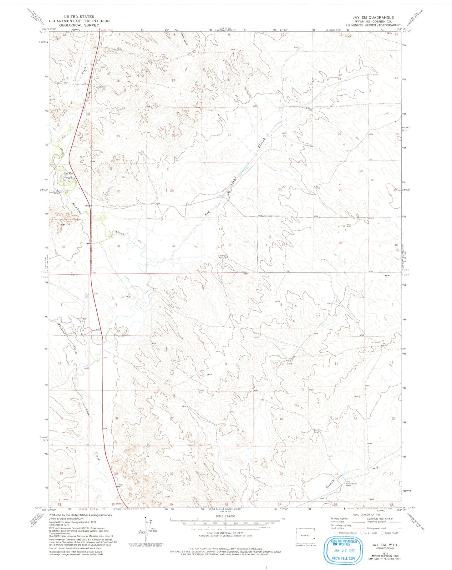
Historical USGS topographic quad map of Jay Em in the state of Wyoming. Map scale may vary for some years, but is generally around 1:24,000. Print size is approximately 24" x 27"
This quadrangle is in the following counties: Goshen.
The map contains contour lines, roads, rivers, towns, and lakes. Printed on high-quality waterproof paper with UV fade-resistant inks, and shipped rolled.
Contains the following named places: Forest Mound Cemetery, Harris Dam, Harris Reservoir, Hileman Draw, J M Creek, J M Dam, J M Reservoir, Jay Em, Jay Em Post Office, Muskrat Creek, Rawhide Creek Division, Red Cloud Number 1 Dam, Red Cloud Reservoir Number 1, Red Cloud Slough, Sixmile Creek Ranch