MyTopo
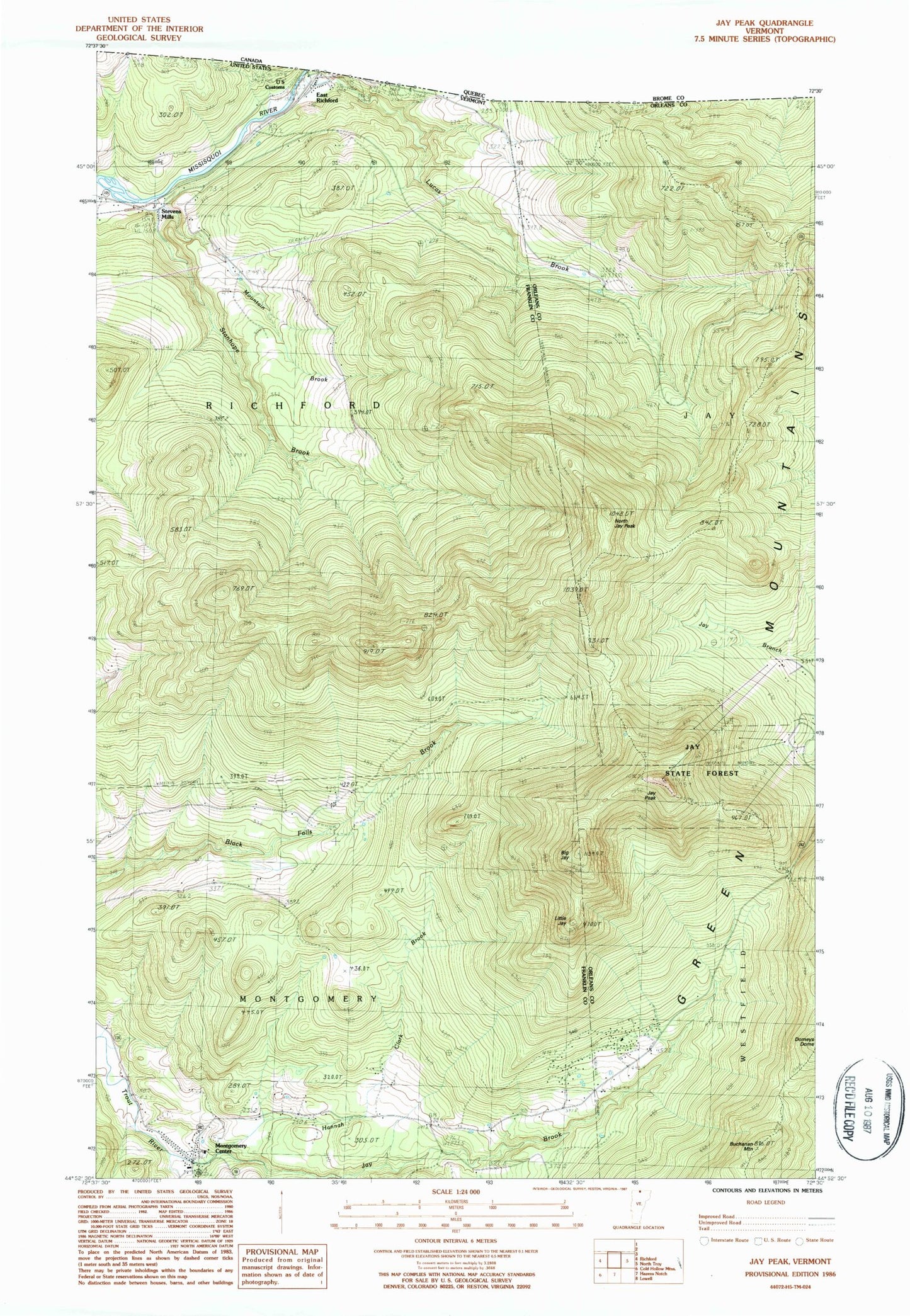
Classic USGS Jay Peak Vermont 7.5'x7.5' Topo Map
Couldn't load pickup availability
Historical USGS topographic quad map of Jay Peak in the state of Vermont. Typical map scale is 1:24,000, but may vary for certain years, if available. Print size: 24" x 27"
This quadrangle is in the following counties: Franklin, Orleans.
The map contains contour lines, roads, rivers, towns, and lakes. Printed on high-quality waterproof paper with UV fade-resistant inks, and shipped rolled.
Contains the following named places: Big Jay, Buchanan Mountain, Hannah Clark Brook, Jay Brook, Jay Camp, Jay Peak, Laura Woodward Camp, Little Jay, Montgomery Center, Mountain Brook, North Jay Peak, South Branch Trout River, Stanhope Brook, Stevens Mills, Wade Brook, Town of Richford, Jay State Forest, West Jay Cemetery, Hazens Notch Ski Touring Center, Montgomery Center Cemetery, Montgomery Center Post Office, Montgomery Elementary School, Saint Isidore Cemetery, Saint Isadore Parish Hall, Montgomery Fire Department, Montgomery Rescue Squad, Doll Peak