MyTopo
Classic USGS Jay Taylor Ranch Texas 7.5'x7.5' Topo Map
Couldn't load pickup availability
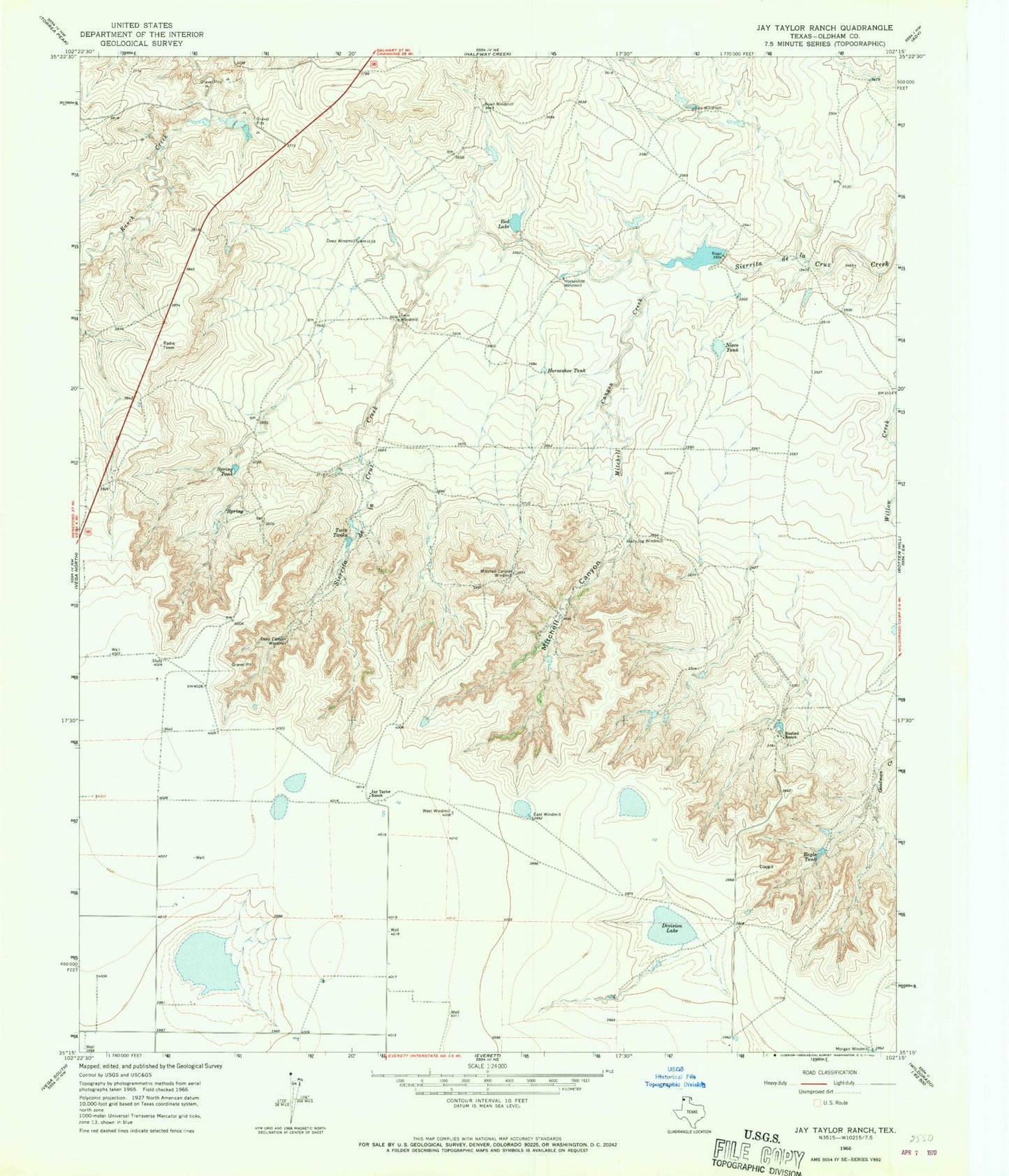
Historical USGS topographic quad map of Jay Taylor Ranch in the state of Texas. Map scale may vary for some years, but is generally around 1:24,000. Print size is approximately 24" x 27"
This quadrangle is in the following counties: Oldham.
The map contains contour lines, roads, rivers, towns, and lakes. Printed on high-quality waterproof paper with UV fade-resistant inks, and shipped rolled.
Contains the following named places: Binford Ranch, Deep Canyon Windmill, Deep Windmill, Division Lake, Eagle Tank, East Windmill, Horseshoe Tank, Horseshoe Windmill, Jay Taylor Ranch, Jog Windmill, Mitchell Canyon, Mitchell Canyon Creek, Mitchell Canyon Windmill, Niece Tank, Red Lake, Road Windmill, Salt Windmill, Spring Tank, Taylor Lake, Taylor Lake Dam, Twin Tanks, Twin Windmill, West Windmill