MyTopo
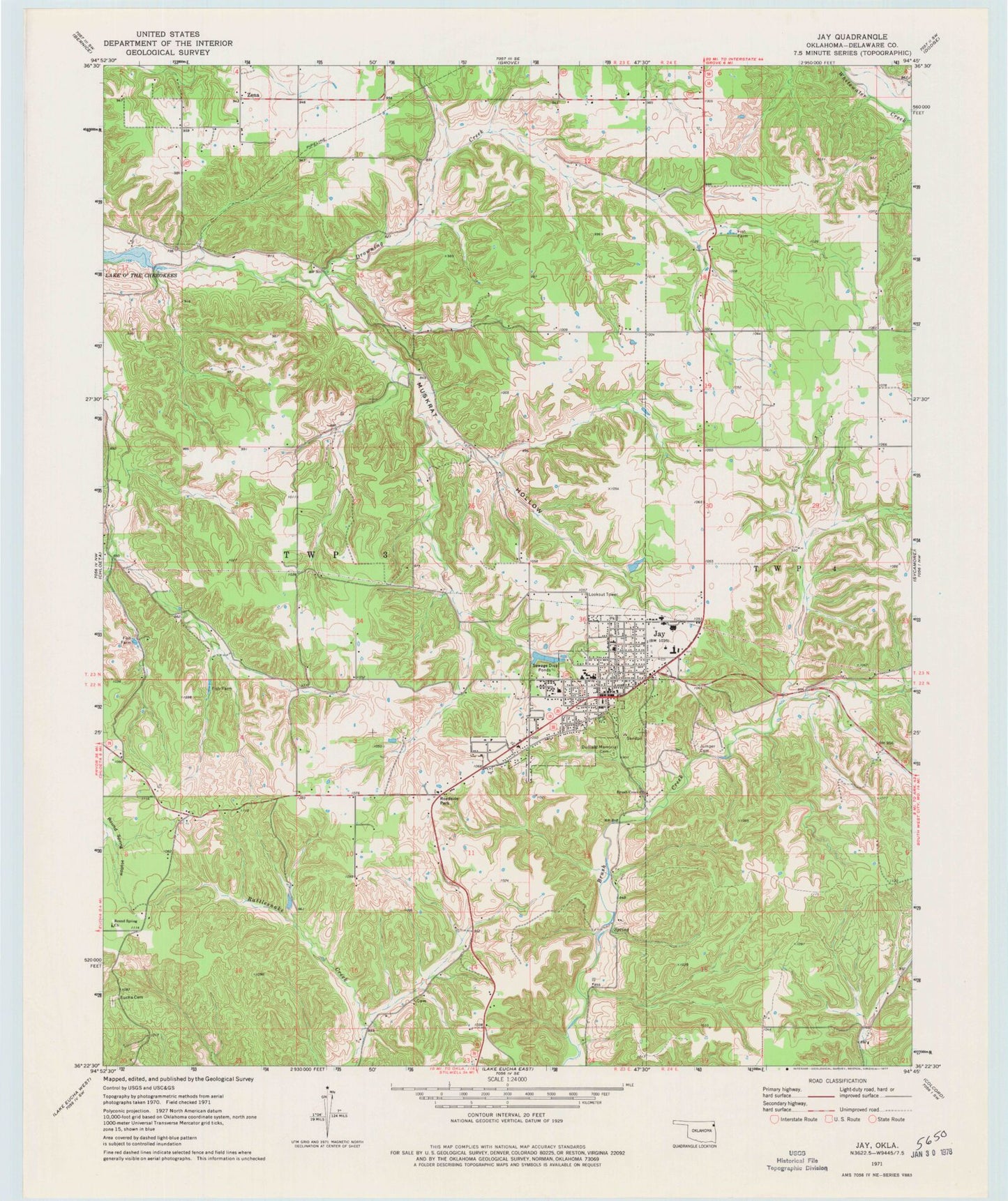
Classic USGS Jay Oklahoma 7.5'x7.5' Topo Map
Couldn't load pickup availability
Historical USGS topographic quad map of Jay in the state of Oklahoma. Map scale may vary for some years, but is generally around 1:24,000. Print size is approximately 24" x 27"
This quadrangle is in the following counties: Delaware.
The map contains contour lines, roads, rivers, towns, and lakes. Printed on high-quality waterproof paper with UV fade-resistant inks, and shipped rolled.
Contains the following named places: Brush Creek, Brush Creek Census Designated Place, Brush Creek Church, City of Jay, Deer Lick, Delaware County, Delaware County Sheriff's Office, Delaware Non-Community, Duffield Memorial Cemetery, Jay, Jay Division, Jay Emergency Medical Services, Jay Fire Department, Jay Heliport, Jay High School, Jay Middle School, Jay Police Department, Jay Post Office, Jay Upper Elementary School, Jumper Cemetery, Muskrat Hollow, New Eucha Census Designated Place, Oklahoma Forestry Services Delaware, Round Spring Church, Round Springs Cemetery, Ulm Prairie, Zena, ZIP Code: 74346