MyTopo
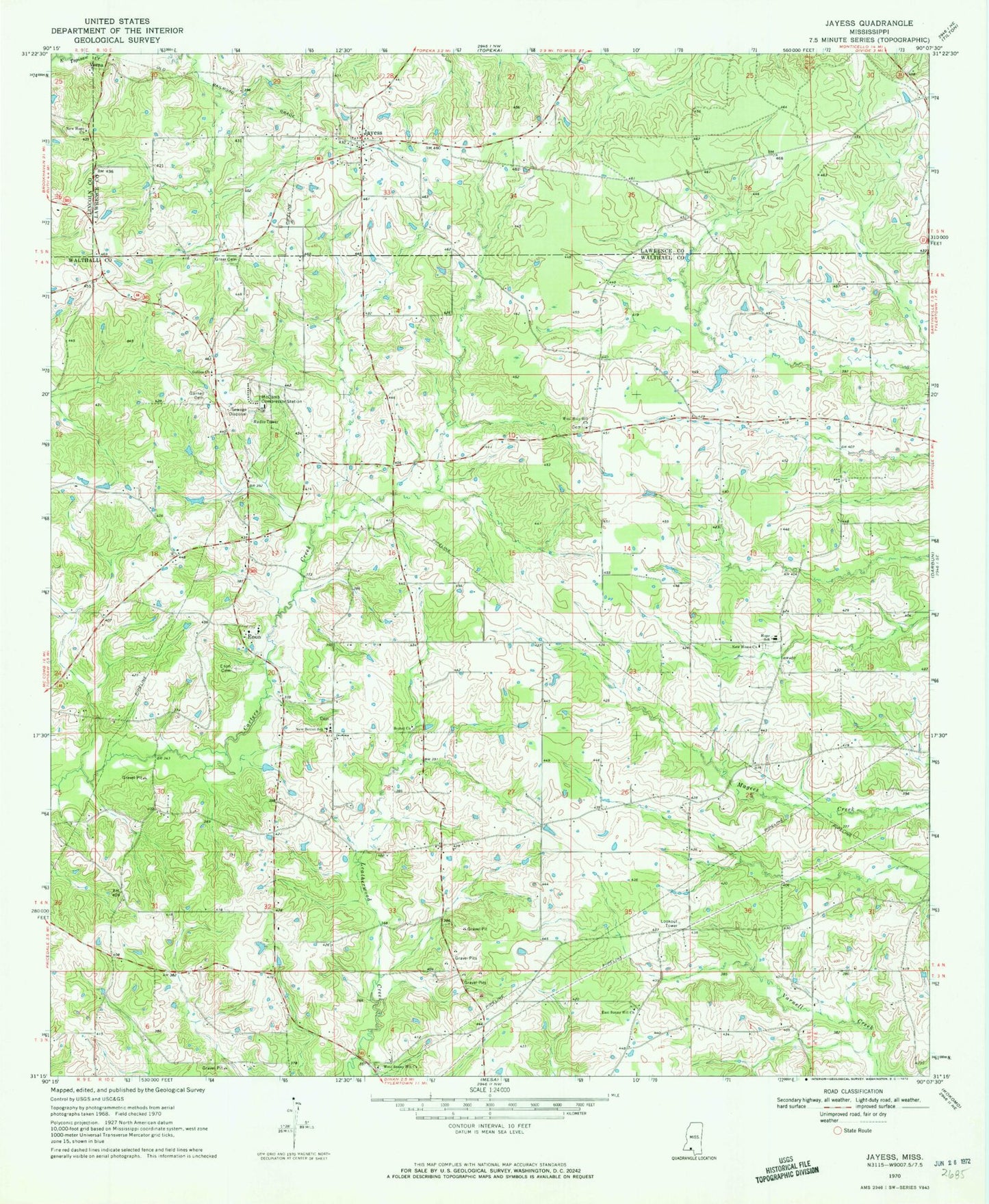
Classic USGS Jayess Mississippi 7.5'x7.5' Topo Map
Couldn't load pickup availability
Historical USGS topographic quad map of Jayess in the state of Mississippi. Map scale may vary for some years, but is generally around 1:24,000. Print size is approximately 24" x 27"
This quadrangle is in the following counties: Lawrence, Lincoln, Walthall.
The map contains contour lines, roads, rivers, towns, and lakes. Printed on high-quality waterproof paper with UV fade-resistant inks, and shipped rolled.
Contains the following named places: Bethel Church, Carters Precinct, East Sunny Hill Church, Enon, Enon Baptist Church, Enon Cemetery, Enon Fire Department, Galilee Church, Garner Cemetery, Greer Cemetery, Hope Hill, Hope School, Jayess, Jayess Baptist Church, Jayess Post Office, New Bethel Cemetery, New Bethel Jesus Name Church, New Bethel School, New Home Church, New Hope Church, Supervisor District 4, Verna, West Holy Hill Church, West Sunny Hill Missionary Baptist Church, ZIP Code: 39641