
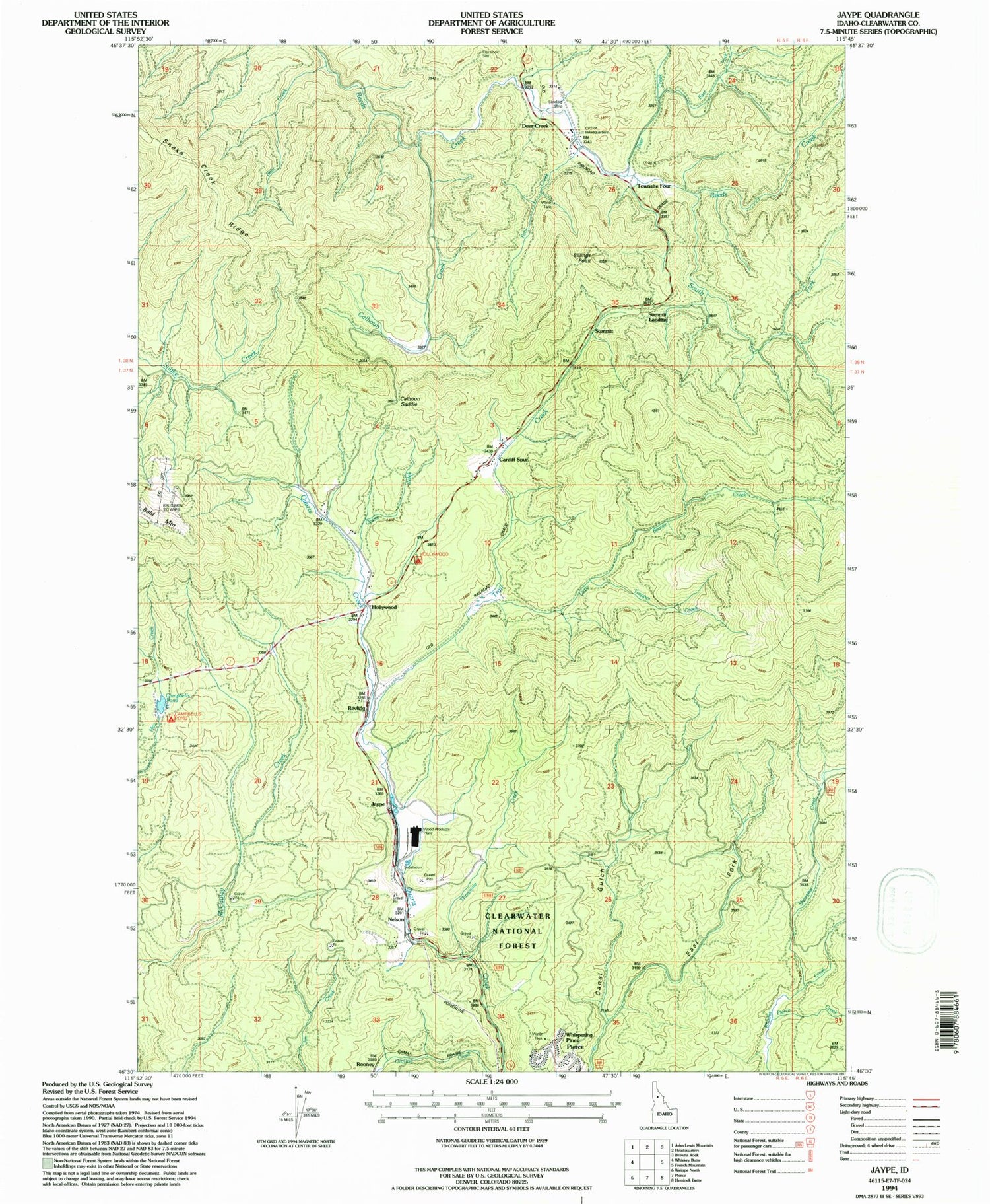
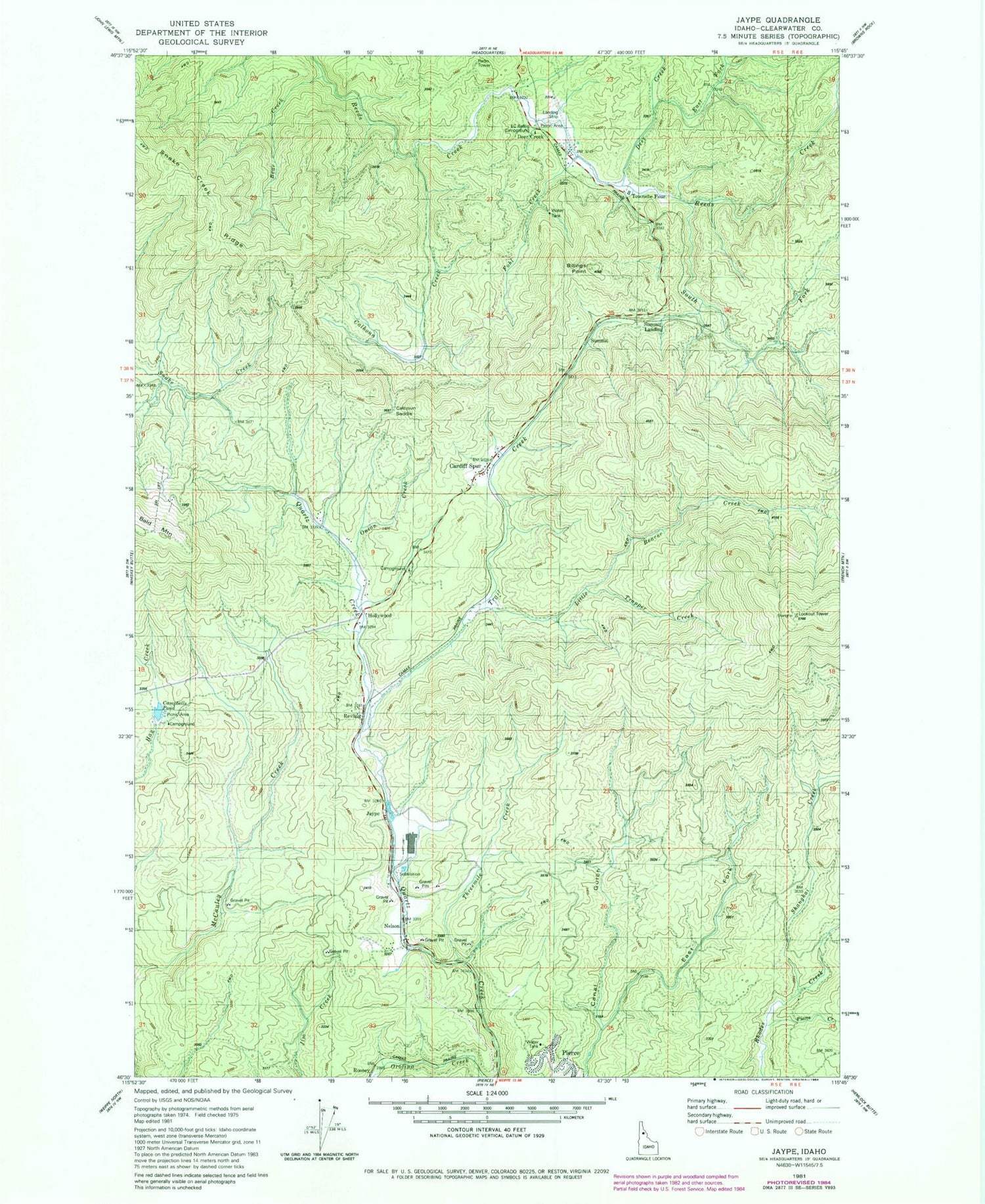
MyTopo
Classic USGS Jaype Idaho 7.5'x7.5' Topo Map
Couldn't load pickup availability
Historical USGS topographic quad map of Jaype in the state of Idaho. Map scale may vary for some years, but is generally around 1:24,000. Print size is approximately 24" x 27"
This quadrangle is in the following counties: Clearwater.
The map contains contour lines, roads, rivers, towns, and lakes. Printed on high-quality waterproof paper with UV fade-resistant inks, and shipped rolled.
Contains the following named places: Bear Creek, Calhoun Creek, Campbell Ponds, Cardiff, Clearwater Timber Protective Assoc Headqtrs, Cptpa Headquarters Airport, Deer Creek, East Canal Gulch, East Fork Deer Creek, EC Rettig Campground, Fohl Creek, Hollywood, Hollywood Recreation Area, Jaype, Little Beaver Creek, Pierce Creek, Revling Spur, Shanghai Creek, Shanghai Lookout, South Fork Reeds Creek, Summit, Summit Lookout, Threemile Creek, Trail Creek, Trapper Creek, ZIP Code: 83546


