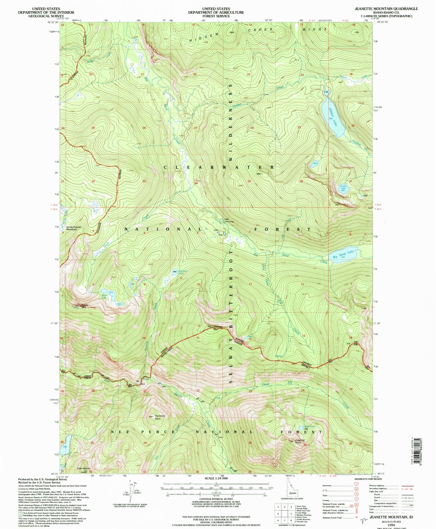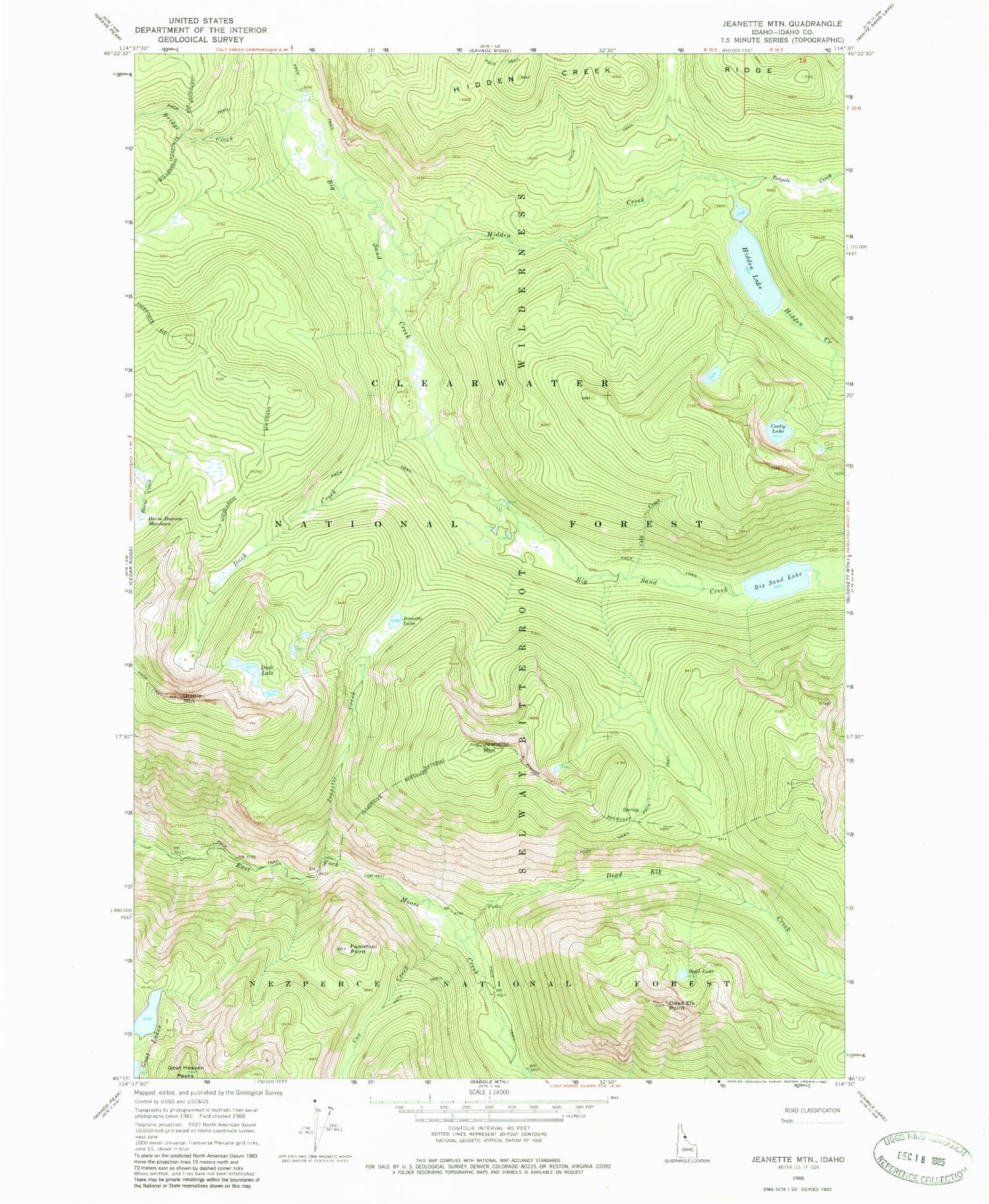
MyTopo
Classic USGS Jeanette Mountain Idaho 7.5'x7.5' Topo Map
Couldn't load pickup availability
Historical USGS topographic quad map of Jeanette Mountain in the state of Idaho. Typical map scale is 1:24,000, but may vary for certain years, if available. Print size: 24" x 27"
This quadrangle is in the following counties: Idaho.
The map contains contour lines, roads, rivers, towns, and lakes. Printed on high-quality waterproof paper with UV fade-resistant inks, and shipped rolled.
Contains the following named places: Big Sand Lake, Boyd Lake, Bridge Creek, Chute Creek, Cold Creek, Corky Lake, Cox Creek, Dead Elk Creek, Dead Elk Point, Diablo Mountain, Duck Creek, Duck Lake, Footstool Point, Hidden Creek, Hidden Lake, Jeanette Creek, Jeanette Lake, Jeanette Mountain, Poacher Creek, Little Dead Elk Creek, Goat Lakes